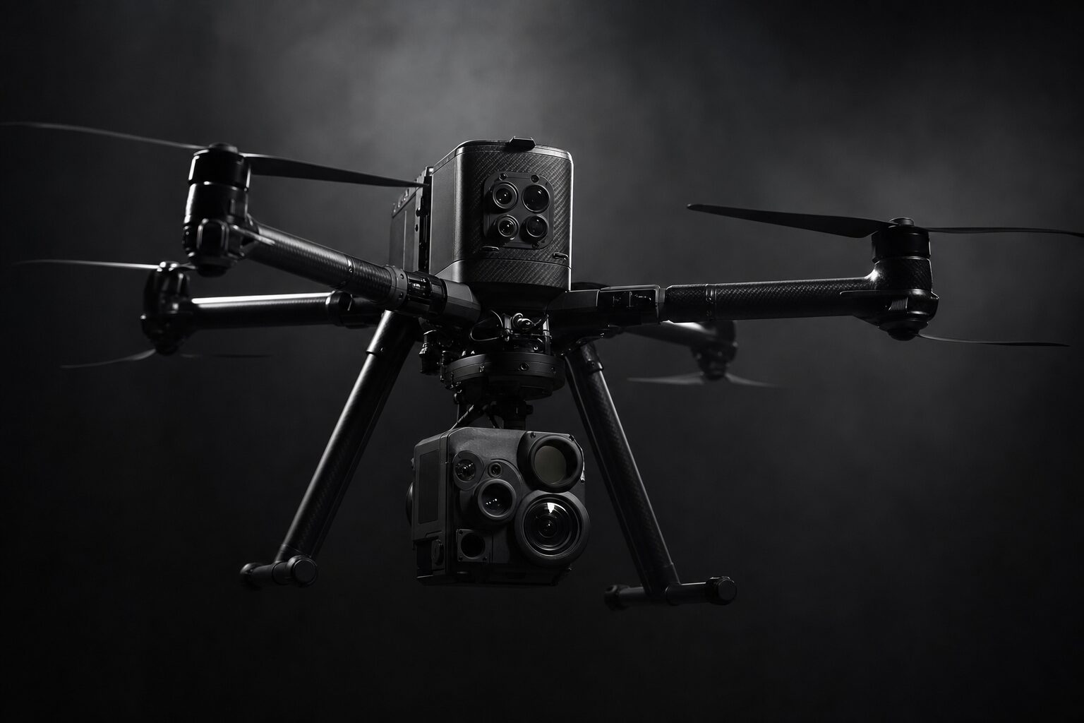
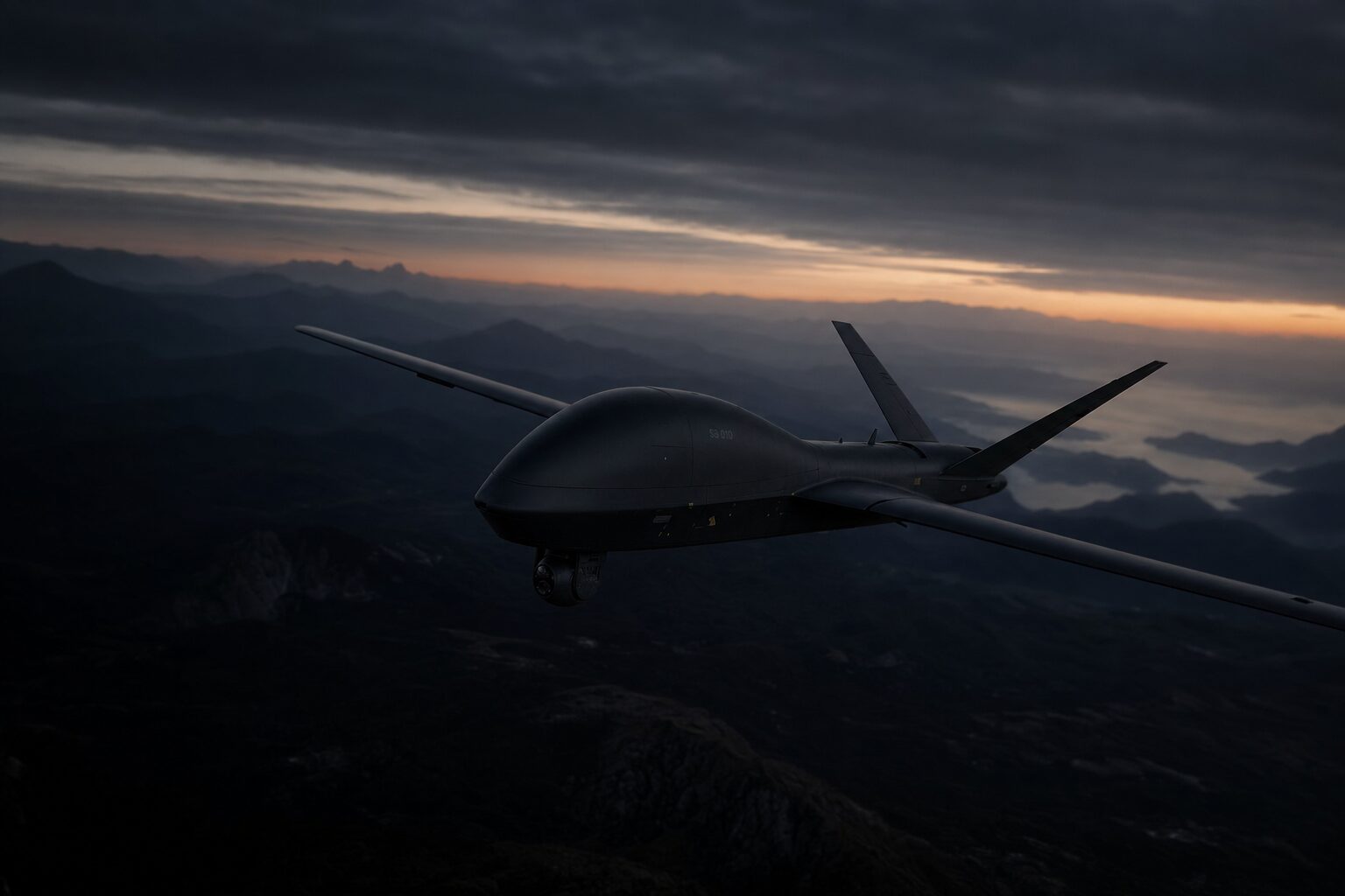
Drone detection, C-UAS target representation, test sites with ED-R, surveying and agricultural aerial application

Aerial Protection Group GmbH
Starnberg · SchwarmeNew on Amplifa
About Aerial Protection Group
Aerial Protection Group GmbH is a service provider for airspace surveillance, drone defense and drone-based data acquisition. The company was founded by veterans from aerospace and defense and offers KRITIS-compliant drone detection with sensor fusion of RF, optical and thermal sensors. Further core areas include realistic C-UAS target representation with FPV drones (5–15 inch), VTOL and fixed-wing systems of the Shahed type, as well as test sites with its own ED-R (flight restriction zone). In addition, APG operates a digital Drone Flight Center for authorization, live monitoring and georeferenced data processing, performs drone-based surveying with LiDAR and photogrammetry, and offers agricultural aerial application including the spreading of seed and fertilizer. Customers are KRITIS operators, authorities and organizations with security tasks as well as companies from defense, surveying and agriculture in Germany and Austria.
- Site
- Schwarme
- Processes
- Drone detection & KRITIS (sensor fusion RF, optics, thermal), C-UAS target representation (FPV 5–15 inch, VTOL, fixed-wing of the Shahed type), Drone surveying LiDAR point clouds, Photogrammetry & orthophotos, Digital terrain models, Aerial seeding (seed & cover crops), Fertilizer application (site-specific partial application), Multispectral crop monitoring
- Materials
- RF Detection, Optics & Thermal, LiDAR, Photogrammetry
- Certificates
- ISO 9001, ISO 9001 (in preparation)
- Industries
- Defense and security industry, KRITIS operators, Authorities and organizations with security tasks (BOS), Agriculture, Surveying/Construction
- 01
Requirements analysis and authorizations
- 02
Flight area scouting and site provision (ED-R)
- 03
Installation of detection systems (RF, optical, thermal)
- 04
Target representation and test execution
- 05
Georeferenced data processing
- 06
Training, maintenance, service and support
Processes & Technologies
RF Detection
Passive antenna systems for detecting drones up to 5 km range.
Optics & Thermal
Optical and thermal sensors for sensor fusion with RF data.
LiDAR
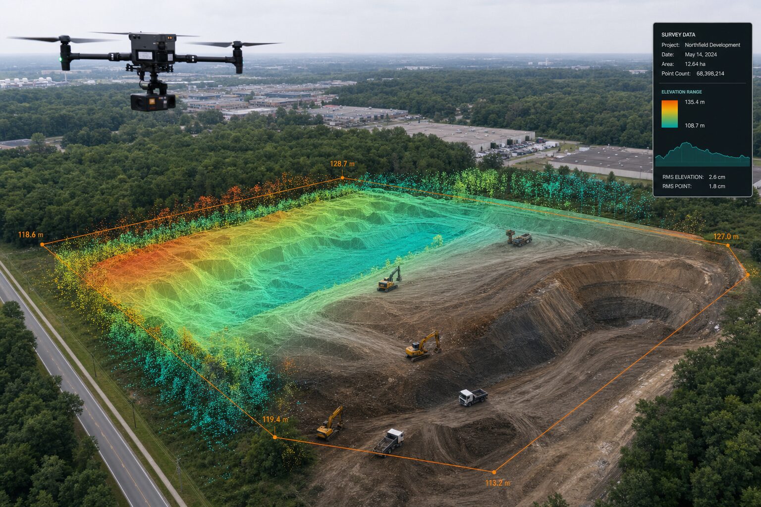
High-density 3D point clouds of terrain, structures and vegetation.
Photogrammetry
True-to-scale, georeferenced orthophotos for planning and documentation.
Locations
Starnberg
DEImprint seat / Management (Almeida Weg 35)

Schwarme
DEContact/Operations site (Hustedter Weg 8)
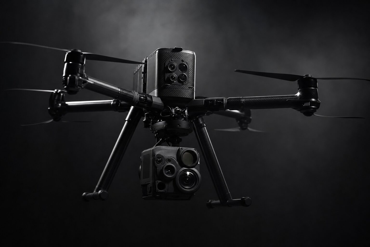
- DJI agricultural and surveying platforms
Services & Systems
Inside the production
Industries
Processes & technical limits
| Processes | Tolerance | Max. part | Weight | Lot size | Materials |
|---|---|---|---|---|---|
| Drone detection & KRITIS (sensor fusion RF, optics, thermal)Testing | – | – | – | – | – |
| C-UAS target representation (FPV 5–15 inch, VTOL, fixed-wing of the Shahed type)Engineering | – | – | – | – | – |
| Drone surveying LiDAR point cloudsTesting | – | – | – | – | – |
| Photogrammetry & orthophotosTesting | – | – | – | – | – |
| Digital terrain modelsTesting | – | – | – | – | – |
| Aerial seeding (seed & cover crops)Other | – | – | – | – | – |
| Fertilizer application (site-specific partial application)Other | – | – | – | – | – |
| Multispectral crop monitoringTesting | – | – | – | – | – |
| Drone Flight Center (corridor construction & inspection, georeferenced data processing)Engineering | – | – | – | – | – |
| Remote pilot training A2Engineering | – | – | – | – | – |
1 Anlagen & Maschinen
| Machine | Manufacturer / model | Quantity | Working area | Year built | Site |
|---|---|---|---|---|---|
| DJI agricultural and surveying platforms (drones) | DJI | – | – | – | Schwarme / Starnberg |
Additional services
Quality & Compliance
APG works with audit-ready documentation and a targeted ISO-9001 certification; according to the website, the certification is currently in preparation.
| Evidence | Schwarme |
|---|---|
| ISO 9001 (in preparation) |
History
Founded by veterans from aerospace and defense (founding year not specified)