Technical office for geology, hydrogeology and natural hazards – from subsoil investigation to construction supervision.
ALPECON GmbH
Telfes im Stubaital · Telfes im StubaiNew on Amplifa
About alpECON
ALPECON GmbH is a technical office for geosciences based in Telfes im Stubaital (Tyrol). The five-person team of geologists and hydrogeologists assesses soil, rock and water and accompanies construction projects from concept to completion. The range of services includes construction/engineering geology with subsoil investigation (drillings, soundings, geophysics), subsoil reports and foundation concepts, hydrogeological planning of wells and spring catchments, natural hazard reports on rockfall, landslides, debris flows and landslips, as well as safety analyses under cableway law for ski resorts. Further areas are bulk raw materials (deposits modeling, extraction permits under MinroG), geothermal energy and thermal groundwater use, landfill and contaminated site project design, and substrate maps for forest type classification. Investigation methods include geophysical measurements, drone flights, laboratory analyses and GIS digitization (ArcGIS). Clients include, among others, ÖBB, Brenner Eisenbahn, TIWAG, the State of Tyrol, the State of Styria as well as cableway and gravel plant operators.
- Site
- Telfes im Stubaital
- Processes
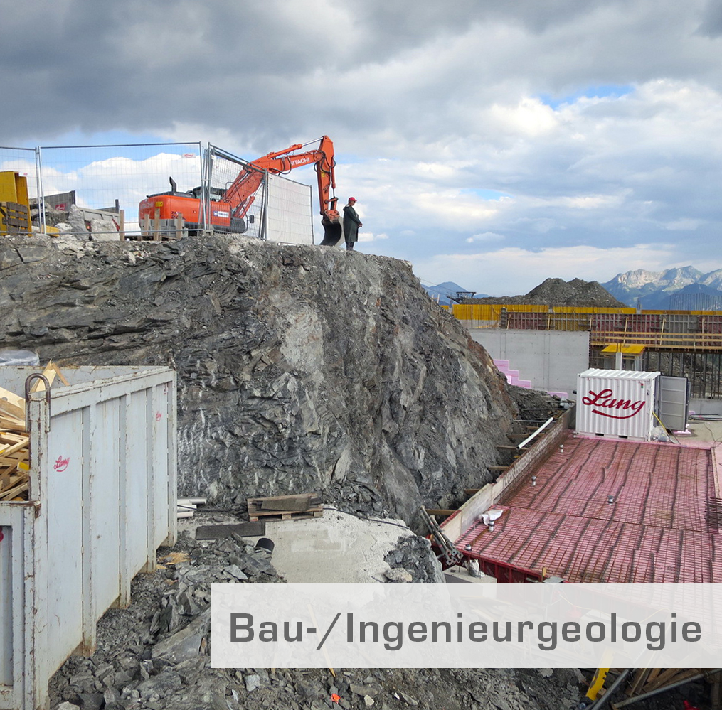
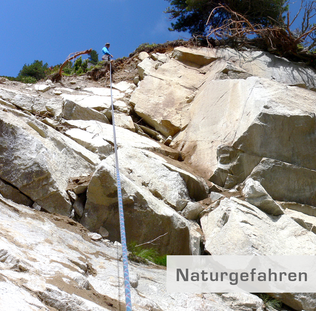
- Construction/engineering geology (subsoil investigation, subsoil report, foundation concept), Geological-geotechnical and hydrogeological construction supervision, Natural hazard investigations (rockfall, landslides, debris flows, landslips, gypsum karst,, Hydrogeology for wells (well calculation, pumping test, protection zones), Thermal groundwater use / groundwater heat pump systems (feasibility analysis, modeling), Geothermal energy / borehole heat exchanger system planning (BHE simulation, EED), Small hydropower plants – site assessments, route optimization, construction supervision, Forest soils – substrate maps (SSGS classification, soil modeling, forest type classification)
- Materials
- Soil, Rock, Groundwater, Gravel, Sand, Stone, Concrete aggregates, Hydraulic engineering stone
- Certificates
- Certification for drinking water sampling, Certification for groundwater and soil sampling at contaminated sites, Certification for groundwater/soil sampling (contaminated sites)
- Founded
- 2000
- Employees
- 5
- Industries
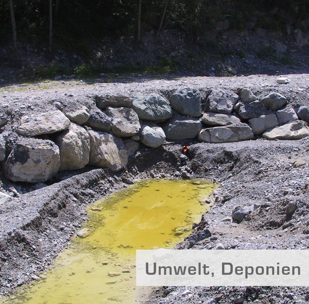
- Construction/Residential construction, Transport/Infrastructure (rail, tunnels), Tourism/Cableways/Ski resorts, Raw material extraction (gravel, sand, quarries), Renewable energies (geothermal, hydropower), Environment/Waste management/Landfills
- 01
Investigation strategy and method selection
- 02
Field surveying, drillings, soundings, geophysics
- 03
Subsoil/rock mass or deposits model
- 04
Solution variants, reports and authority proceedings
- 05
Construction supervision, monitoring and documentation
Investigated media and materials
Soil
Assessment of load-bearing capacity, deformation behavior and permeability as a basis for subsoil models.
Rock
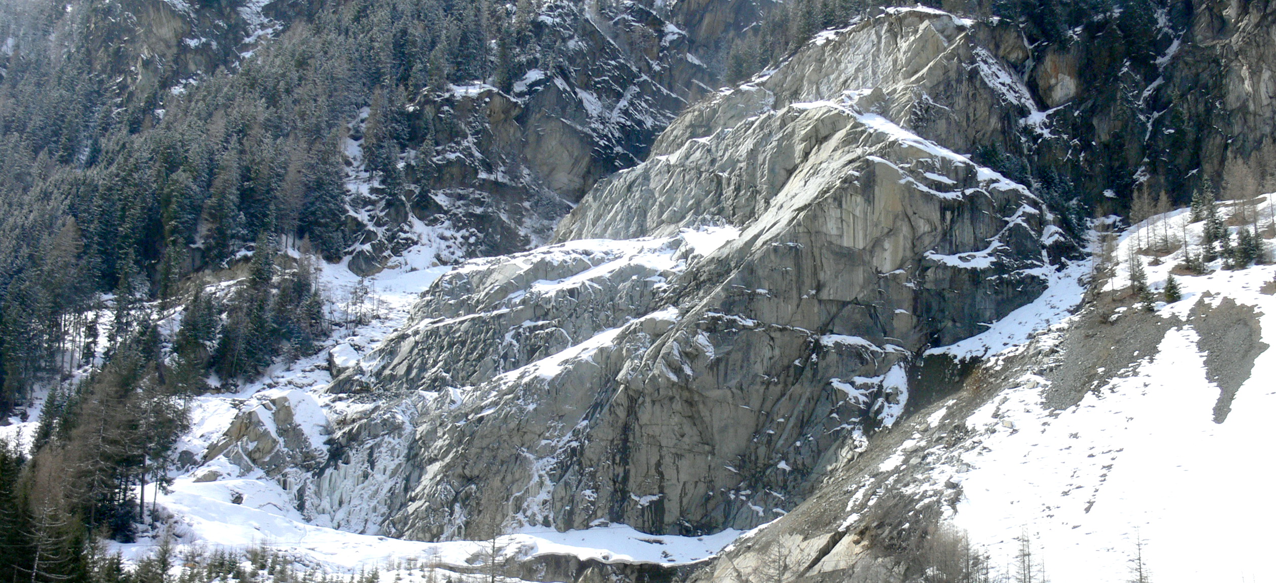
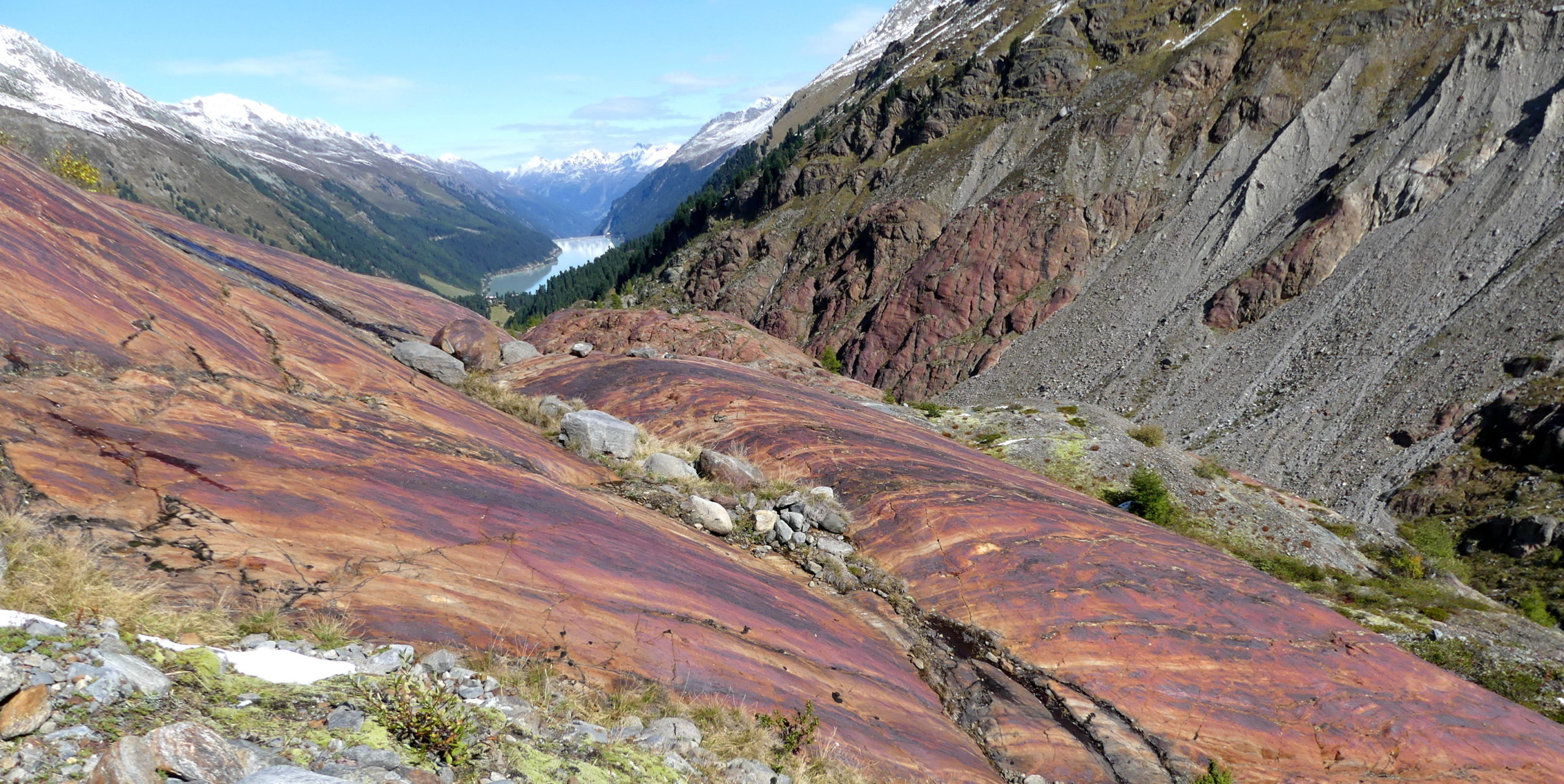
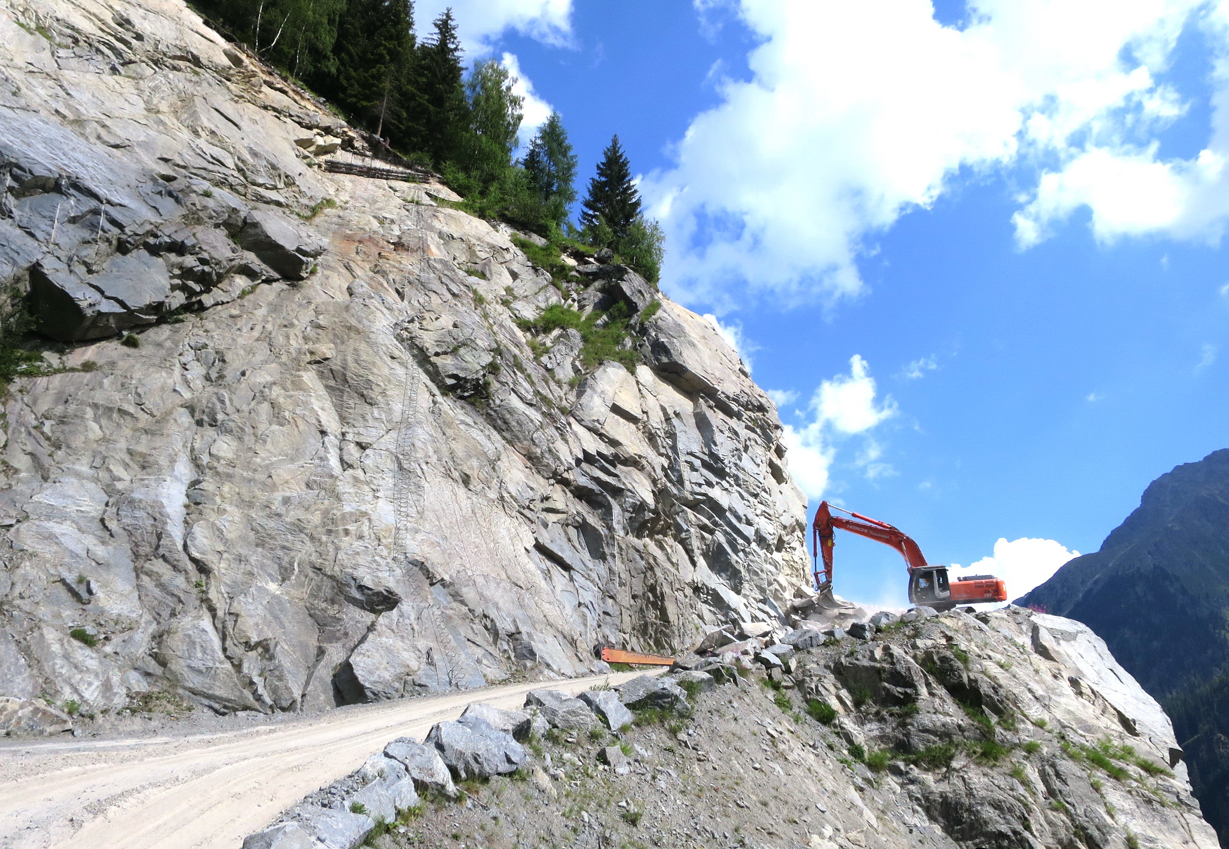
Rock mass assessment and stability verifications, e.g. for slopes, rock wedges and natural hazards.
Groundwater
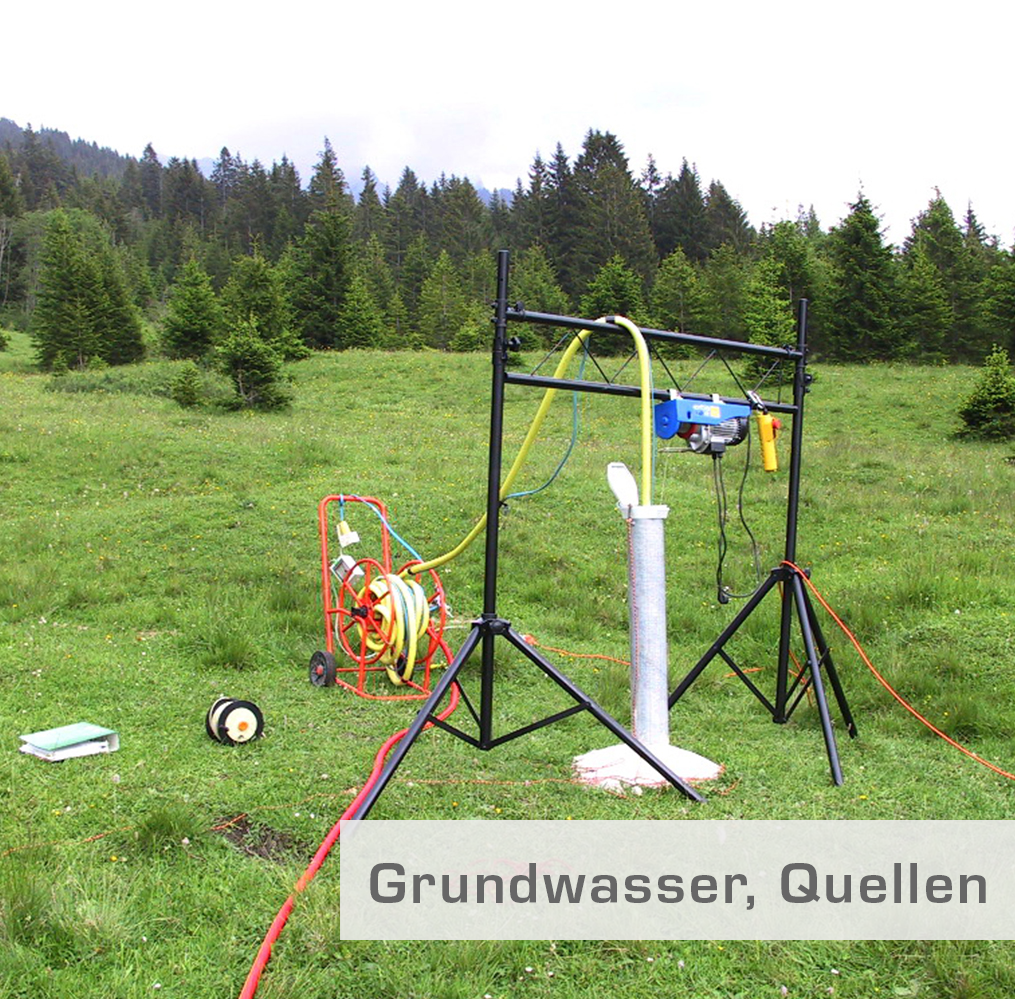
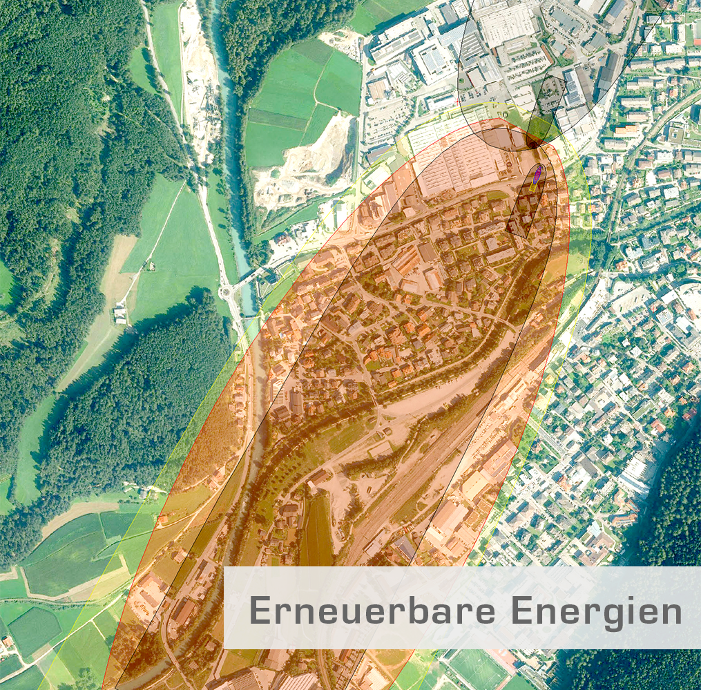
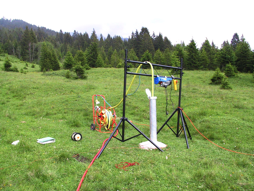
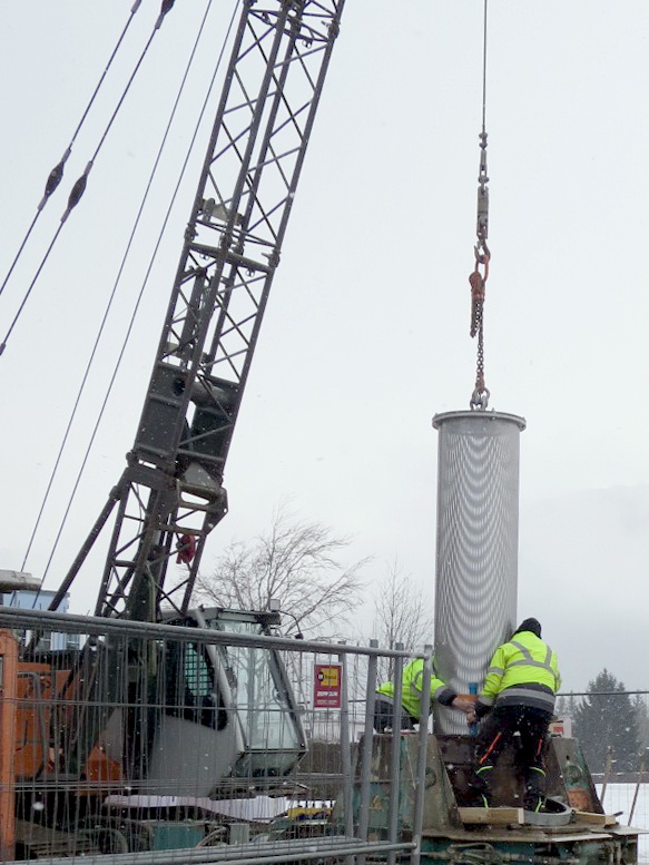
Well planning, pumping tests, thermal plume modeling and protection zones.
Gravel, sand, stone
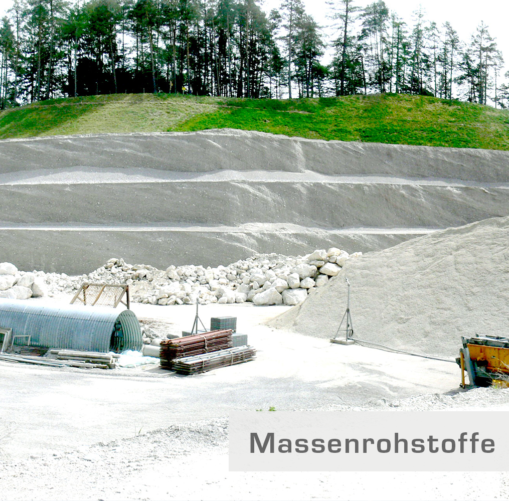
Bulk raw materials for concrete aggregates and hydraulic engineering stone: deposits modeling and reserve calculations.
Drinking water
Certified sampling and water management evidence documentation.
Unconsolidated rock/substrate
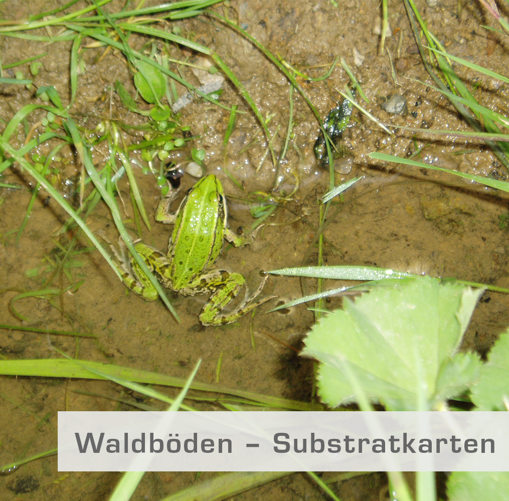
SSGS substrate maps for forest type classification and soil modeling.
Locations
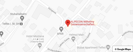
Telfes im Stubaital
ATHeadquarters / Technical office
- Materials
- Soil, rock, groundwater
- Geophysical/geotechnical measuring instruments
- EWS software (Huber Zürich) with AMASOND coaxial system
- EED software
- Modeling software EGON (Hydro IT, Innsbruck)
- ArcGIS
Service areas
Inside the production

Industries
Processes & technical limits
| Processes | Tolerance | Max. part | Weight | Lot size | Materials |
|---|---|---|---|---|---|
| Construction/engineering geology (subsoil investigation, subsoil report, foundation concept)Engineering | – | – | – | – | Soil, Rock, Groundwater |
| Geological-geotechnical and hydrogeological construction supervisionEngineering | – | – | – | – | Soil, Rock |
| Natural hazard investigations (rockfall, landslides, debris flows, landslips, gypsum karst,Engineering | – | – | – | – | Rock, Soil |
| Hydrogeology for wells (well calculation, pumping test, protection zones)Engineering | – | – | – | – | Groundwater |
| Thermal groundwater use / groundwater heat pump systems (feasibility analysis, modeling)Engineering | – | – | – | – | Groundwater |
| Geothermal energy / borehole heat exchanger system planning (BHE simulation, EED)Engineering | – | – | – | – | Soil, Rock, Groundwater |
| Small hydropower plants – site assessments, route optimization, construction supervisionEngineering | – | – | – | – | – |
| Engineering | – | – | – | – | Soil, Rock |
| Engineering | – | – | – | – | Gravel, Sand, Stone, Concrete aggregates, Hydraulic engineering stone |
| Testing | – | – | – | – | Soil, Groundwater, Water chemistry |
| Forest soils – substrate maps (SSGS classification, soil modeling, forest type classification)Engineering | – | – | – | – | Unconsolidated rock, Soil substrate |
| Drillings and soundings (subsoil investigation)Testing | – | – | – | – | Soil, Rock |
| Geophysical measurements (geoelectrics, refraction seismics, MASW seismics)Testing | – | – | – | – | Soil, Rock |
| Laboratory analyses and sampling (drinking water, groundwater, soil at contaminated sites –Testing | – | – | – | – | Drinking water, Groundwater, Soil |
| Drone flights and referenced photorealistic rock face analyses, laser scan evaluationsTesting | – | – | – | – | Rock |
| Monitoring, early warning systems for natural hazardsTesting | – | – | – | – | – |
| Geological-geotechnical site supervisionEngineering | – | – | – | – | – |
4 Anlagen & Maschinen
| Machine | Manufacturer / model | Quantity | Working area | Year built | Site |
|---|---|---|---|---|---|
| Measuring instruments (geophysical/geotechnical measuring instruments) | – | – | – | – | Telfes im Stubaital |
| EWS software (geothermal simulation) with AMASOND coaxial system | Huber Zürich EWS | – | – | – | Telfes im Stubaital |
| Modeling software EGON (thermal anomaly) | Hydro IT, Innsbruck EGON | – | – | – | Telfes im Stubaital |
| EED software (geothermal planning) | EED | – | – | – | Telfes im Stubaital |
Additional services
Reference customers
Quality
The quality standards are based on careful project execution, continuing education of staff (NDK and ZLG at ETH Zurich), quality assurance of measuring instruments, and certifications for drinking water as well as groundwater and soil sampling at contaminated sites.
| Evidence | Telfes im Stubaital |
|---|---|
| Certification for drinking water sampling | |
| Certification for groundwater/soil sampling (contaminated sites) |
History
- 1993
Supervision of Fissladwald quarry (since 1993).
- 1996
Large-spring hydrogeology St. Leonhard in Pitztal (State of Tyrol); start of the hydrogeology expert contribution for the Brenner railway EIA (until 1998).
- 1999
Supervision of Rinnertal gravel plant (since 1999); construction dewatering for the new Möbel Lutz building, Völs.
- 2000
Company name alpECON adopted; new building of Innsbruck railway station (ÖBB); snow-making system Rifflseebahnen Pitztal.
- 2003
Water management construction supervision Stans-Terfens tunnel (2003–2008, Brenner Eisenbahn GmbH).
- 2008
Start of substrate map production for the State of Tyrol (since 2008, 500,000 ha).
- 2013
New construction of LIDL store Reutte.
- 2017
New construction of Spieljoch top station (Fügen Bergbahn); rockfall events Tourismusverband Stubai.
- 2018
Substrate maps for the State of Styria (2018–2020, 800,000 ha); geothermal probe system WIFI Tirol.