Geodetic surveying office for as-built and industrial surveying, monitoring, laser scanning and track alignment.
ATRIGON Vermessungs PartGmbB Sauder & Schröder Ingenieure
13127 Berlin-PankowNew on Amplifa
About ATRIGON Vermessung
ATRIGON is a surveying company founded in Berlin in 1995 with ten employees at its Berlin-Pankow location. Its range of services covers as-built surveying, staking out, control surveying in structural engineering, geodetic evidence preservation with automatic deformation monitoring, drone flights and laser scanning, water body surveying, industrial surveying, track surveying and alignment, network measurement, and surveying in geotechnical/special foundation engineering. Equipment deployed includes total stations, precision levels, laser scanners, precision plumb instruments, inclination sensors, hose level measurement systems, crack monitors, drones and two survey boats. Laser scanning achieves an accuracy of two to three millimetres at distances up to 100 metres. Clients include private and commercial building owners, architects, public-sector clients, geotechnical/special foundation contractors as well as the Berlin public transport authority (BVG) and its subcontractors. ATRIGON operates in Berlin, nationwide and internationally.
- Site
- Berlin-Pankow
- Processes
- As-built surveying, Staking out, Control surveying in structural engineering (flatness, plumb, facade survey to DIN 18202), Evidence preservation & monitoring (monitoring surveying, automatic deformation monitoring,, Drone flights, Laser scanning (interior and exterior), Water body surveying (surveying of gauging stations in the DHHN2016 height system, bed depths and, Industrial surveying (as-built survey, staking out, positioning of machinery installations, control
- Materials
- Total station (tachymeter), Laser scanning, Drone flights, Precision level, Precision plumb instrument (zenith plummet), Inclination sensors, hose levels, crack monitors, Survey boats (2)
- Certificates
- DIN 18202 (control surveying), Drone licences (employees)
- Founded
- 1995
- Employees
- 10
- Industries
- Structural engineering, Civil engineering/special foundation engineering, Transport/rail, Industry/production lines, Water management/hydrology, Public-sector clients
- 01
Network measurement / reference point fields
- 02
Data acquisition in the field (total station, level, scanner, drone)
- 03
Network adjustment and data analysis
- 04
Processing digital/analogue (plans, cross-sections, 3D models)
- 05
Control surveying / monitoring / report preparation
Measuring Technology & Methods
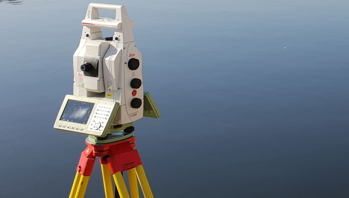
Total station (tachymeter)
Used for staking out, control surveying and monitoring of buildings and machinery installations.
Laser scanning
Produces 3D point clouds indoors and outdoors up to 100 m distance with 2–3 mm accuracy.
Drone flights
Creation of point clouds and facade surveys in the centimetre range.
Precision level
For height measurements in evidence preservation and monitoring.
Precision plumb instrument (zenith plummet)
Plumb measurements of up to 30 metres, among other things in track surveying.
Inclination sensors, hose levels, crack monitors
Sensor technology for automatic deformation monitoring with alerting via SMS/e-mail.
Survey boats (2)
Determination of bed depths and water body profiles.
Locations
Berlin
DEOffice and operations management (Berlin-Pankow)
- Total station (tachymeter)
- Precision level
- Laser scanner
- Precision plumb instrument (zenith plummet)
- Drone
- 2 survey boats
- Inclination sensors
- Hose level measurement systems
- Crack monitors
Services & Fields of Application
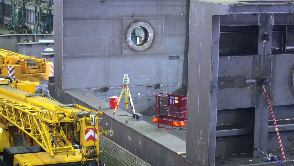
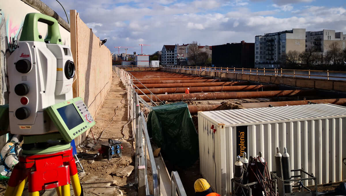
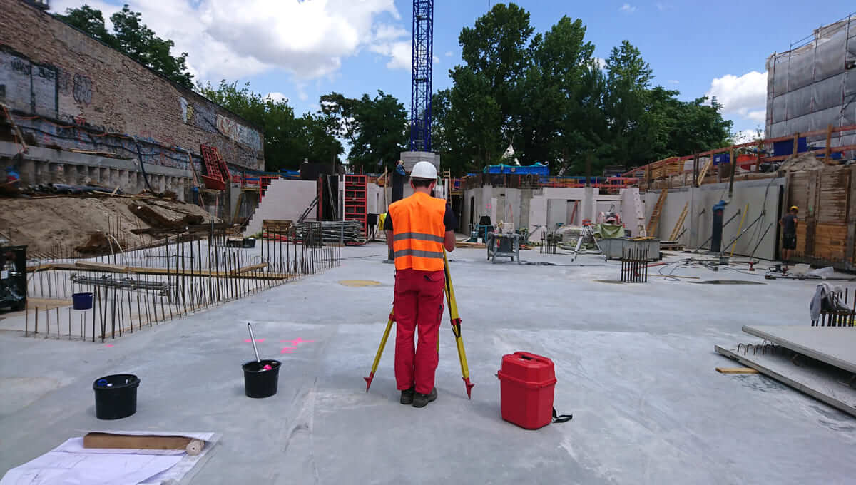
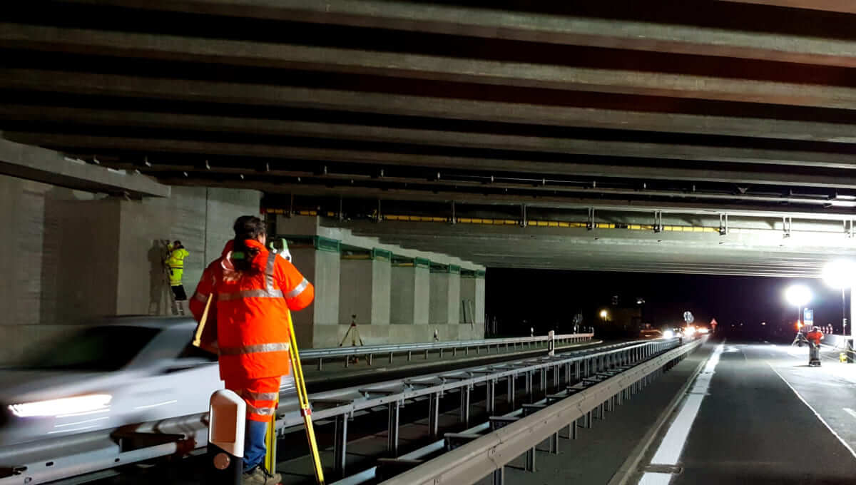
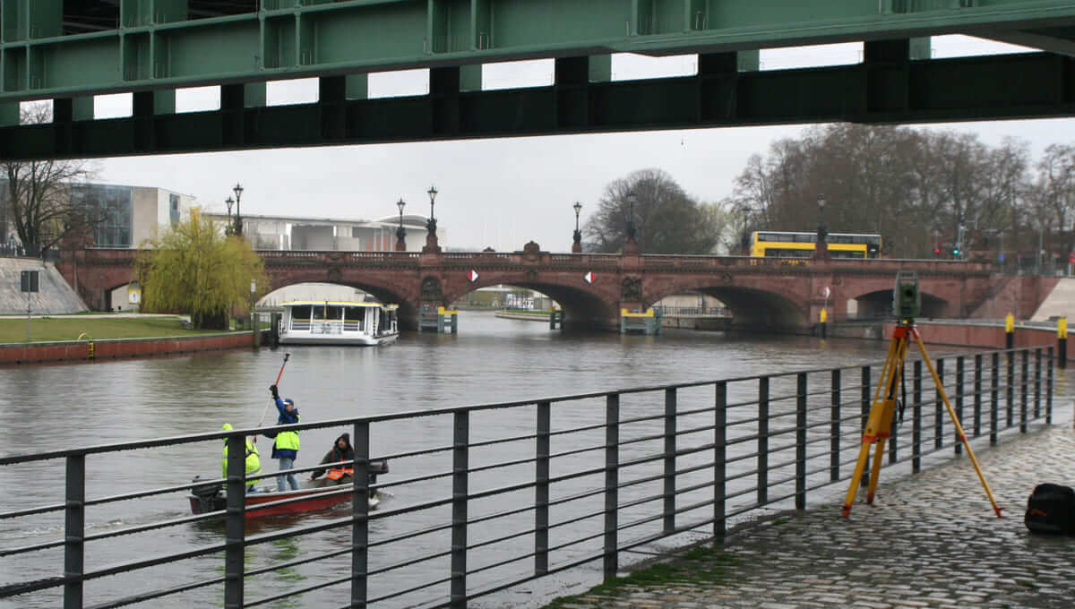
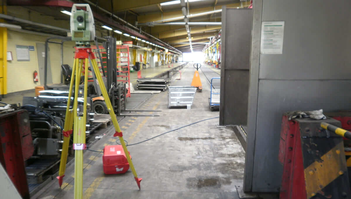
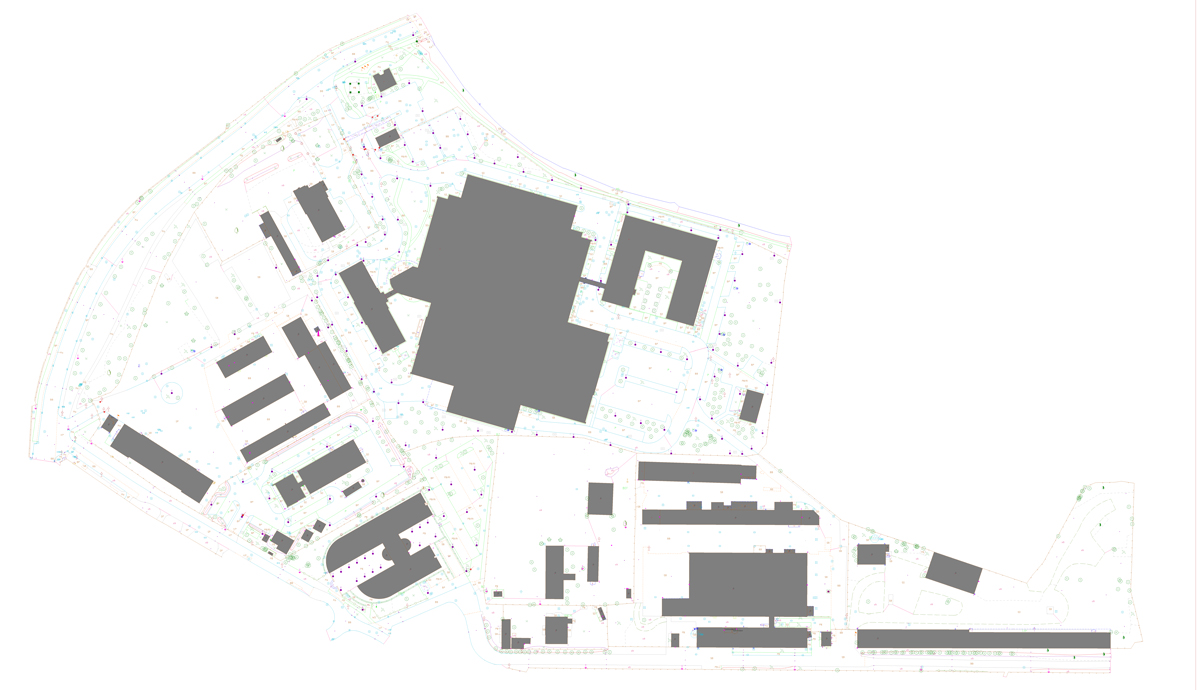
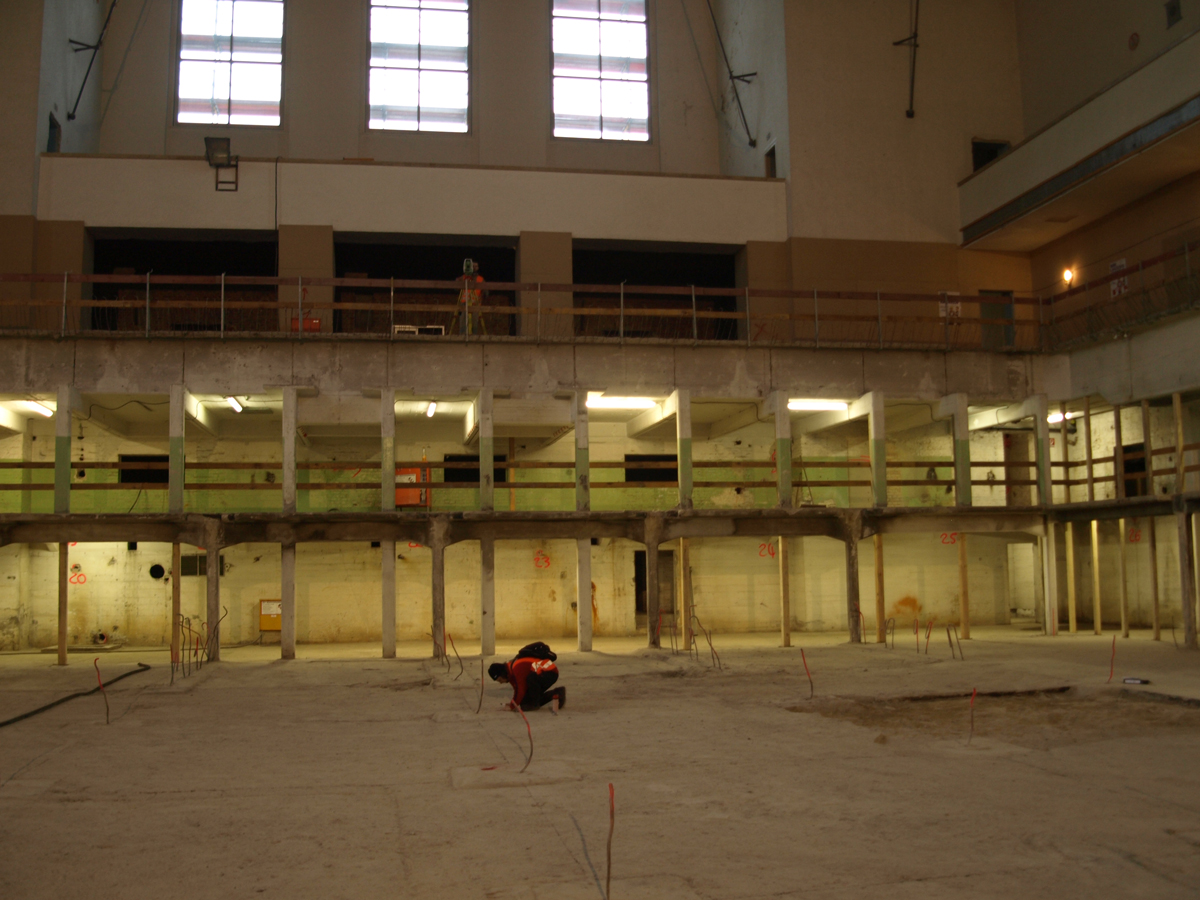
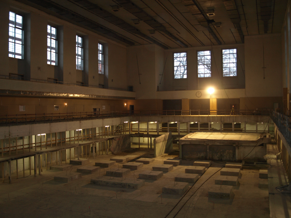
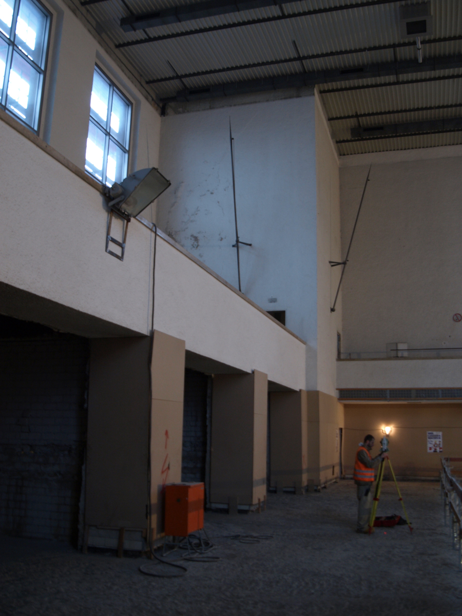
Inside the production
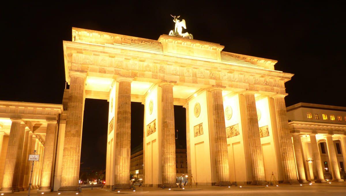
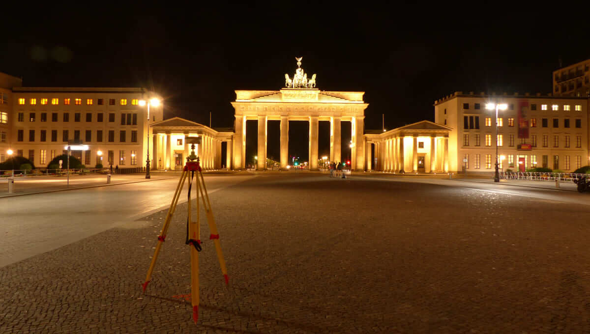
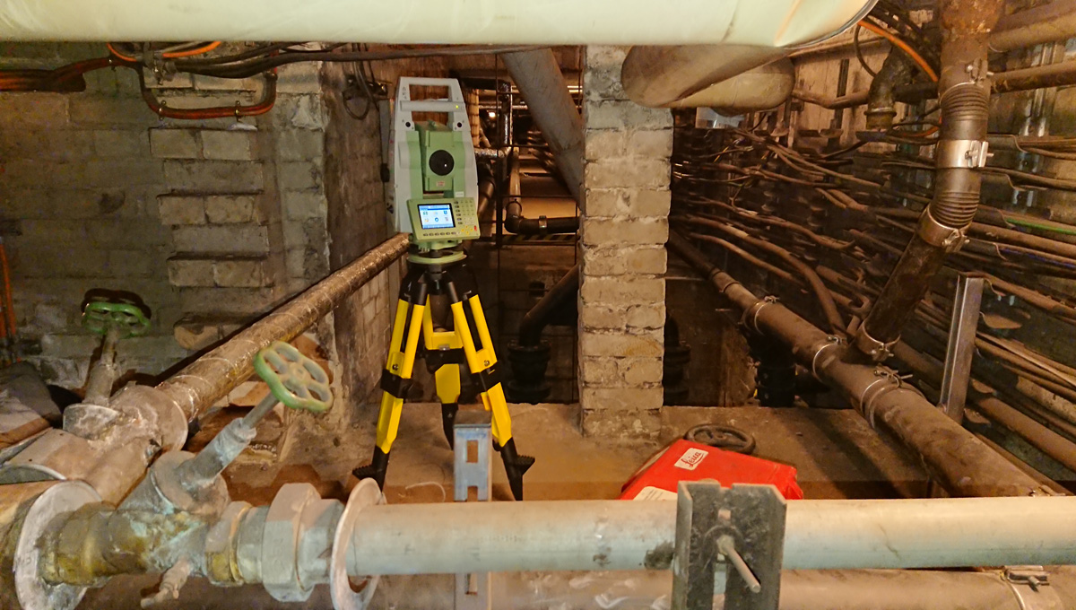
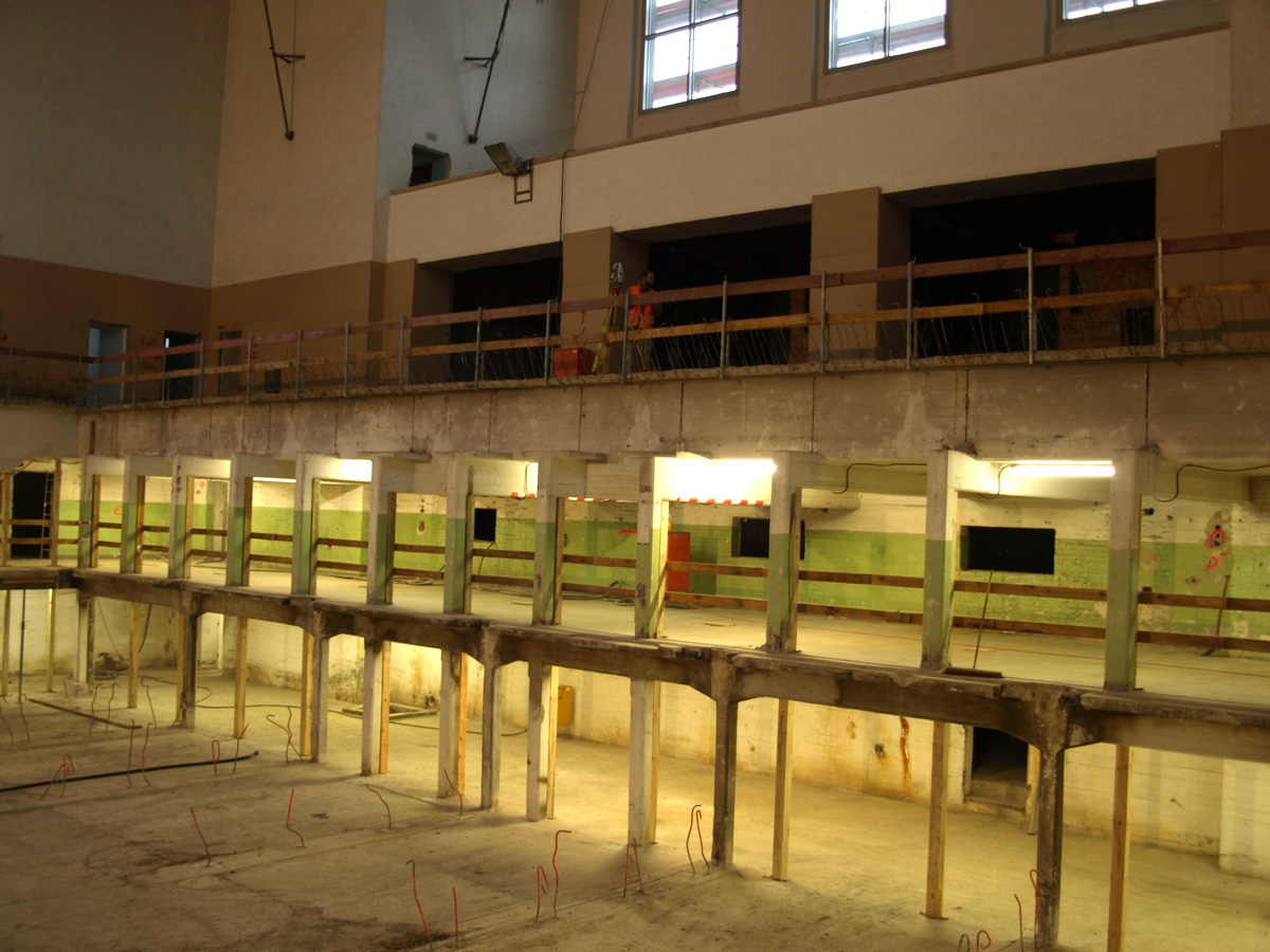
Industries
Processes & technical limits
| Processes | Tolerance | Max. part | Weight | Lot size | Materials |
|---|---|---|---|---|---|
| As-built surveyingSurveying | – | – | – | – | – |
| Staking outSurveying | – | – | – | – | – |
| Control surveying in structural engineering (flatness, plumb, facade survey to DIN 18202)Surveying | – | – | – | – | – |
| Evidence preservation & monitoring (monitoring surveying, automatic deformation monitoring,Surveying | – | – | – | – | – |
| Drone flightsSurveying | centimetre range | – | – | – | – |
| Laser scanning (interior and exterior)Surveying | 2 to 3 millimetres | – | – | – | – |
| Water body surveying (surveying of gauging stations in the DHHN2016 height system, bed depths andSurveying | – | – | – | – | – |
| Industrial surveying (as-built survey, staking out, positioning of machinery installations, controlSurveying | a few millimetres | – | – | – | – |
| Track surveying & alignment (reference point fields, plumb measurements up to 30 m, clearanceSurveying | – | – | – | – | – |
| Network measurement (establishing, densifying and maintaining position and/or height referenceSurveying | – | – | – | – | – |
| Surveying in special foundation engineering (inclinometer measurements, staking out of drillingSurveying | – | – | – | – | – |
11 Anlagen & Maschinen
| Machine | Manufacturer / model | Quantity | Working area | Year built | Site |
|---|---|---|---|---|---|
| Survey boat | – | 2 | – | – | Berlin |
| Drone (camera-equipped) | – | – | – | – | Berlin |
| Laser scanner | – | – | up to 100 metres distance | – | Berlin |
| Precision level | – | – | – | – | Berlin |
| Total station (tachymeter) | – | – | – | – | Berlin |
| Scanner | – | – | – | – | Berlin |
| Laser | – | – | – | – | Berlin |
| Hose level measurement system | – | – | – | – | Berlin |
| Inclination sensor | – | – | – | – | Berlin |
| Crack monitor | – | – | – | – | Berlin |
| Precision plumb instrument (zenith plummet) | – | – | plumb measurements up to 30 metres | – | Berlin |
Additional services
Reference customers
Quality & Accuracy
The measurements are recorded redundantly and condensed via network adjustment into a controlled homogeneous network. Control surveys are carried out in accordance with specified guidelines such as DIN 18202.
| Evidence | Berlin |
|---|---|
| DIN 18202 (control surveying) | |
| Drone licences (employees) |
History
- 1995
Foundation of the surveying company ATRIGON in Berlin in spring 1995 by three founders ("Tri" for the three founders and trigonometry, "gon" for the angular measure used by surveyors).