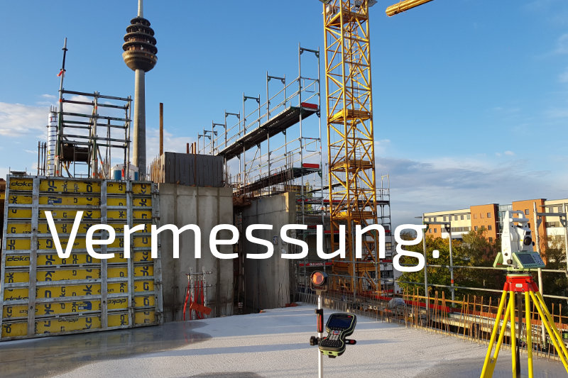
Engineering office for construction and surveying technology: digital surveying, setting-out, laser scanning, drone surveying and CAD preparation

BAUTECHNIK + VERMESSUNG FRANK LAUTERBACH GMBH
Nuremberg · RothNew on Amplifa
About the engineering office
BAUTECHNIK + VERMESSUNG FRANK LAUTERBACH GMBH is an engineering office for construction and surveying technology founded in 1996, headquartered in Nuremberg with a further location in Roth. The company digitally captures building and terrain data using electronic tachymeters, GPS systems, laser scanners and surveying drones. Its range of services includes architectural, engineering, design and construction surveying, construction setting-out including sight rails, property and as-built surveying, building documentation, tree registers, deformation-compliant as-built measurement as well as monitoring and laser scanning. From the measurement data, digital terrain models, quantity determinations according to REB, area determinations according to DIN and GIF, and final account calculations for structural and civil engineering according to DIN/VOB are produced. The data is prepared in CAD and delivered in common data formats, supplemented by GIS and ISYBAU inputs. Customers include architects, construction companies, property developers, private investors, engineering offices and public-sector clients; the services are also offered beyond the region. The team consists of technicians and engineers in construction and surveying as well as administrative staff; the company trains surveying technicians, construction draftsmen and office clerks.
- Site
- Nuremberg
- Processes
- Architectural surveying, Engineering surveying, Design surveying, Construction surveying, Construction setting-out, Sight rails, Property surveying, Area determination
- Materials
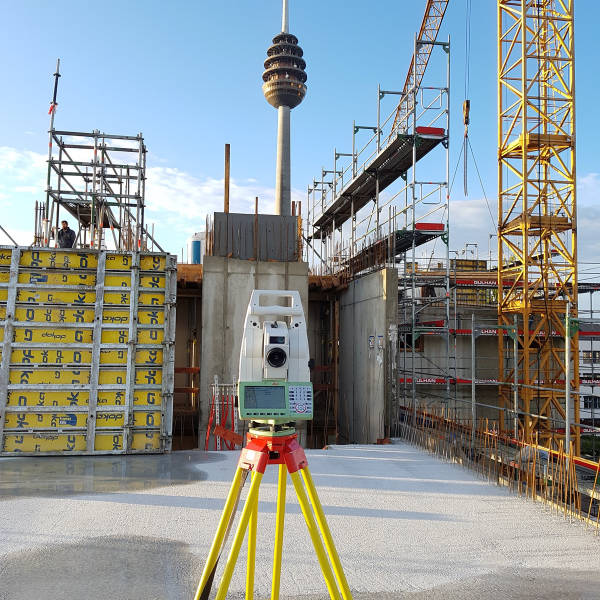
- Electronic tachymeter (Leica Geosystems), GPS systems (Leica Geosystems), Laser scanners, Surveying drone
- Certificates
- Technical/engineering qualification
- Founded
- 1996
- Industries
- Architecture, Construction industry, Property developers, Engineering offices, Public-sector clients
- 01
Order intake
- 02
On-site surveying (tachymeter, GPS, laser scanner, drone)
- 03
Digital data preparation
- 04
Calculation (DTM, quantities, areas)
- 05
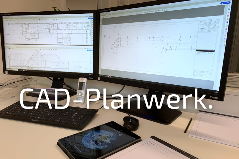
CAD preparation
- 06
Delivery as plan and report
Measurement methods and equipment
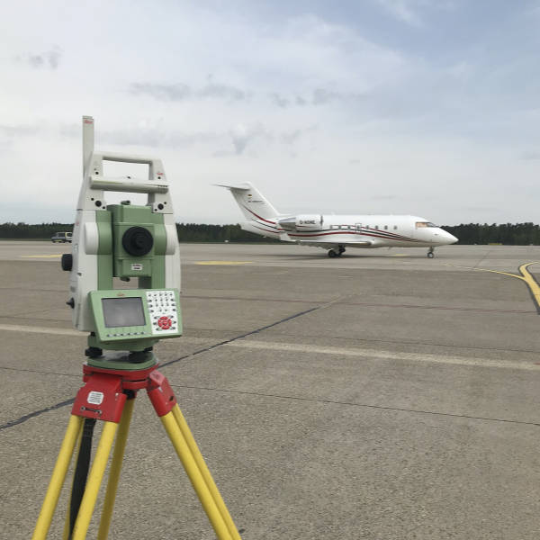
Electronic tachymeter (Leica Geosystems)
Digital precision measurement of buildings and terrain in all service phases.
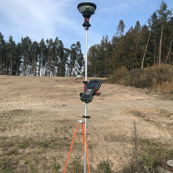
GPS systems (Leica Geosystems)
Satellite-based position and height determination, e.g. for GPS surveying of undisturbed terrain.
Laser scanners
Capture of point clouds for as-built recording, building documentation and monitoring.
Surveying drone
Airborne terrain and object capture for large-area projects.
Locations
Nuremberg
DEHeadquarters
- Electronic tachymeters (Leica)
- GPS systems (Leica)
- Laser scanners (Leica)
- Surveying drone
Roth
DELocation
Service areas
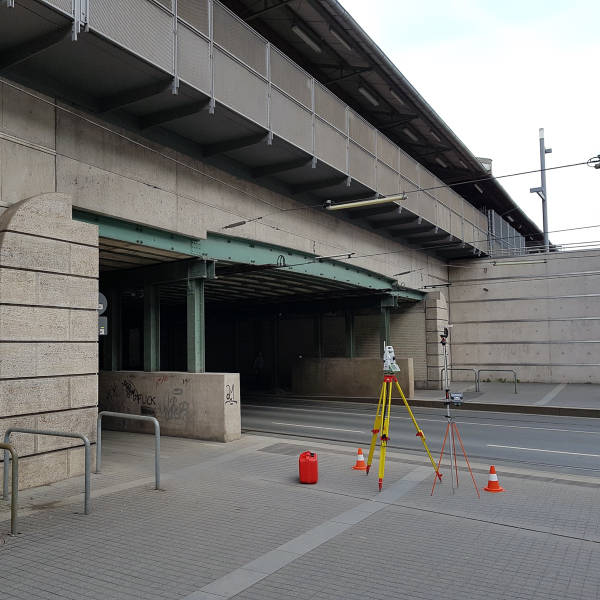
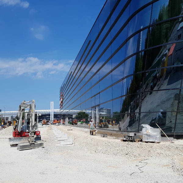
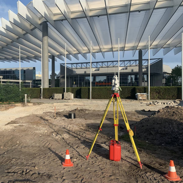
Inside the production
Industries
Processes & technical limits
| Processes | Tolerance | Max. part | Weight | Lot size | Materials |
|---|---|---|---|---|---|
| Architectural surveyingEngineering | – | – | – | – | – |
| Engineering surveyingEngineering | – | – | – | – | – |
| Design surveyingEngineering | – | – | – | – | – |
| Construction surveyingEngineering | – | – | – | – | – |
| Construction setting-outEngineering | – | – | – | – | – |
| Sight railsEngineering | – | – | – | – | – |
| Property surveyingEngineering | – | – | – | – | – |
| Area determinationEngineering | – | – | – | – | – |
| Area partitioningEngineering | – | – | – | – | – |
| Paper surveyingEngineering | – | – | – | – | – |
| As-built surveyingEngineering | – | – | – | – | – |
| Pipeline documentationEngineering | – | – | – | – | – |
| Building documentationEngineering | – | – | – | – | – |
| Terrain surveyingEngineering | – | – | – | – | – |
| Tree registerEngineering | – | – | – | – | – |
| Deformation-compliant as-built measurementEngineering | – | – | – | – | – |
| Monitoring / laser scanningTesting | – | – | – | – | – |
| Drone surveyingEngineering | – | – | – | – | – |
| Digital terrain models (DTM)Engineering | – | – | – | – | – |
| Quantity determinations according to REBEngineering | – | – | – | – | – |
| Area determinations according to DIN and GIFEngineering | – | – | – | – | – |
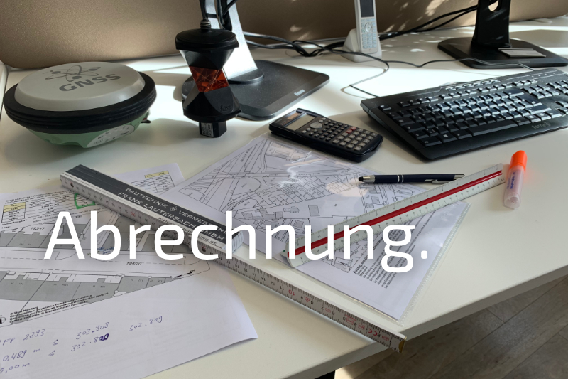
| Final accounts, structural and civil engineering, according to as-built measurement and planEngineering | – | – | – | – | – |
| CAD digitizationEngineering | – | – | – | – | – |
| Takeover of analog drawing documentsEngineering | – | – | – | – | – |
| GIS and ISYBAU inputsEngineering | – | – | – | – | – |
4 Anlagen & Maschinen
| Machine | Manufacturer / model | Quantity | Working area | Year built | Site |
|---|---|---|---|---|---|
| Electronic tachymeter | Leica Geosystems | – | – | – | – |
| GPS systems | Leica Geosystems | – | – | – | – |
| Laser scanners | Leica Geosystems | – | – | – | – |
| Surveying drone | – | – | – | – | – |
Additional services
Reference customers
Quality
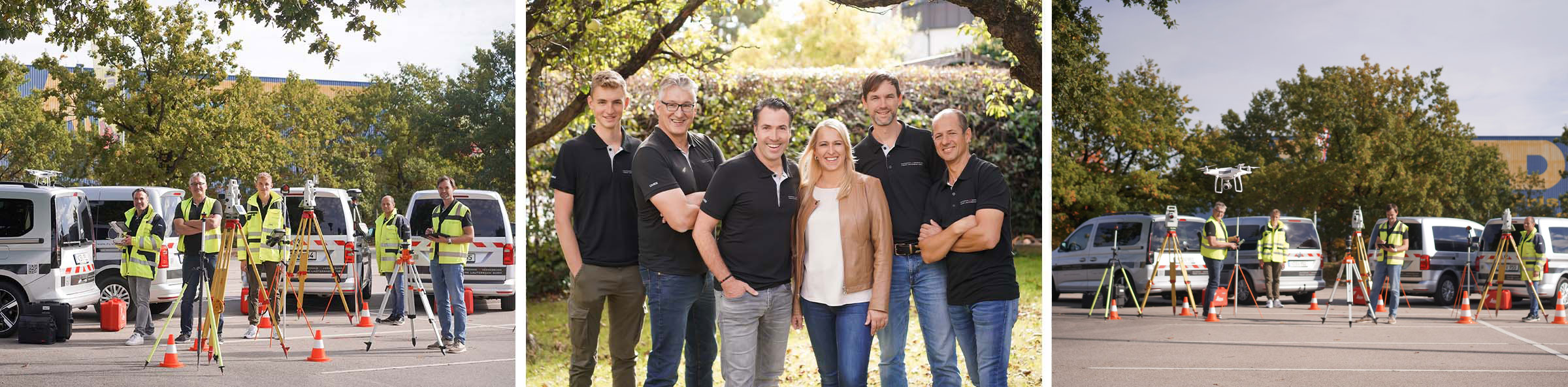
The project team consists exclusively of technicians and engineers in construction and surveying; measurements are carried out with professional equipment from Leica Geosystems.
| Evidence | Nuremberg | Roth |
|---|---|---|
| Technical/engineering qualification |
History
- 1996
Founding of the engineering office for construction and surveying technology