Operator of a BVLOS drone platform for inspection and monitoring of pipelines, power lines and critical infrastructure

Beagle Systems GmbH
Hamburg · GermanyNew on Amplifa
About Beagle Systems
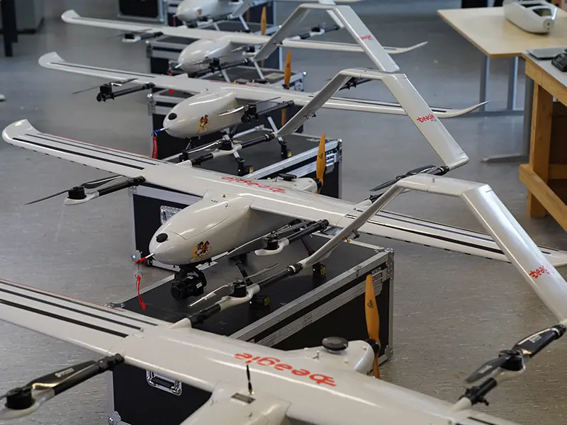
Beagle Systems is a Hamburg-based company offering remote-sensing and analytics-based monitoring solutions for pipelines, energy utilities and infrastructure operators. With a fleet of 25 long-range drones (BVLOS – Beyond Visual Line of Sight, up to 200 km range, approx. 120 km/h, up to 1,000 km inspection per day and drone) as well as manned light aircraft and satellite data, the company captures high-resolution aerial imagery (up to 4 mm/px GSD), LiDAR point clouds, thermography and multispectral data. The AI-supported analysis – change detection, anomaly detection, vegetation analysis – is performed in Germany, with results delivered via a secure web GIS platform with API integration. The service portfolio includes right-of-way inspections, monitoring of critical infrastructure (KRITIS), construction site monitoring and methane leak detection as a service in accordance with EU-LDAR Type 1 and 2 (17 g/h and 5 g/h). Beagle Systems is authorised under EU Regulations 2019/945 and 2019/947 for BVLOS flights without on-site personnel. Customers include, among others, Hanse Gas, for which helicopter inspection of 1,400 km high-pressure pipelines has been replaced since April 2024 by monthly drone and satellite data.
- Site
- Hamburg
- Processes
- Right-of-Way Inspections (protective strip inspection), Critical Infrastructure Monitoring (KRITIS monitoring), Drone-Based Construction Site Monitoring (construction site monitoring), Methane Leak Detection as a Service (EU LDAR Type 1 & 2, 17 g/h and 5 g/h), BVLOS Drone Inspection (flights beyond visual line of sight, approval under EU Regulation 2019/945, LiDAR Point Cloud Capture (colourised point cloud, up to 340 pts/sqm), TDLAS Methane Detection (5 ppm*m resolution, 60 m sensing range), Thermographic Infrared Imaging (IR 640 x 512)
- Materials
- Long-Range Drone (VTOL, BVLOS), 61MP Camera (E-Mount, Gimbal), LiDAR Sensor, TDLAS Methane Detection Sensor, Multispectral Camera (RGB/NDVI), Thermal Camera (IR 640 x 512)
- Certificates
- BVLOS Operating Approval pursuant to EU Regulations 2019/945 and 2019/947, BVLOS approval (EU 2019/945 & 2019/947), EU-LDAR Type 1 & 2 compliant methane leak detection, Data processing in Germany
- Industries
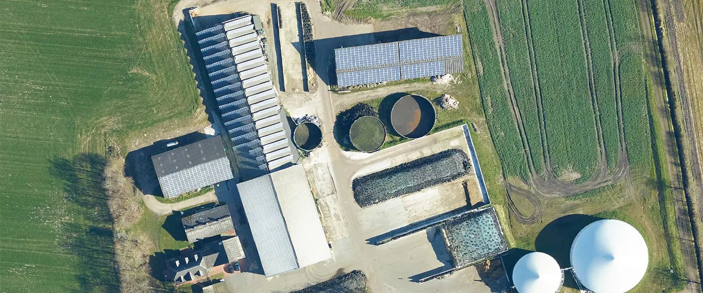
- Energy infrastructure, Gas pipelines/pipeline corridors, Power lines, Railway infrastructure, Construction, Oil/gas (emissions monitoring)
- 01
Flight Planning & Approvals
- 02
Data Capture via Drone, Aircraft & Satellite
- 03
AI-Supported Data Analysis (in Germany)
- 04
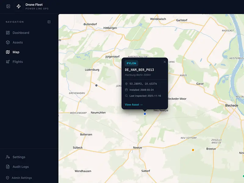
Delivery via Web GIS Platform & API
Technologies & Sensors
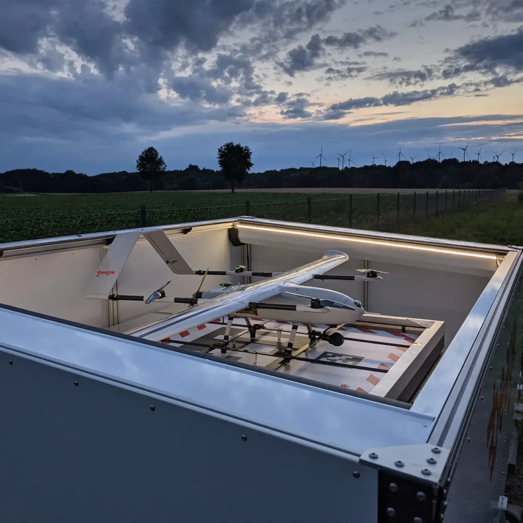
Long-Range Drone (VTOL, BVLOS)
In-house long-range UAV for inspections up to 200 km distance at flight altitudes of 90–120 m.
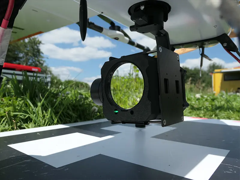
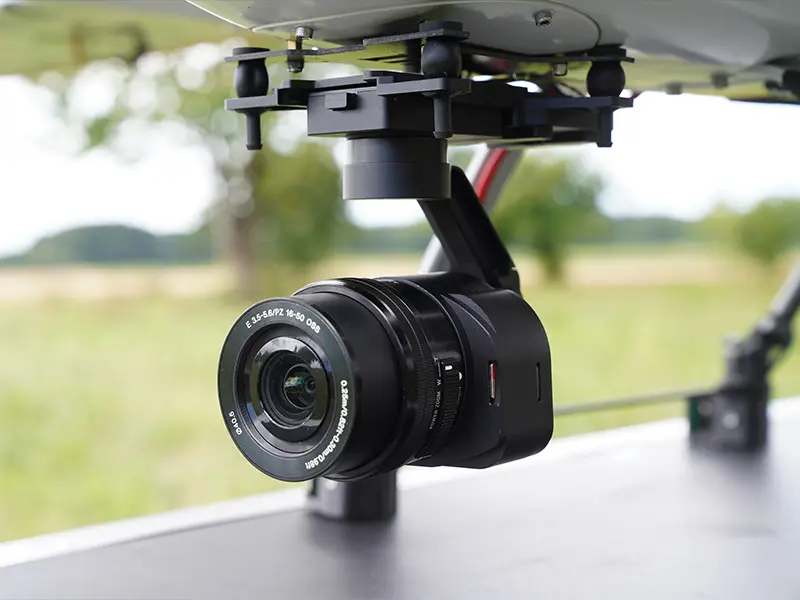
61MP Camera (E-Mount, Gimbal)
High-resolution RGB aerial surveys up to 4 mm/px ground resolution.
LiDAR Sensor
Coloured point clouds with up to 340 points/m² for terrain and vegetation analysis.
TDLAS Methane Detection Sensor
Methane leak detection with 5 ppm*m resolution and 60 m sensing range in accordance with EU-LDAR.
Multispectral Camera (RGB/NDVI)
Vegetation and condition analysis along rights-of-way.
Thermal Camera (IR 640 x 512)
Thermographic inspection of systems and pipelines.
Locations
Hamburg
DEDevelopment, flight operations and data analysis
- 25x Beagle M long-range drones
- Sony ILX 61MP camera
- Yellowscan Mapper LiDAR
- Beagle T TDLAS sensor
- Sentera Double 4K
- Gremsy Lynx thermal camera
- Light aircraft (manned aircraft)
Service Areas
Inside the production
Industries
Processes & technical limits
| Processes | Tolerance | Max. part | Weight | Lot size | Materials |
|---|---|---|---|---|---|
| Right-of-Way Inspections (protective strip inspection)Testing | – | – | – | – | – |
| Critical Infrastructure Monitoring (KRITIS monitoring)Testing | – | – | – | – | – |
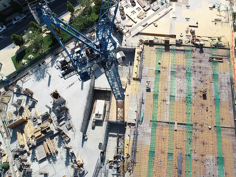
| Drone-Based Construction Site Monitoring (construction site monitoring)Testing | – | – | – | – | – |
| Methane Leak Detection as a Service (EU LDAR Type 1 & 2, 17 g/h and 5 g/h)Testing | – | – | – | – | – |
| BVLOS Drone Inspection (flights beyond visual line of sight, approval under EU Regulation 2019/945Testing | – | – | – | – | – |
| LiDAR Point Cloud Capture (colourised point cloud, up to 340 pts/sqm)Testing | – | – | – | – | – |
| TDLAS Methane Detection (5 ppm*m resolution, 60 m sensing range)Testing | – | – | – | – | – |
| Thermographic Infrared Imaging (IR 640 x 512)Testing | – | – | – | – | – |
| NDVI Vegetation Analysis (multispectral camera)Testing | – | – | – | – | – |
| Satellite Data AnalysisTesting | – | – | – | – | – |
| AI-Based Data Analysis and Change Detection (processing in Germany, delivery viaEngineering | – | – | – | – | – |
7 Anlagen & Maschinen
| Machine | Manufacturer / model | Quantity | Working area | Year built | Site |
|---|---|---|---|---|---|
| Long-Range Drone (BVLOS) | Beagle Systems Beagle M Drone | 25 | Range up to 200 km, speed approx. 120 km/h, flight altitude 90–120 m, up to 1,000 km inspection per | – | – |
| Camera Sensor (61MP, E-Mount, gimbal-stabilised) | Sony ILX Series | – | – | – | – |
| LiDAR Sensor | Yellowscan Mapper | – | – | – | – |
| TDLAS Methane Detection Sensor | Beagle Systems T series | – | 5 ppm*m resolution, 60 m sensing range | – | – |
| Multipicture Camera (RGB 12.3MP, NDVI) | Sentera Double 4K | – | – | – | – |
| Thermal Camera (RGB 4K, IR 640 x 512) | Gremsy Lynx | – | – | – | – |
| Light aircraft (manned aircraft) | – | – | – | – | – |
Additional services
Reference customers
Authorisations & Data Protection
Beagle Systems is authorised under EU Regulations 2019/945 and 2019/947 to internally approve and conduct BVLOS flights without on-site personnel. All data is processed in Germany and delivered via a platform hosted in Germany.
| Evidence | Hamburg |
|---|---|
| BVLOS approval (EU 2019/945 & 2019/947) | |
| EU-LDAR Type 1 & 2 compliant methane leak detection | |
| Data processing in Germany |
History
- 2024
From April 2024, Beagle replaces helicopter inspection of 1,400 km high-pressure pipelines at Hanse Gas with monthly drone and satellite data.
- 2025
35,539 km of critical infrastructure inspected and 25 long-range drones in operation.