Drone service provider for surveying, inspection and digital 3D reconstruction

dronexperts
New on Amplifa
About dronexperts
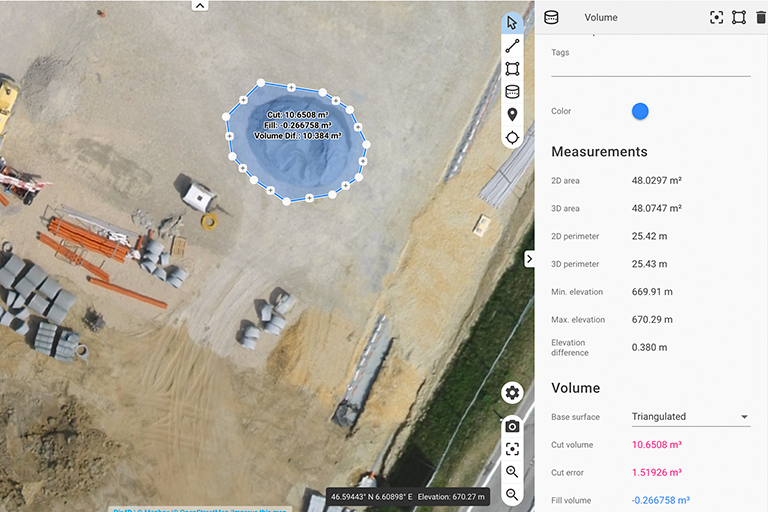
dronexperts is a drone service provider and digital transformation consultant that supports customers with inspection, surveying, construction site documentation and aerial imaging tasks – according to its own statements worldwide. The services include drone inspections (visual inspection and damage detection on bridges, roofs, radio masts, wind turbines, industrial plants and solar installations), drone surveying with orthophotos and 3D terrain models as well as LIDAR analysis, forestry and agriculture applications (NDVI, selective fertilization maps, crop protection) and detailed 3D reconstructions as digital twins for BIM, construction site documentation and heritage conservation. Further offerings include search & rescue, logistics and aerial photography. According to its own statements, the pilots are DEKRA-certified; analysis is performed among other things with pix4d and DJI Terra; the company is a certified pix4d user. In addition, dronexperts develops business models, special hardware and software developments, apps and IT integrations (ERP, SAP, GIS) and offers consulting and training on machine learning, AI image recognition and pix4d.
- Processes
- Drone surveying (orthophotos, 3D terrain models), Drone inspection (visual inspection, damage detection of buildings, bridges, roofs, radio masts,, 3D reconstruction / digital twin (BIM, construction site documentation, heritage conservation), Forestry & agriculture: NDVI, selective fertilization maps, crop protection, Drone consulting, training (machine learning, AI image recognition, pix4d training), IT integration, Search & rescue, logistics, aerial photography, construction site documentation, Drone inspection (visual inspection, damage detection: bridges, roofs, radio masts, wind turbines), Drone surveying (orthophotos, 3D terrain models, LIDAR)
- Industries
- Surveying, Construction companies, Forestry & Agriculture, Industrial plants, Wind power, Solar
- 01
Consulting and concept development
- 02
Aerial imaging with copters and camera systems
- 03
Data analysis (pix4d, DJI Terra, LIDAR)
- 04
IT integration (ERP, SAP, GIS) / handover to customer
Locations
dronexperts
DeutIndustries
Processes & technical limits
| Processes | Tolerance | Max. part | Weight | Lot size | Materials |
|---|---|---|---|---|---|
| Drone surveying (orthophotos, 3D terrain models)Inspection | – | – | – | – | – |
| Drone inspection (visual inspection, damage detection of buildings, bridges, roofs, radio masts,Inspection | – | – | – | – | – |
| 3D reconstruction / digital twin (BIM, construction site documentation, heritage conservation)Engineering | – | – | – | – | – |
| Forestry & agriculture: NDVI, selective fertilization maps, crop protectionInspection | – | – | – | – | – |
| Drone consulting, training (machine learning, AI image recognition, pix4d training), IT integrationEngineering | – | – | – | – | – |
| Search & rescue, logistics, aerial photography, construction site documentationOther | – | – | – | – | – |
2 Anlagen & Maschinen
| Machine | Manufacturer / model | Quantity | Working area | Year built | Site |
|---|---|---|---|---|---|
| Drones/copters and camera systems | DJI | – | – | – | – |
| LIDAR sensor technology | – | – | – | – | – |
Additional services
History
- 2017
Website first published on 2017-01-02 (JSON-LD datePublished)