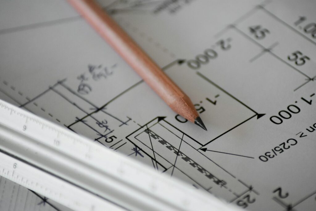
Publicly appointed surveying engineers for cadastral, construction and engineering surveying in Berlin.

Eurovermessung
Berlin-PankowNew on Amplifa
About Eurovermessung
Eurovermessung is a Berlin surveying office based in Berlin-Pankow, operating as publicly appointed surveying engineers (ÖbVI) and consulting engineers. In 2024, Eurovermessung, Vermessungsbüro Jan Nagel and Zoll-Vermessung merged, combining decades of experience in construction and surveying. The range of services includes cadastral surveying, boundary determination and boundary re-establishment, land partitioning and partition plans, building stakeout as well as construction surveying with setting-out and control surveys. In addition, the company offers engineering surveying for rail, water, road, bridge and structural construction, structural monitoring, digital terrain models with volume calculation, geoinformation and real estate cadastre (GIS), 3D scanning as well as project development and feasibility studies. Technically, total stations, satellite-based methods (GNSS) and 3D scanners are used. Customers include private clients, construction companies and property developers, architects and engineering offices, real estate developers and investors, farmers and foresters as well as utility companies. The team consists of 10 engineers, 18 technicians, 3 trainees and 7 other staff and students.
- Site
- Berlin-Pankow
- Processes
- Cadastral surveying (boundary determinations, land partitioning, building stakeouts), Boundary re-establishments, Partition plans / demarcation, Engineering surveying (rail, water and road construction; road, bridge and structural engineering), Construction surveying (setting-out, control surveys, building surveys, coarse and fine setting-out), Structural monitoring, Digital terrain models and volume calculation (earth volumes), Geoinformation and cadastre (GIS, real estate cadastre)
- Materials
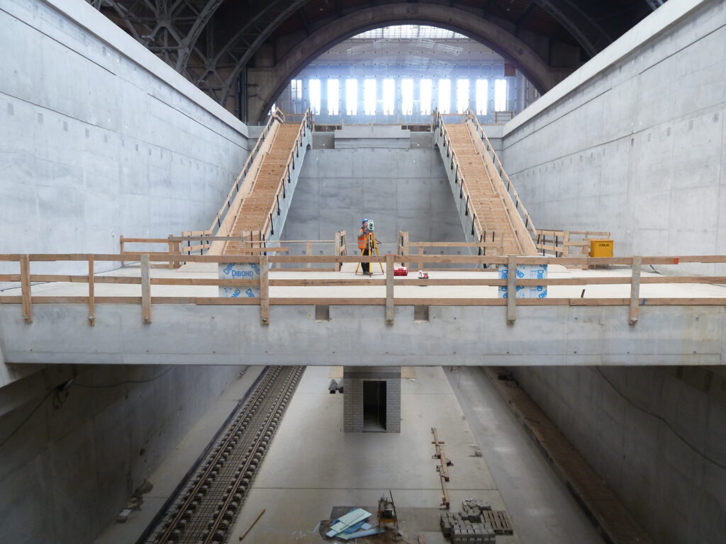
- Total stations, Satellite-based surveying methods, 3D scan
- Certificates
- State supervision (ÖbVI, Berlin Senate Department), Membership of the Chamber of Architects Berlin, ISO 9001
- Founded
- 1980
- Employees
- 38
- Industries
- Construction, Real estate development, Architecture, Engineering offices, Agriculture and forestry, Utility companies
- 01
Consultation and project analysis
- 02
Planning and measurement (total station, GNSS, 3D scan)
- 03
Field surveying and setting-out
- 04
Evaluation and documentation
- 05
Entry in the real estate cadastre or acceptance
Technologies and Methods
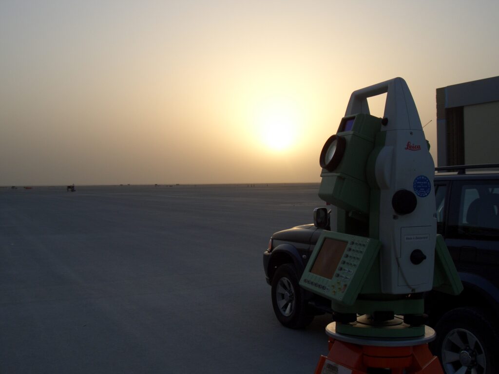
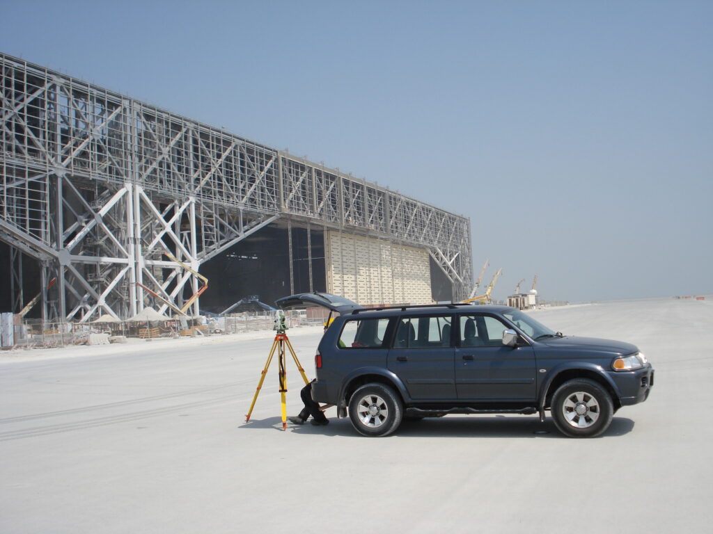
Total stations
Precise on-site capture of points, boundaries and structures.
Satellite-based surveying methods
Efficient position determination on large construction sites and areas.
3D scan
Contactless capture of buildings and structures as a point cloud.
Location
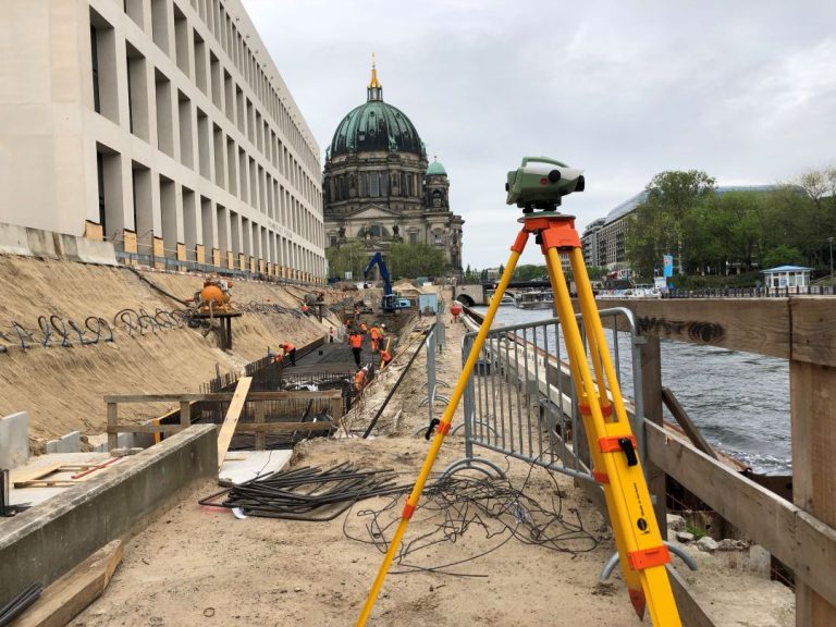
Berlin-Pankow
DEHead office with offices and equipment for field and office surveying
- Materials
- Total stations, GNSS, 3D scanners
- Total stations
- 3D scanners
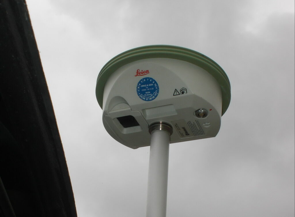
- GNSS receivers
Services
Inside the production


Industries
Processes & technical limits
| Processes | Tolerance | Max. part | Weight | Lot size | Materials |
|---|---|---|---|---|---|
| Cadastral surveying (boundary determinations, land partitioning, building stakeouts)Engineering | – | – | – | – | – |
| Boundary re-establishmentsEngineering | – | – | – | – | – |
| Partition plans / demarcationEngineering | – | – | – | – | – |
| Engineering surveying (rail, water and road construction; road, bridge and structural engineering)Engineering | – | – | – | – | – |
| Construction surveying (setting-out, control surveys, building surveys, coarse and fine setting-out)Engineering | – | – | – | – | – |
| Structural monitoringTesting | – | – | – | – | – |
| Digital terrain models and volume calculation (earth volumes)Engineering | – | – | – | – | – |
| Geoinformation and cadastre (GIS, real estate cadastre)Engineering | – | – | – | – | – |
| 3D scanTesting | – | – | – | – | – |
3 Anlagen & Maschinen
| Machine | Manufacturer / model | Quantity | Working area | Year built | Site |
|---|---|---|---|---|---|
| Total station | – | – | – | – | Berlin-Pankow |
| 3D scanner | – | – | – | – | Berlin-Pankow |
| Satellite-based surveying methods (GNSS) | – | – | – | – | Berlin-Pankow |
Additional services
Quality and Supervision
ÖbVI activities are subject to state supervision by the Berlin Senate Department for Urban Development and the Environment and to the professional code for publicly appointed surveying engineers. Results are documented and certified under strict control.
| Evidence | Berlin-Pankow |
|---|---|
| State supervision (ÖbVI, Berlin Senate Department) | |
| Membership of the Chamber of Architects Berlin | |
| ISO 9001 |
History
- 1950
Founding of Zoll-Vermessung by ÖbVI Dipl.-Ing. Helmut Zoll
- 1980
Founding of the surveying office by Dipl.-Ing. Joachim Wanjura
- 2005
Renaming to Eurovermessung
- 2006
Stefan Kaluza joined the company
- 2013
Jan Nagel became a publicly appointed surveying engineer
- 2023
Resolution on the merger of the three companies
- 2024
Merger of Eurovermessung, Vermessungsbüro Jan Nagel and Zoll-Vermessung; joint site in Berlin-Pankow