
Surveying office for construction, industrial and architectural surveying with 3D laser scanning and drone technology

Geo3D Vermessung
Ilmtal-Weinstraße (OT Kromsdorf)New on Amplifa
About us
Geo3D Vermessung is a surveying office with its registered office in Ilmtal-Weinstraße (OT Kromsdorf) near Weimar, active since 2008 in architectural, industrial and construction surveying. Its range of services includes construction and engineering surveying (staking out, verification, construction supervision, design surveying), industrial surveying of machinery, crane runways and installations, as well as building surveying with floor plans, sections, elevations and site and elevation plans. Using 3D laser scanning and camera drones, the company produces as-built surveys, digital terrain models, earthwork volume determinations according to REB, control point determinations, IFC models and high-resolution orthophotos for damage mapping. Reference projects include, among others, the Bad Lauchstädt substation, the BAB A38 motorway, the German National Theatre Weimar, Erfurt Cathedral and the Zeiss Hightech Center Jena. Clients include public building authorities, construction companies, engineering firms and energy utilities.
- Site
- Ilmtal-Weinstraße, OT Kromsdorf
- Processes
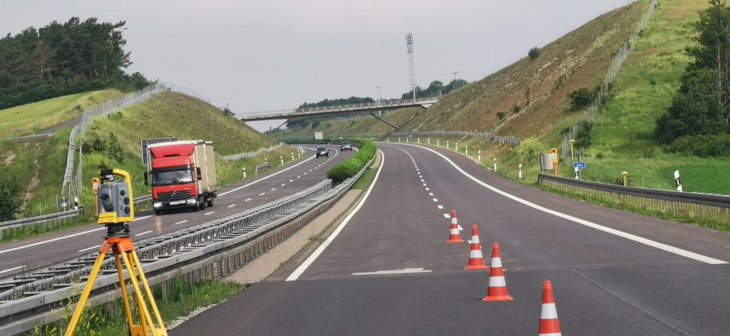
- Construction and engineering surveying (staking out, verification, construction supervision,, Industrial surveying (machinery, crane runways, industrial installations, millimetre-accurate), Architectural surveying (building surveying, as-built survey, floor plans, building sections,, 3D laser scanning (e.g. pump chamber, auditorium, staircases; delivery as IFC model), Control point determination for 3D scan, Height measurements, Production of high-resolution orthophotos (camera drone, 3D laser scanner) for damage mapping, Production of road as-built plans (reference network with fixed points, as-built survey
- Founded
- 2008
- Industries
- Construction, Industry/Plant Engineering, Architecture/Monument Preservation, Road Construction, Energy Networks/Hydropower
- 01
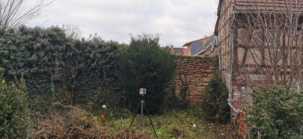
On-site capture service (laser scanner, drone, tachymeter)
- 02
Data evaluation
- 03
Preparation as plan, terrain model or IFC model
- 04
Handover to client
Locations
Ilmtal-Weinstraße (OT Kromsdorf)
DERegistered office
- Materials
- 3D laser scanning, drone photogrammetry
- 3D laser scanner
- Camera drone
Services
Inside the production
Industries
Processes & technical limits
| Processes | Tolerance | Max. part | Weight | Lot size | Materials |
|---|---|---|---|---|---|
| Construction and engineering surveying (staking out, verification, construction supervision,Surveying | – | – | – | – | – |
| Industrial surveying (machinery, crane runways, industrial installations, millimetre-accurate)Surveying | millimetre-accurate | – | – | – | – |
| Architectural surveying (building surveying, as-built survey, floor plans, building sections,Surveying | – | – | – | – | – |
| 3D laser scanning (e.g. pump chamber, auditorium, staircases; delivery as IFC model)Testing | – | – | – | – | – |
| Control point determination for 3D scanSurveying | – | – | – | – | – |
| Height measurementsSurveying | – | – | – | – | – |
| Production of high-resolution orthophotos (camera drone, 3D laser scanner) for damage mappingTesting | – | – | – | – | – |
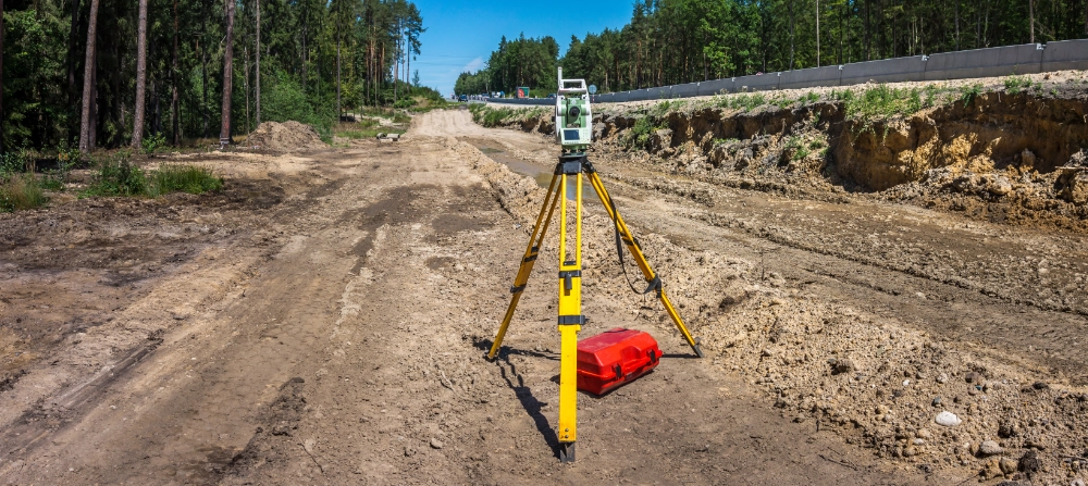
| Production of road as-built plans (reference network with fixed points, as-built surveySurveying | – | 14 km (BAB A38 project) | – | – | – |
| Design surveyingSurveying | – | – | – | – | – |
2 Anlagen & Maschinen
| Machine | Manufacturer / model | Quantity | Working area | Year built | Site |
|---|---|---|---|---|---|
| 3D laser scanner | – | – | – | – | Ilmtal-Weinstraße (OT Kromsdorf) |
| Camera drone | – | – | – | – | Ilmtal-Weinstraße (OT Kromsdorf) |
Additional services
Reference customers
History
- 2008
Founding of the surveying office; active in architectural, industrial and construction surveying ever since
- 2018
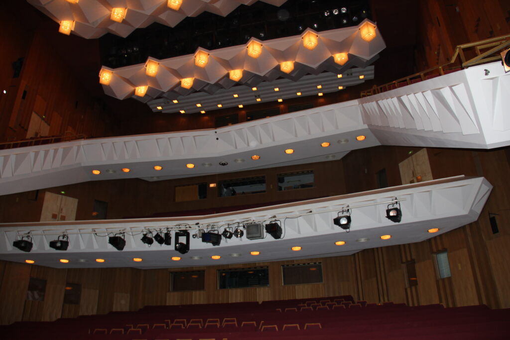
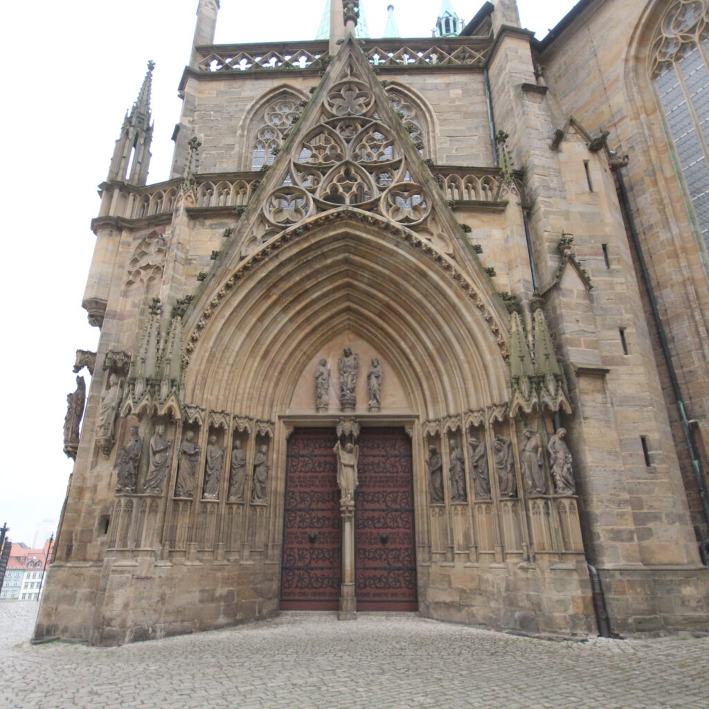
3D laser scanning of the auditorium of the German National Theatre Weimar and orthophoto of the cathedral portals of Erfurt
- 2018
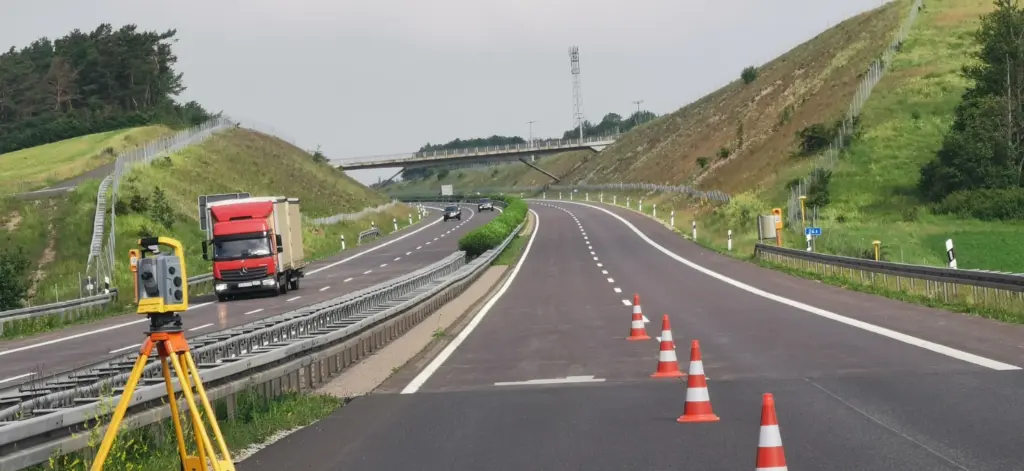
Start of production of road as-built plans for the BAB A38 (14 km) for DEGES GmbH (until 2024)
- 2020
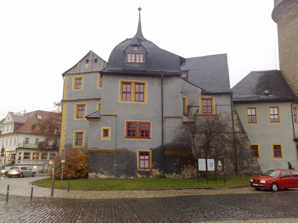
As-built survey of the Bastille and castle tower at Burgplatz Weimar
- 2022
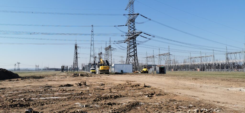
As-built survey and earthwork volume determination at the Bad Lauchstädt substation for 50Hertz Transmission (until 2024)
- 2023
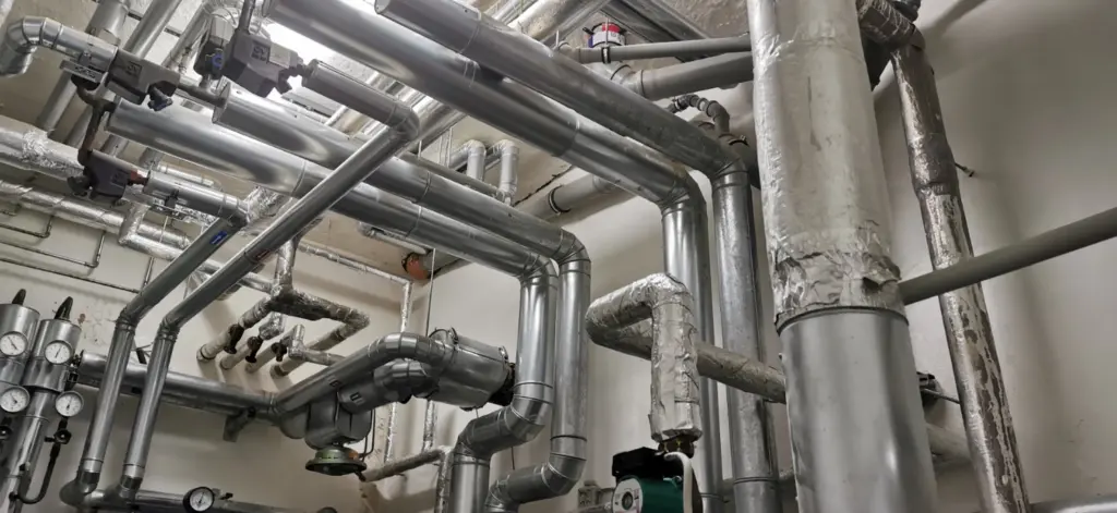
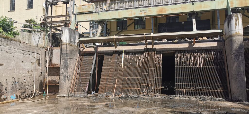
3D scan of a pump chamber as an IFC model for Schachtbau Nordhausen / Vattenfall
- 2025
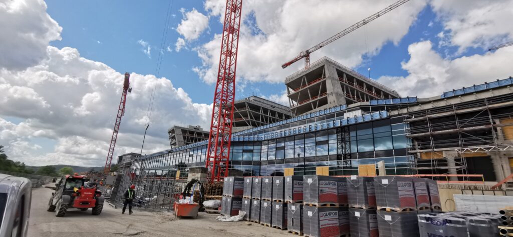
Control point determination for 3D scan of the staircases, Zeiss Hightech Center Jena