
Engineering surveying, 3D laser scanning and structural monitoring for building construction, hydraulic engineering, bridge, track and industrial plant construction.

GeoPlus GbR
Landsberg am Lech · Munich · Kaufbeuren · AugsburgNew on Amplifa
About us
The surveying office GeoPlus GbR has been active in all areas of engineering surveying since 1998 – initially as Ingenieurbüro Tschudowsky, and since 2006 under its current name. Its range of services includes building construction surveying (design surveying, construction-accompanying surveying, setting-out of alignment axes, certification of alignment per BayBO, transfer of buildings into the cadastre per GüVO), hydraulic engineering with river profile measurements and its own surveying boats, bridge, landfill, road and track construction as well as pipeline surveying, industrial plant construction and utility line locating. Using 3D laser scanning, structures are captured with a high point density; floor plans, cross-sections and CAD drawings are produced from the scan data. For structural monitoring, the company offers permanent online monitoring systems with laser sensor technology on settlement-free pedestals, internet connectivity and alarm functions. The team comprises around 16 employees including two owners, surveying engineers, technicians and apprentices, supplemented by two freelance engineers. The head office is in Landsberg am Lech; further locations exist in Munich, Kaufbeuren and Augsburg.
- Site
- Landsberg am Lech
- Processes
- Engineering surveying (all areas), Building construction surveying: design surveying, construction-accompanying surveying, setting-out, Structural monitoring / settlement measurements, also with autonomous monitoring systems, Structural monitoring: permanent online structural monitoring system with integrated, Hydraulic engineering: river profile measurements with own surveying boats,, Bridge construction: setting-out, construction-accompanying surveying, control measurements, Landfill construction: base surveying, setting-out, construction supervision, settlement, Road construction: base surveying, volume calculations, REB settlement documents
- Materials
- 3D laser scanning, Structural monitoring, Total station, GPS/GNSS, Surveying boat
- Certificates
- EBA-compliant track as-built survey, Alignment certification per BayBO, Cadastre transfer per GüVO, REB settlement documents
- Founded
- 1998
- Employees
- approx. 16 (2 owners
- Industries
- Building construction, Hydraulic engineering, Bridge construction, Landfill construction, Road construction, Track construction
- 01
Clarification of the assignment and measurement concept
- 02
Control point network measurement (GPS/total station)
- 03
Field survey (total station, 3D laser scanning, monitoring systems)
- 04
Office-based evaluation
- 05
Production of plans, CAD drawings and settlement documents (REB, GüVO)
Methods and Measurement Technology
3D laser scanning
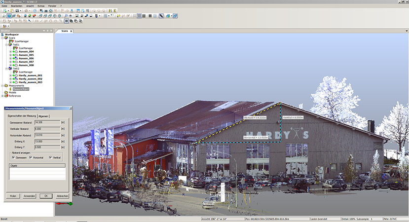
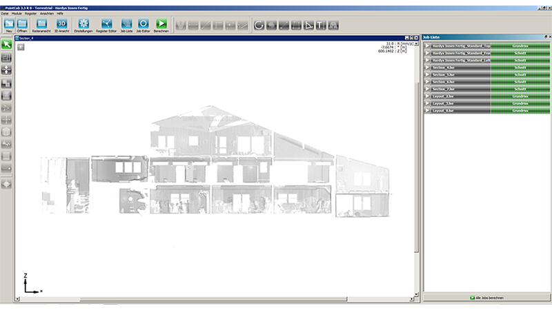
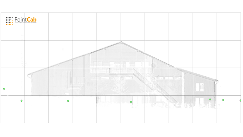
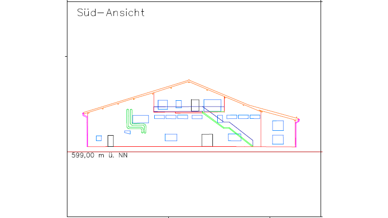
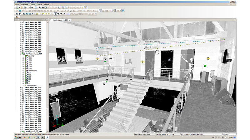
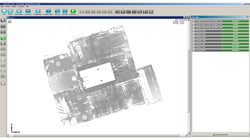
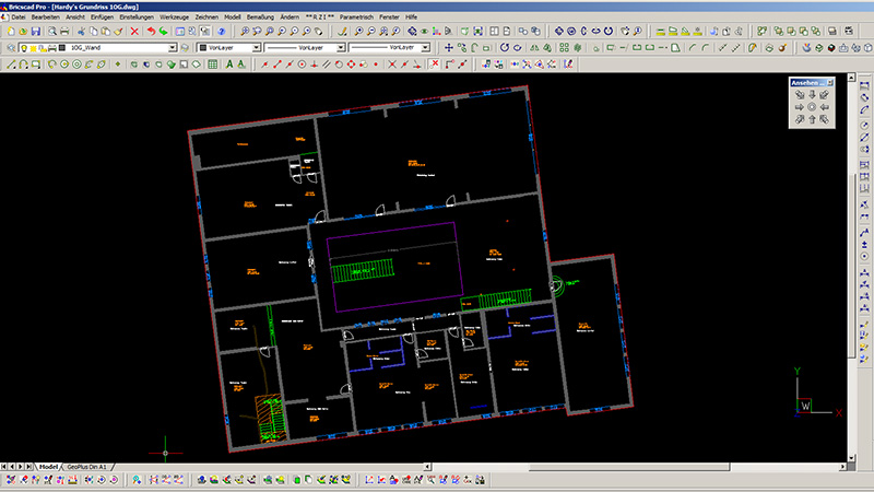
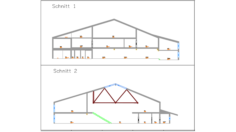
High-precision as-built surveying with high point density; generation of plans, cross-sections and CAD drawings from the scan data.
Structural monitoring
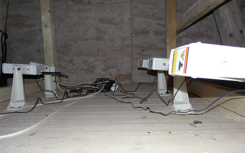
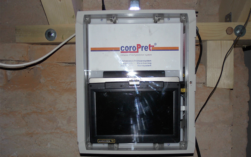
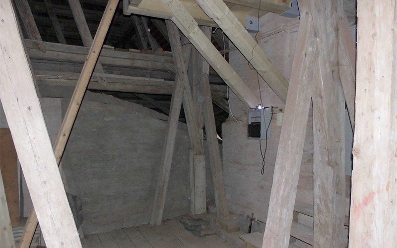
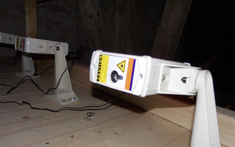
Permanent online structural monitoring with laser sensors on settlement-free pedestals, internet connectivity and alarms.
Total station
Control point network measurement and referencing of scan data as well as classical engineering surveying.
GPS/GNSS
Control point network creation for pipeline surveying and referencing.
Surveying boat
River profile measurements in hydraulic engineering using its own surveying boats.
Locations
Landsberg am Lech
DEHead office
- 3D laser scanner
- Total station
- Monitoring system
- GPS/GNSS receiver
- Surveying boat
- Utility line locator
Munich
DEBranch office (Gaißacher Straße 18, since 2012)
Kaufbeuren
DEOffice with its own surveying crew (since 2013)
Augsburg
DEBranch office (Im Tal 10, since 2018)
Services
Inside the production
Industries
Processes & technical limits
| Processes | Tolerance | Max. part | Weight | Lot size | Materials |
|---|---|---|---|---|---|
| Engineering surveying (all areas)Engineering | – | – | – | – | – |
| Building construction surveying: design surveying, construction-accompanying surveying, setting-outEngineering | – | – | – | – | – |
| Structural monitoring / settlement measurements, also with autonomous monitoring systemsTesting | – | – | – | – | – |
| Structural monitoring: permanent online structural monitoring system with integratedTesting | – | – | – | – | – |
| Hydraulic engineering: river profile measurements with own surveying boats,Engineering | – | – | – | – | – |
| Bridge construction: setting-out, construction-accompanying surveying, control measurementsEngineering | – | – | – | – | – |
| Landfill construction: base surveying, setting-out, construction supervision, settlementEngineering | – | – | – | – | – |
| Road construction: base surveying, volume calculations, REB settlement documentsEngineering | – | – | – | – | – |
| Track construction: EBA-compliant as-built surveying of track systems, setting-out, constructionEngineering | – | – | – | – | – |
| Pipeline surveying: GPS control point network creation, surveying of utility andEngineering | – | – | – | – | – |
| Industrial plant construction: preparation of setting-out based on the layout, execution of theEngineering | – | – | – | – | – |
| Locating of oil, gas, water and power linesTesting | – | – | – | – | – |
| 3D laser scanning: as-built surveying with high point density, generation of plans, cross-sectionsTesting | – | – | – | – | – |
| Control point network measurement with total station for referencing of scan dataEngineering | – | – | – | – | – |
6 Anlagen & Maschinen
| Machine | Manufacturer / model | Quantity | Working area | Year built | Site |
|---|---|---|---|---|---|
| 3D laser scanner | – | – | – | – | Landsberg am Lech (head office) |
| Total station | – | – | – | – | – |
| Surveying boat | – | – | – | – | – |
| GPS/GNSS receiver (for control point network creation) | – | – | – | – | – |
| Monitoring system (laser sensors, central unit, settlement-free pedestal) | – | – | – | – | – |
| Utility line locator | – | – | – | – | – |
Additional services
Reference customers
Quality
Measurements are carried out with 3D laser scanners, total stations and GNSS; control point networks secure the referencing of the scan data. Monitoring systems provide permanent online data with alarms; track as-built surveys are performed in compliance with EBA.
| Evidence | Landsberg am Lech |
|---|---|
| EBA-compliant track as-built survey | |
| Alignment certification per BayBO | |
| Cadastre transfer per GüVO | |
| REB settlement documents |
History
- 1998
Founded as Ingenieurbüro Tschudowsky
- 2006
Continued as surveying office GeoPlus GbR
- 2012
Opening of the Munich-Sendling branch office (August)
- 2013
Own surveying crew with office in Kaufbeuren
- 2018
Opening of the Augsburg-Haunstetten branch office, Im Tal 10