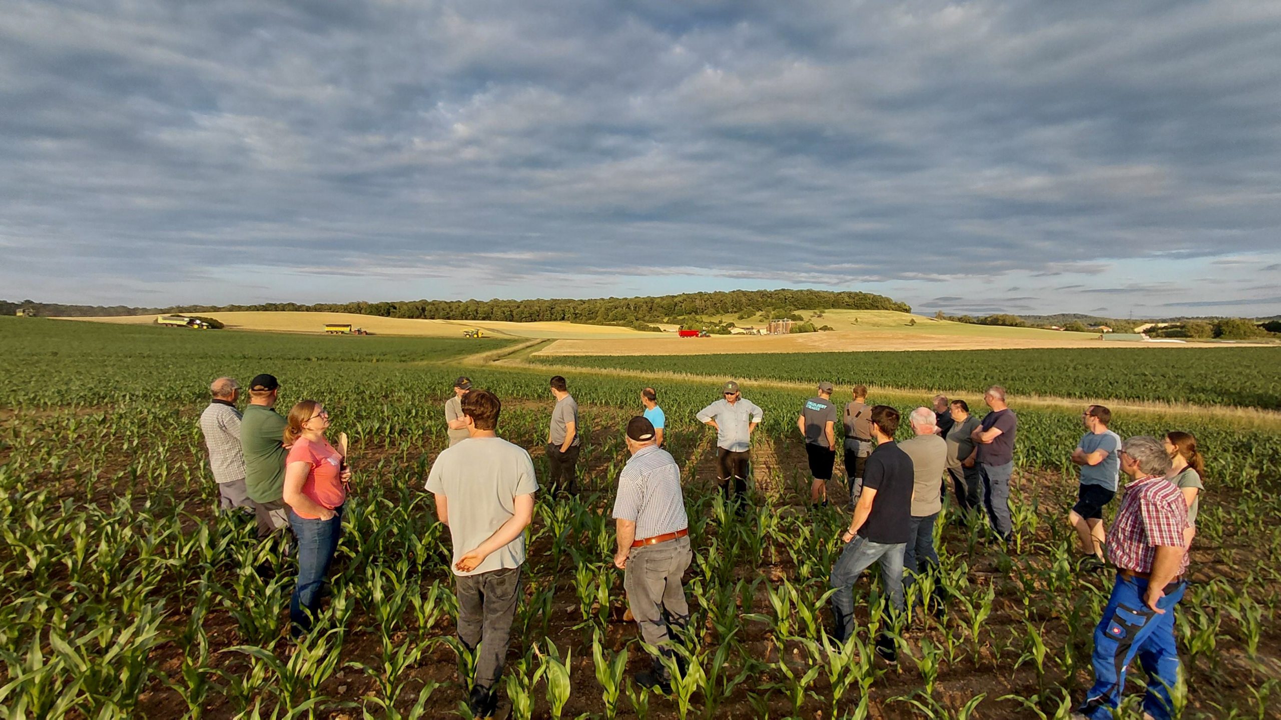
Engineering firm for hydrogeology, groundwater protection, soil protection, and landscape water management
GeoTeam – Gesellschaft für umweltgerechte Land- und Wasserwirtschaft mbH
BayreuthNew on Amplifa
About GeoTeam
GeoTeam GmbH in Bayreuth is an engineering firm for environmentally sound land and water management. The areas of work include hydrogeology and water extraction, groundwater investigations, securing and developing water extraction systems, and legal applications for water rights. Another focus is cooperation in drinking water catchment areas (TrinkwEGV), agricultural consulting, and calculation of compensation claims in agriculture. In the field of soil protection and landscape water management, the office handles the renaturation of moors, streams, and lakes, soil improvement and climate adaptation in agriculture, as well as the implementation of the Water Framework Directive. Additionally, the team offers geoinformatics (GIS), soil mapping, borehole monitoring, measurement technology, geoelectrics, and stereoscopic aerial image analysis. The 17-person team of geoecologists, geologists, agricultural scientists, and landscape architects works from Bayreuth for agriculture, water supply, environmental and soil protection, forestry, and renewable energies.
- Site
- Bayreuth
- Processes
- Hydrogeology and water extraction, Groundwater investigation, Securing water extraction systems, New groundwater development, Legal applications for water rights, Cooperation in drinking water catchment areas (TrinkwEGV), Calculation of compensation claims, Agricultural consulting / Agriculture and groundwater protection
- Materials
- Geoelectrics, Geoinformatics (GIS), Stereoscopic Aerial Image Analysis, Borehole Monitoring and Measurement Technology
- Employees
- 17
- Industries
- Agriculture, Water supply / Drinking water extraction, Environmental and soil protection, Forestry, Renewable energies
- 01
Investigation and data collection (Soil mapping, geoelectrics, borehole
- 02
Analysis and assessment (Groundwater investigation, GIS)
- 03
Consulting and planning (Agricultural consulting, legal applications for water
- 04
Implementation and monitoring (Cooperations, construction supervision, training)
Services and Methods
Geoelectrics
Geophysical procedure for exploration in the area of groundwater and building soil.
Geoinformatics (GIS)
Database applications and geographic information systems for evaluation and planning.
Stereoscopic Aerial Image Analysis
Analysis of aerial images for the surface-level capture of location data.
Borehole Monitoring and Measurement Technology
Monitoring of drilling operations and data logger measurements at water extraction systems.
Locations
Bayreuth
DEHeadquarters / Office Location
Inside the production
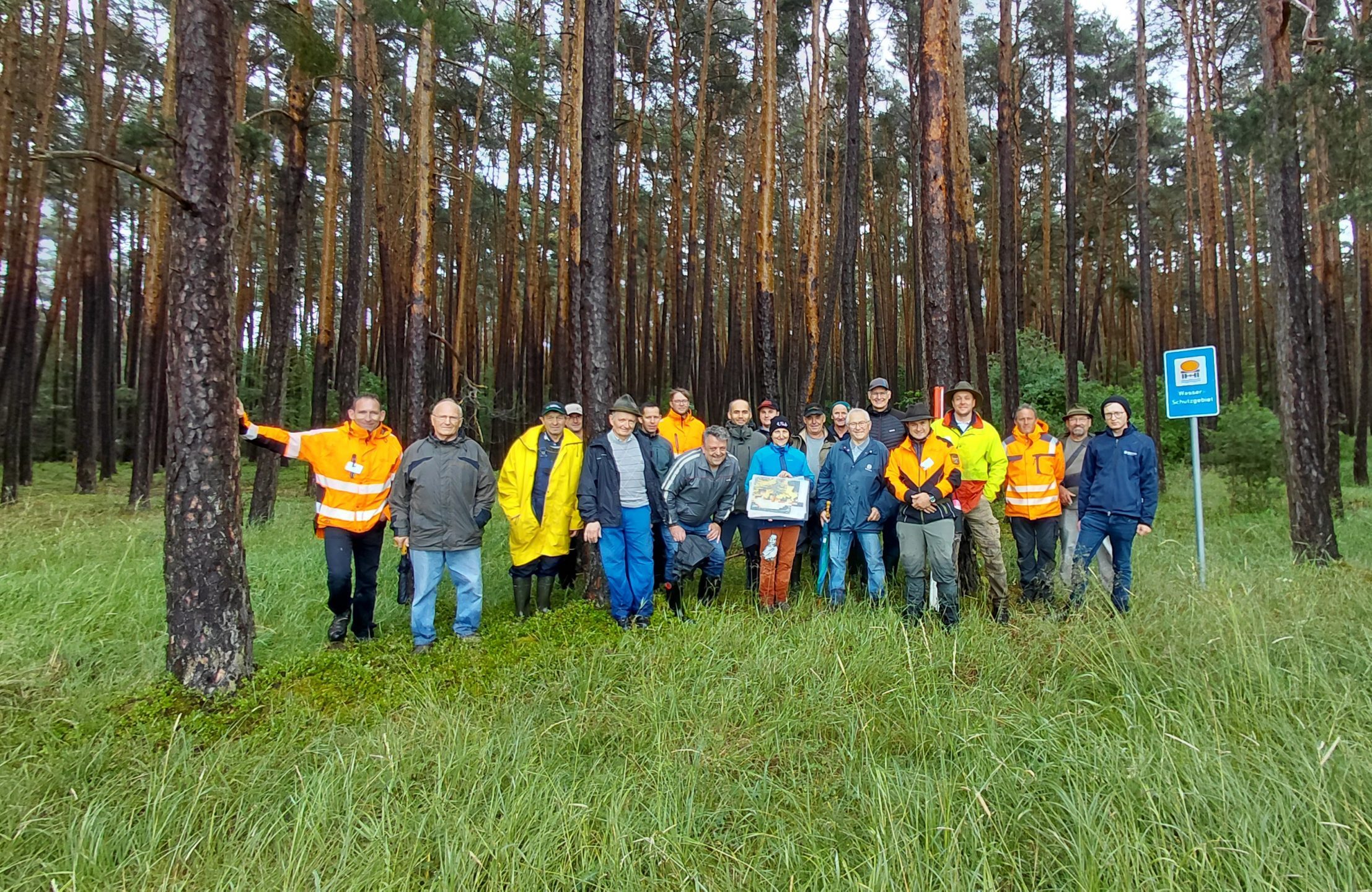
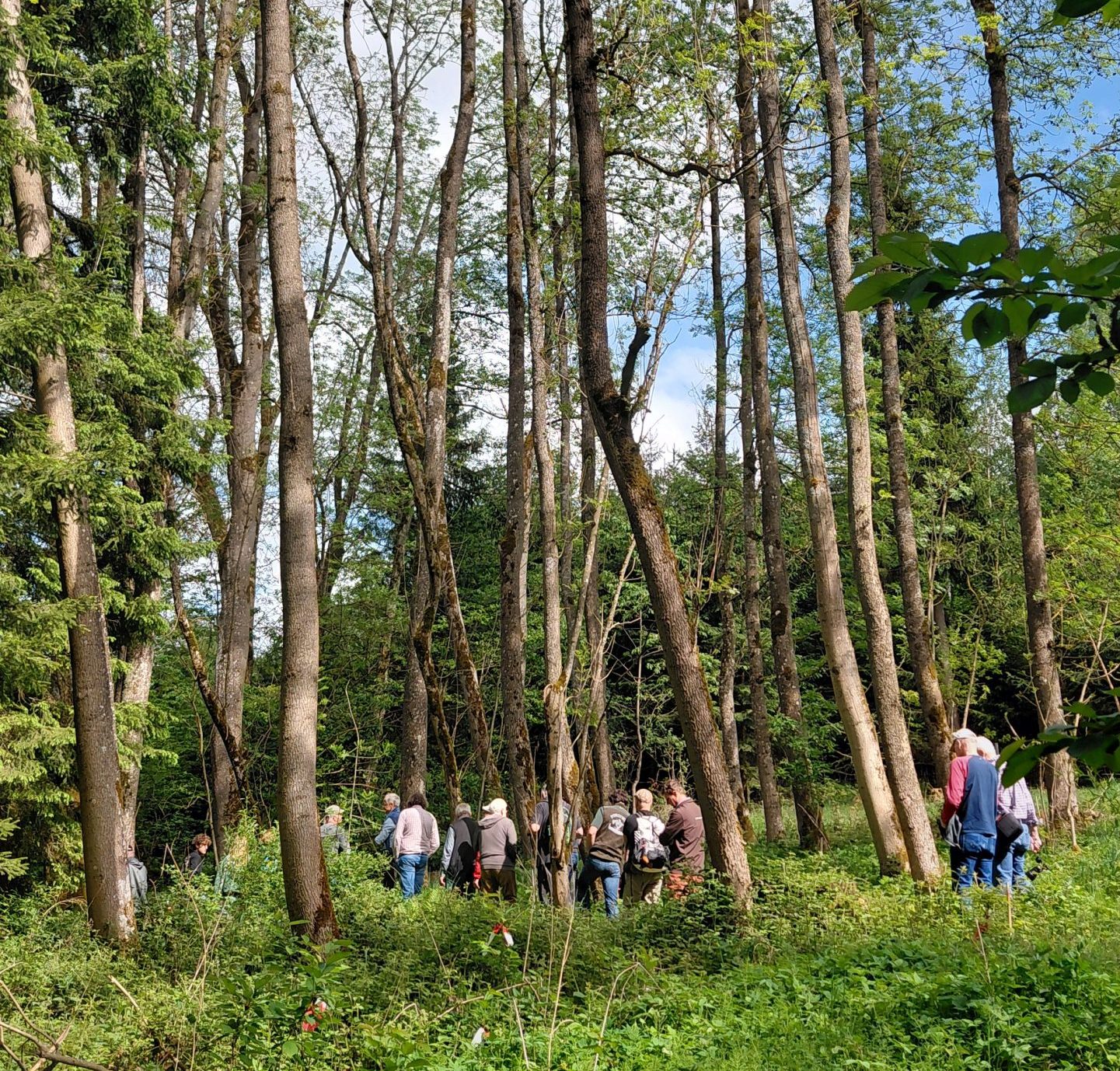
Industries
Additional services
History
- 1998
Martin Potsch hired as the first traceable employee at GeoTeam GmbH; previously GeoTeam GbR Bayreuth
- 2000
Peter Schultheiß joins the office
- 2004
Jan Ullrich is hired
- 2009
Ewald Herrmannsdörfer is hired
- 2017
Dr. Heidi Lehmal strengthens the team in Bayreuth
- 2019
Christopher Schramm is hired
- 2021
Johannes Herold joins the office
- 2022
Jonas Preinl is hired
- 2023
Robert Fritscher is hired
- 2024
Yves Thönnes and Nadine Schwarz join the team
- 2025
Felix Gleißner is hired