Development and integration of sensor systems for kinematic and airborne surveying

IGI mbH - Integrated Geospatial Innovations
Kreuztal (Langenauer Str. 46, headquarters)New on Amplifa
About IGI
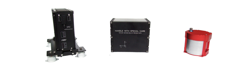
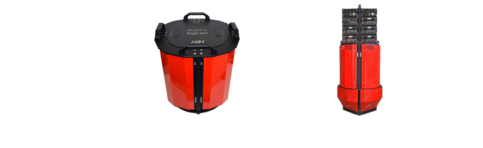
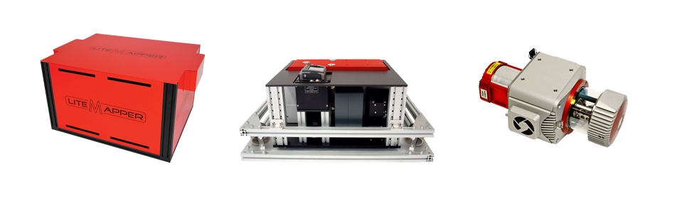
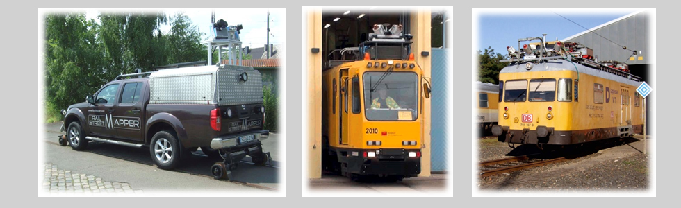
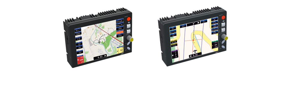
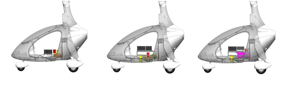
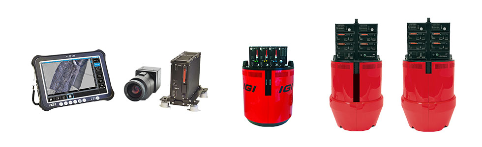
IGI mbH, based in Kreuztal, specialises in the system integration of sensors into in-house developed positioning systems as well as the distribution of all-in-one solutions for kinematic and airborne surveying missions. The product portfolio includes GNSS/IMU navigation systems (AEROcontrol/TERRAcontrol), modular aerial cameras (DigiCAM), airborne LiDAR systems (LiteMapper) for airplanes, helicopters, gyrocopters and UAVs, mobile mapping systems for rail (RailMapper) and road (StreetMapper-V, SAM), as well as the sensor management system CCNS-5. With Cavalon Aerial Survey, IGI offers a turn-key solution for photogrammetry, airborne LiDAR and 3D city modelling; the IGIplan software supports mission planning. The company operates worldwide and, together with partners, offers first-level support as well as remote services via desktop sharing.
- Site
- Kreuztal
- Processes
- System integration of sensors into in-house developed positioning systems, Distribution of all-in-one solutions for kinematic and airborne surveying, Mission Planning & Flight Guidance, GNSS/IMU navigation systems (AEROcontrol/TERRAcontrol), Modular aerial cameras (DigiCAM), Airborne LiDAR systems (LiteMapper), Mobile mapping systems (RailMapper, StreetMapper), Turn-key solutions (Cavalon Aerial Survey)
- Industries
- Geodesy/Surveying, Aerial photogrammetry, Airborne LiDAR, 3D city modelling, Mobile mapping (rail/road), Geospatial/Surveying
- 01
Engineering and development of the positioning systems
- 02
System integration of sensors
- 03
Assembly and configuration of the surveying systems
- 04
Software solutions (IGIplan) and mission planning
- 05
Sales and worldwide support
Locations
Kreuztal
DEHeadquarters, development and system integration
- Materials
- GNSS/IMU, cameras, LiDAR
- AEROcontrol / TERRAcontrol
- DigiCAM
- LiteMapper
- RailMapper
- CCNS-5
- SAM
- Cavalon Aerial Survey
Systems & Products
Industries
8 Anlagen & Maschinen
| Machine | Manufacturer / model | Quantity | Working area | Year built | Site |
|---|---|---|---|---|---|
| GNSS/IMU Navigation System | IGI AEROcontrol / TERRAcontrol | – | – | – | Kreuztal |
| Modular Aerial Camera System | IGI DigiCAM | – | – | – | Kreuztal |
| Modular Airborne LiDAR System (fixed-wing, helicopter, gyrocopter, UAV/RPAS) | IGI LiteMapper | – | – | – | Kreuztal |
| Mobile Mapping System for Hi-Rail Cars and Trains | IGI RailMapper | – | – | – | Kreuztal |
| Guidance, Positioning and Sensor Management System for Aerial Surveying | IGI CCNS-5 | – | – | – | Kreuztal |
| Mobile Mapping System (terrestrial laser scanners on vehicles) | IGI SAM | – | – | – | Kreuztal |
| Turn-key Solution for Photogrammetry, Airborne LiDAR and 3D City Modelling | IGI Cavalon Aerial Survey | – | – | – | Kreuztal |
| StreetMapper-V Integration with Mosaic X (Mobile Mapping) | IGI StreetMapper-V / Mosaic X | – | – | – | Kreuztal |
Additional services
Reference customers