
Engineering and surveying office for cadastral surveying, BIM-compliant engineering surveying and geodata management

IVB Krause + Partner, Vermessungsingenieure
14612 Falkensee (Brandenburg), GermanyNew on Amplifa
About IVB Krause + Partner
IVB Krause + Partner, Vermessungsingenieure is an engineering and surveying office founded in 1986 by Dipl.-Ing. Uwe Krause, based in Falkensee (Brandenburg). Since 2020 the company has operated as a partnership, led by Uwe Krause (ÖbVI) and Torsten Genz. Its core business comprises sovereign surveying tasks relating to land, construction and valuation: site plans, boundary, building and land consolidation surveys; cadastral surveys are carried out throughout the state of Brandenburg, based in the district of Havelland. In addition, the service portfolio includes BIM-compliant engineering surveying with laser scanning and UAV flights, photogrammetry, as-built documentation, evidence-securing procedures, real estate valuation and land acquisition, geodata management and integration, GIS with web services, and CAD, 3D and extended-reality visualisation. For more than ten years the company has been active in research and development of geodetic methods with partners from industry, science and administration across Germany, and is committed to training and developing young talent through its sister company Geo-Office GmbH and the Geobusters Academy.
- Site
- Falkensee
- Processes
- Sovereign surveying tasks / cadastral surveying, Engineering surveying (BIM-compliant), Laser scanning, Photogrammetry + UAV (aerial surveying), BIM (Building Information Modeling), Land consolidation, As-built documentation, Evidence-securing procedures
- Materials
- Laser scanning, UAV aerial surveying (photogrammetry), BIM (Building Information Modeling), GIS + web services
- Certificates
- Publicly appointed surveying engineer (ÖbVI)
- Founded
- 1986
- Industries
- Surveying/Geoinformation, Real estate/Property, Construction, Public administration (cadastre)
- 01
Capture (terrestrial surveying, laser scanning, UAV flights)
- 02
Evaluation and processing (CAD, BIM, GIS)
- 03
Geodata management and integration
- 04
Documentation and visualisation (3D, VR/AR)
- 05
Provision via GIS web services
Materials & processes
Laser scanning
Terrestrial laser scanning for as-built and engineering surveying
UAV aerial surveying (photogrammetry)
Airborne capture of terrain and as-built conditions
BIM (Building Information Modeling)
BIM-compliant engineering surveying for construction projects
GIS + web services
Capture, management and analysis of geographic data with online provision
Location
Falkensee
DEOffice/Headquarters
Inside the production
Industries
Processes & technical limits
| Processes | Tolerance | Max. part | Weight | Lot size | Materials |
|---|---|---|---|---|---|
| Sovereign surveying tasks / cadastral surveyingTesting | – | – | – | – | – |
| Engineering surveying (BIM-compliant)Engineering | – | – | – | – | – |
| Laser scanningTesting | – | – | – | – | – |
| Photogrammetry + UAV (aerial surveying)Testing | – | – | – | – | – |
| BIM (Building Information Modeling)Engineering | – | – | – | – | – |
| Land consolidationEngineering | – | – | – | – | – |
| As-built documentationEngineering | – | – | – | – | – |
| Evidence-securing proceduresEngineering | – | – | – | – | – |
| Valuation (real estate valuation & land acquisition)Engineering | – | – | – | – | – |
| CAD & 3D visualisationEngineering | – | – | – | – | – |
| VR / AR visualisation (extended reality)Engineering | – | – | – | – | – |
| Geodata management & geodata integrationEngineering | – | – | – | – | – |
| GIS + web servicesEngineering | – | – | – | – | – |
| AI-supported surveying processesEngineering | – | – | – | – | – |
Additional services
Quality and Accreditation
The company is led by publicly appointed surveying engineers (ÖbVI) in the state of Brandenburg; sovereign surveying tasks are performed in accordance with the statutory requirements of the Brandenburg cadastral and surveying system.
| Evidence | Falkensee |
|---|---|
| Publicly appointed surveying engineer (ÖbVI) |
Company History
- 1986
Foundation of the Ingenieur- und Vermessungsbüro Krause by Dipl.-Ing. Uwe Krause
- 1996
Uwe Krause appointed as publicly appointed surveying engineer in the state of Brandenburg
- 2020
Conversion into a partnership; Dipl.-Ing. Fabian Bock joins as partner and ÖbVI
- 2023
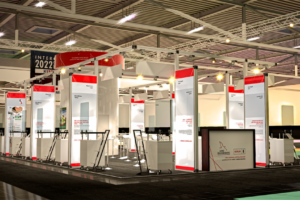
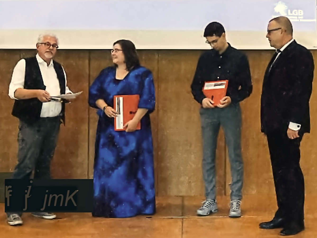
Participation in trade fairs such as Intergeo and commitment to certificate presentations and promoting young talent in geoinformation technologies
- 2025
Partner Fabian Bock passed away on 17 January 2025