Sales and support for hydrographic survey systems: multibeam, singlebeam, GNSS, autonomous survey systems and software.
Kalmar Systems GmbH
Lise-Meitner-Straße 1-7, 24223 Schwentinental · GermanyNew on Amplifa
About Kalmar Systems
Kalmar Systems GmbH, based in Schwentinental (Schleswig-Holstein), is a specialist distributor and service provider for hydrographic survey systems. The portfolio includes multibeam systems (swath echo sounders) for high-resolution recording of the water body bottom, singlebeam systems for profile measurements with echogram evaluation, as well as GNSS receivers and OEM boards for system integration using all four global GNSS constellations. For offshore applications, a real-time PPP service with worldwide coverage is available; anti-jamming and anti-spoofing technologies filter out external interference. In addition, the company offers unmanned surface vehicles (USV) for flexible data acquisition and monitoring, as well as software for real-time capture, evaluation and post-processing of GNSS and INS data. Beyond sales, Kalmar Systems provides installation, commissioning support, training, and support and remote maintenance. The systems are used in ports, on waterways, in hydraulic engineering, in hydrography/surveying and offshore.
- Site
- Schwentinental
- Processes
- Sales of hydrographic survey systems, Technical support, Installation, Training, Commissioning support, Support and remote maintenance, System integration (GNSS OEM boards, USV), PPP service with worldwide coverage
- Materials
- Multibeam (swath echo sounder), Singlebeam, GNSS positioning, Real-time PPP service, Autonomous survey systems (USV), Software
- Industries
- Hydrography/Surveying, Ports, Waterways, Hydraulic engineering, Offshore, Monitoring
- 01
Consulting and product selection
- 02
Sales of hydrographic survey systems
- 03
Installation and commissioning support
- 04
Training
- 05
Support and remote maintenance
Systems and Technologies
Multibeam (swath echo sounder)
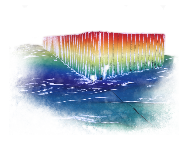
Records the water body bottom with high resolution and point density, from compact entry-level systems to solutions for demanding survey tasks.
Singlebeam
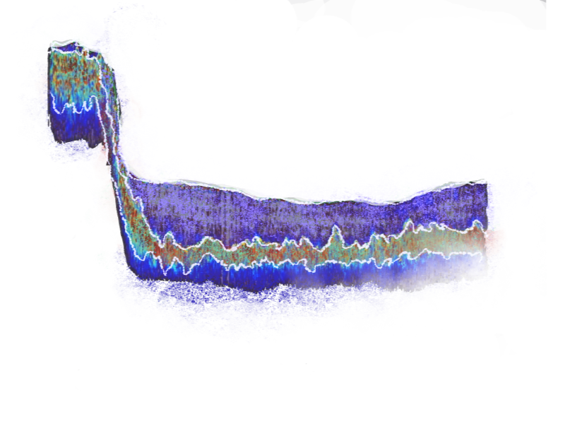
For profile measurements; different frequencies distinguish bottom layers such as silt and firm subsoil.
GNSS positioning
Integrated GNSS receivers and OEM boards use all four global constellations for demanding positioning tasks.
Real-time PPP service
For offshore applications without available RTK corrections, with worldwide coverage and evaluation of stored GNSS raw data.
Autonomous survey systems (USV)
Unmanned surface vehicles for efficient data acquisition and monitoring in hard-to-access water areas.
Software
Programs for real-time capture and evaluation of hydrographic survey data as well as post-processing of GNSS and INS data.
Locations
Schwentinental
DEHeadquarters
Product Areas


Industries
Additional services
History
- 2020
Website first published (25.09.2020)