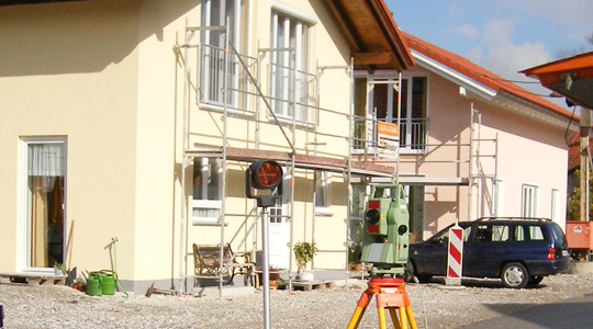
Bavarian authority for official surveying, geodata, IT services and broadband expansion

Landesamt für Digitalisierung, Breitband und Vermessung
Munich · Lohr a. MainNew on Amplifa
About the LDBV
The State Office for Digitalisation, Broadband and Surveying (LDBV), headquartered in Munich, is the central authority of the Bavarian Surveying Administration and the central point of contact for all matters of official surveying in Bavaria. The LDBV records geobase data, describes it in information systems and presents it in maps; broadband expansion and the digitalisation of data, processes and infrastructures such as government networks also fall within its remit. The office is also the supervisory authority over 51 offices for digitalisation, broadband and surveying (ÄDBV), which are responsible for property surveys and the expansion of fast internet. The LDBV also comprises the IT Service Centre of the Free State of Bavaria (IT-DLZ), which operates e-government applications and central IT infrastructures for the administration and the courts. Further tasks include maintaining the real estate cadastre (ALKIS), producing official topographic maps, aerial photography programmes, geodata offerings such as BayernAtlas, GeodatenOnline and OpenData, as well as operating BayernWLAN. The Bavarian Surveying Administration traces its origins back to the Topographical Bureau founded in 1801.
- Site
- München
- Processes
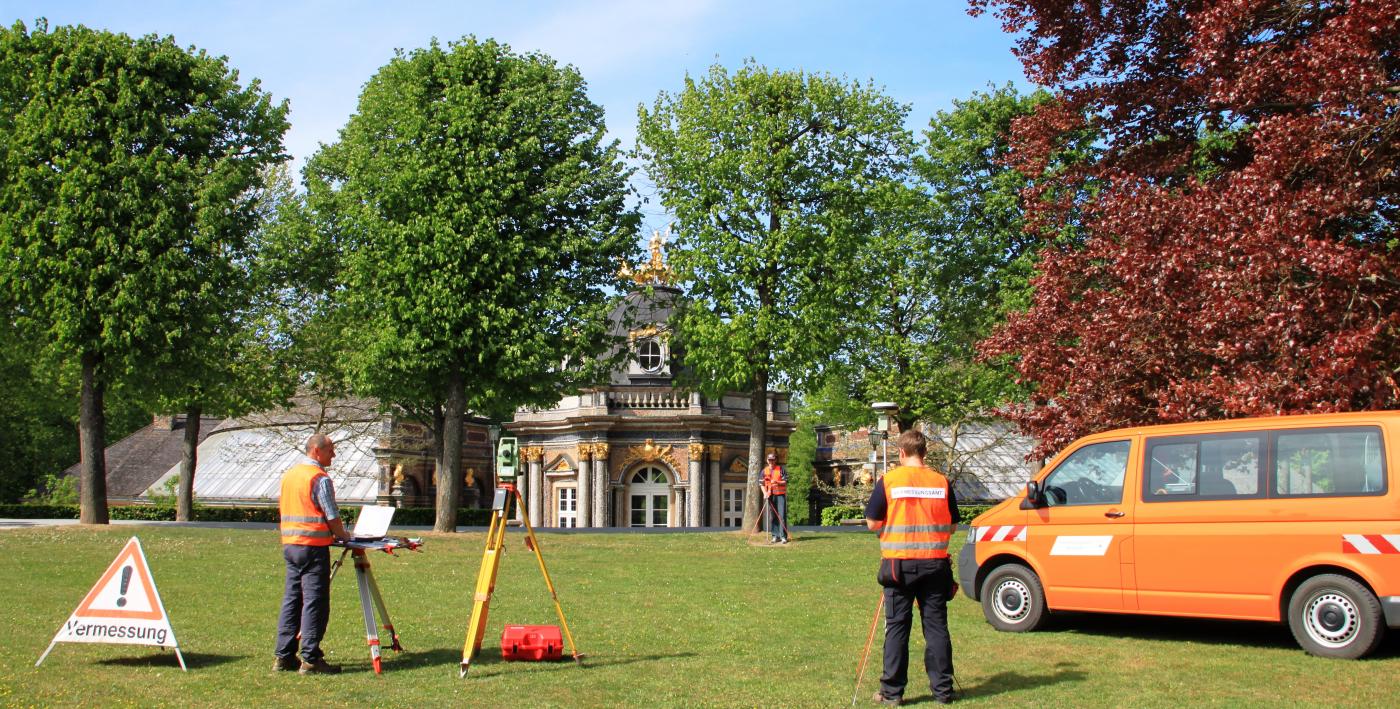
- Property surveying (boundary surveying, land subdivision), Building surveying, Maintenance of the real estate cadastre (ALKIS), Cadastral extracts and parcel maps, Land consolidation (reallocation, cadastral re-surveying), Broadband management/funding procedures, IT services for state administration (IT-DLZ), Geodata provision (BayernAtlas, GeodatenOnline, OpenData)
- Founded
- 1801
- Industries
- Public administration, Geoinformation/Geodesy, IT/E-government, Broadband expansion
- 01
Recording of geobase data
- 02
Description in information systems
- 03
Map design and output
- 04
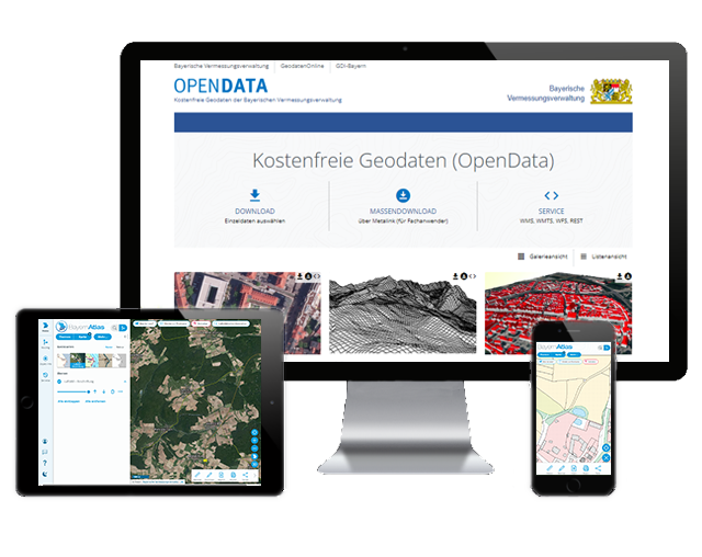
Provision via online services (BayernAtlas, GeodatenOnline, OpenData)
Locations
Munich
DEHeadquarters/main office of the LDBV
- Printing and media centre: sheet-fed offset printing press
- Large-format printers (up to 160 cm width)
- Cutting plotter
- Mounting and laminating systems
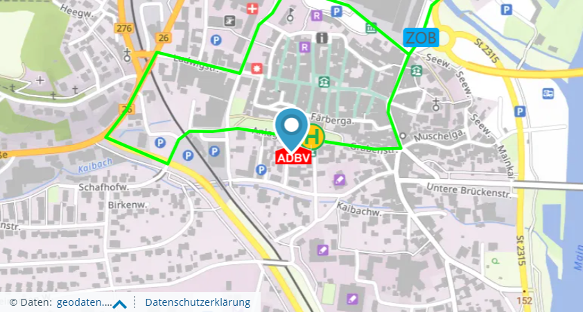
Lohr a. Main
DEOffice for Digitalisation, Broadband and Surveying (ADBV)
Products and Services

Inside the production


Industries
Additional services
History
- 1801
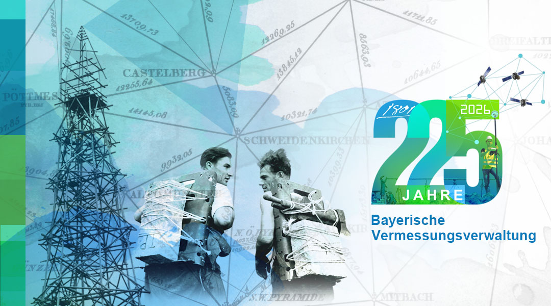
Founding of the 'Topographical Bureau' by Elector Max IV. Joseph – beginning of the Bavarian Surveying Administration
- 2014
On 1 January 2014, the IT Service Centre of the Free State of Bavaria (IT-DLZ) was integrated into the LDBV; the Bavarian Broadband Centre Amberg became the central point of contact for broadband expansion