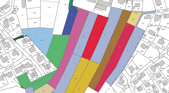
Bavarian State Survey Administration: geobase data, official maps and printing services for public administration

Landesamt für Digitalisierung, Breitband und Vermessung
Munich (headquarters) · Pfaffenhofen a.d.Ilm (ÄDBV)New on Amplifa
About the LDBV
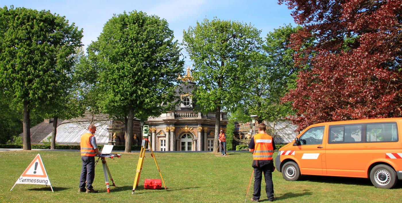
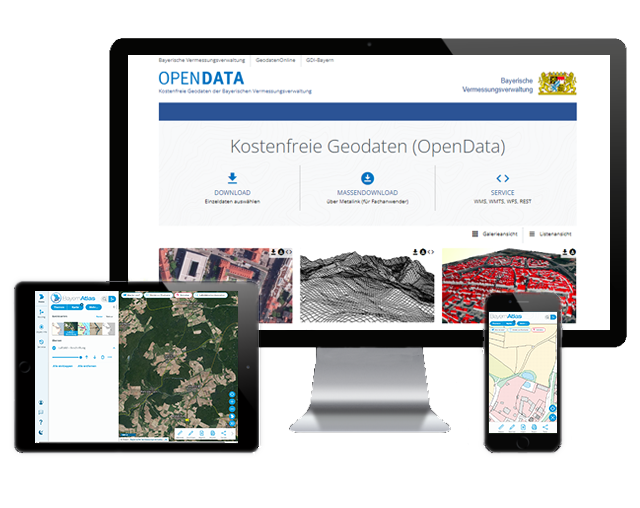
The Office for Digitalization, Broadband and Surveying (LDBV), headquartered in Munich, is the central intermediate authority of the Bavarian Survey Administration and is subordinate to the Bavarian State Ministry of Finance and for Home Affairs. It records geobase data, maintains the real estate cadastre and presents this data in maps and information systems. Via more than 51 Offices for Digitalization, Broadband and Surveying (ÄDBV), approximately 30,000 property surveys are carried out statewide each year, including boundary surveys, land parcel divisions and building staking-out surveys. Its remit also includes broadband expansion, IT services for the Bavarian state administration, and the distribution of geodata via BayernAtlas, GeodatenOnline and OpenData. At its own print and media center in Munich, the LDBV, as a state printing service provider, produces official topographic maps as well as brochures, flyers, posters and other print products in digital and offset printing.
- Site
- München
- Processes
- Digital printing (large format), Offset printing (sheet-fed offset), Post-press processing (cutting, folding, die-cutting, embossing, perforating, drilling, laminating,, Prepress (scanning, image editing, print data creation, impositioning, rasterizing), Property survey (boundary survey, land parcel division, building staking-out survey), Property survey (boundary survey, land parcel division), Building staking-out survey, Real estate cadastre
- Materials
- Large-format digital printing (inkjet and toner-based), Sheet-fed offset printing, Prepress (scanning, image editing, impositioning, rasterizing), Post-press processing
- Founded
- 1801
- Industries
- Public administration, Surveying/geoinformation, IT services, Broadband/digitalization infrastructure
- 01
Data acquisition (surveying, aerial flights)
- 02
Data processing and updating of the real estate cadastre
- 03
Description in information systems (ALKIS)
- 04
Presentation in maps and geodata products
- 05
Distribution via BayernAtlas, GeodatenOnline, OpenData
- 06
Prepress, digital and offset printing, post-press processing
Processes and Products
Large-format digital printing (inkjet and toner-based)
High-quality products on a wide variety of materials up to 160 cm width with professional color management.
Sheet-fed offset printing
Production in high print quality; a special drying process enables printing on difficult materials without print varnish.
Prepress (scanning, image editing, impositioning, rasterizing)
Creation of print-ready data and data checks for digital and offset printing.
Post-press processing
Cutting, folding, die-cutting, embossing, perforating, drilling, laminating, coating, binding and stitching.
Locations
Munich
DEHeadquarters, print and media center, IT service center
- Materials
- Paper and various materials (digital printing up to 160 cm width)
- Sheet-fed offset press
- Large-format printers (inkjet and toner-based)
- Cutting plotter
- Coating and laminating systems
Pfaffenhofen a.d.Ilm
DEOffice for Digitalization, Broadband and Surveying (ÄDBV)
Products and Services

Inside the production


Industries
Processes & technical limits
| Processes | Tolerance | Max. part | Weight | Lot size | Materials |
|---|---|---|---|---|---|
| Digital printing (large format)Printing/post-press processing | – | 160 cm | – | – | Paper, various materials |
| Offset printing (sheet-fed offset)Printing/post-press processing | – | – | – | – | – |
| Post-press processing (cutting, folding, die-cutting, embossing, perforating, drilling, laminating,Printing/post-press processing | – | – | – | – | – |
| Prepress (scanning, image editing, print data creation, impositioning, rasterizing)Printing/post-press processing | – | – | – | – | – |
| Property survey (boundary survey, land parcel division, building staking-out survey)Surveying/geodesy | – | – | – | – | – |
4 Anlagen & Maschinen
| Machine | Manufacturer / model | Quantity | Working area | Year built | Site |
|---|---|---|---|---|---|
| Sheet-fed offset press | – | – | – | – | Munich (print and media center, Alexandrastraße 4) |
| Large-format printers (inkjet and toner-based) | – | – | up to 160 cm width | – | Munich |
| Cutting plotter | – | – | – | – | Munich |
| Coating and laminating systems | – | – | – | – | Munich |
Additional services
Reference customers
History
- 1801
Foundation of the 'Topographic Bureau' by Elector Max IV. Joseph
- 1817
Creation of the first hand-drawn position sheets 1:25,000 (until 1841)
- 1987
Start of regular aerial flights over Bavaria
- 2012
BayernAtlas replaces the BayernViewer
- 2014
Integration of the IT service center into the LDBV; the Bavarian Broadband Center Amberg becomes the central point of contact