Official surveying, geobase data, land register, IT services and broadband expansion for Bavaria

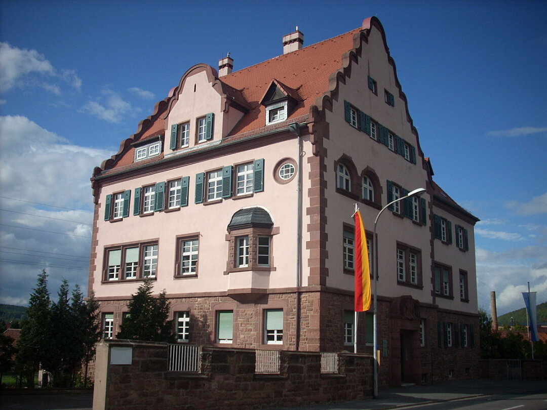
Landesamt für Digitalisierung, Breitband und Vermessung (LDBV) – ADBV Aschaffenburg
Aschaffenburg · Klingenberg a.Main · MunichNew on Amplifa
About the Office for Digitalization, Broadband and Surveying
The Office for Digitalization, Broadband and Surveying (LDBV) is a government authority of the Free State of Bavaria headquartered in Munich. As the central point of contact for official surveying, it collects geobase data, describes it in information systems and presents it in maps. The LDBV is the supervisory authority over the 51 Offices for Digitalization, Broadband and Surveying (ÄDBV); the ADBV Aschaffenburg with its branch office in Klingenberg a.Main is responsible for property surveying, building measurement, maintenance of the land register, register extracts and land consolidation. The LDBV also operates the IT Service Centre of the Free State of Bavaria (IT-DLZ) for administration and courts, the Broadband Centre for fibre-optic expansion, the Printing and Media Centre, and the satellite positioning service SAPOS. The origins of the Bavarian Surveying Administration date back to the founding of the Topographical Bureau in 1801.
- Site
- München
- Processes
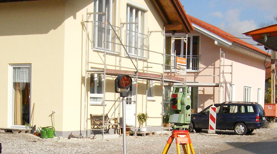
- Property surveying (boundary surveying, land division), Building measurement, Maintenance of the land register, Register extracts (cadastral map, building application map, planning map), Land consolidation, Online consultation, Topographic national survey and geobase data, Broadband expansion funding
- Materials
- Geobase data, ALKIS® data, Orthophotos, Digital terrain model, ATKIS® products
- Certificates
- Official quality (verified geobase data)
- Founded
- 1801
- Industries
- Public administration, Geodesy/Geoinformation, Broadband/IT infrastructure
- 01
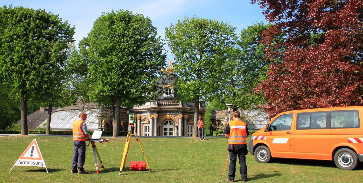
Data acquisition (surveying, aerial photography flights, laser scanning)
- 02
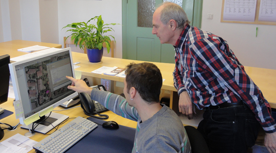
Processing and maintenance of geobase data and the land register
- 03
Provision via portals and geodata services
- 04
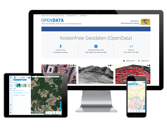
Distribution via GeodatenOnline and OpenData
- 05
Printing and Media Centre for map and print products
- 06
IT services for state administration
Services and Procedures
Geobase data
Official cadastral, topographic and reference data as the basis for planning, administration and business.
ALKIS® data
Official land register information system for ownership and parcel data.
Orthophotos
Geometrically rectified, distortion-free aerial images for maps, construction projects and environmental analyses.
Digital terrain model
Point cloud describing the Earth's surface in position and elevation.
ATKIS® products
Topographic and cartographic data in uniform nationwide formats.
Locations
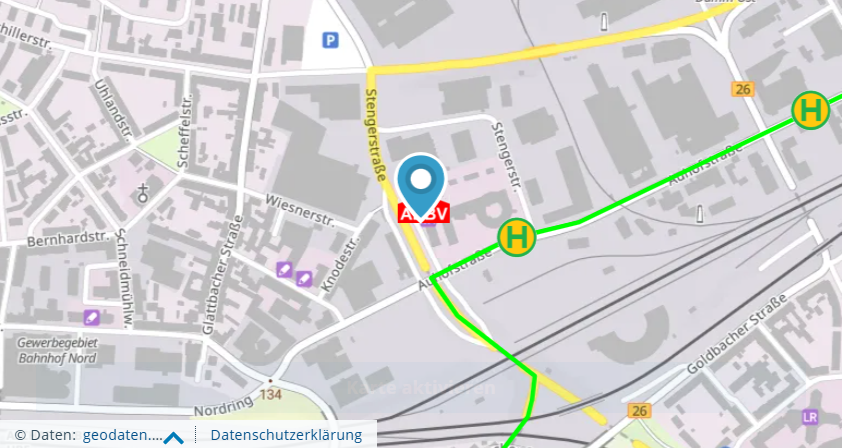
Aschaffenburg
DEMain office ADBV Aschaffenburg
Klingenberg a.Main
DEBranch office ADBV Aschaffenburg (land consolidation office)
Munich
DELDBV headquarters, IT-DLZ, Printing and Media Centre
Products and Data Offerings


Inside the production

Industries
Additional services
Reference customers
Quality and Reliability
Uniformity, nationwide availability and high currency of geobase data for all of Bavaria are the defined quality characteristics of the Bavarian Surveying Administration.
| Evidence | Munich |
|---|---|
| Official quality (verified geobase data) |
History
- 1801
Founding of the 'Topographical Bureau' by Elector Max IV. Joseph – the beginning of the Bavarian Surveying Administration
- 1817
Creation of the first hand-drawn position sheets 1:25,000 (1817–1841)
- 1987
Start of regular Bavaria-wide aerial photography flights
- 2012
BayernViewer is replaced by the BayernAtlas
- 2014
IT-DLZ is integrated into the LDBV on 1 January (previously Department IuK/Data Centre South of the Bavarian State Office for Statistics)