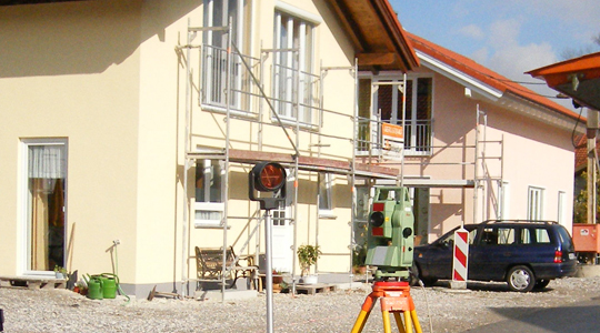
Official surveying, geobase data, maps and IT services for the Bavarian State Administration
Landesamt für Digitalisierung, Breitband und Vermessung (LDBV)
80538 Munich (Alexandrastraße 4) · 85049 Ingolstadt (Rechbergstraße 8) · 85072 Eichstätt (Residenzplatz 4 / Franz-Xaver-Platz 3) · Amberg · Windischeschenbach · Hof · Waldsassen · Freyung · NeustadtNew on Amplifa
About the State Office for Digitalisation, Broadband and Surveying
The State Office for Digitalisation, Broadband and Surveying (LDBV), headquartered in Munich, is the central point of contact for the Bavarian administrative authorities for official surveying. It records geobase data, describes it in information systems and presents it in maps. Its products include the real estate cadastre, cadastral maps, topographic maps (ATK25, UK50, ATK100, DTK), aerial photographs and orthophotos, digital terrain models, 3D building models (LoD2-BY) as well as geodata via the GeodatenOnline shop and OpenData. The LDBV also operates the satellite positioning service SAPOS Bavaria, the BayernAtlas and the IT Service Centre (IT-DLZ) for servers, databases and e-government of the Bavarian State Administration. In addition, the LDBV is responsible for broadband expansion and BavariaWLAN and acts as supervisory authority over 51 Offices for Digitalisation, Broadband and Surveying (ÄDBV), 13 of which have BayernLabs attached.
- Site
- Munich
- Processes
- Real estate cadastre and cadastral extracts, Boundary surveying / land division, Building surveying, Aerial photographs and orthophotos, Digital and printed maps (ATK25, UK50, ATK100, DTK), OpenData geodata, GeodatenOnline shop, BayernAtlas
- Materials
- Official Topographic Map 1:25 000, Digital Terrain and Surface Model, 3D Building Model, Real Estate Cadastre Information System, Satellite Positioning Service Bavaria
- Founded
- 1801
- Industries
- Public Administration, Construction/Planning, Agriculture, Geoinformation/GIS, Citizens and Municipalities
- 01
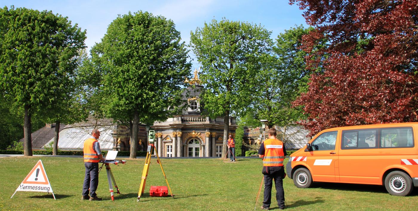
Recording of geobase data (surveying, aerial photography flights)
- 02
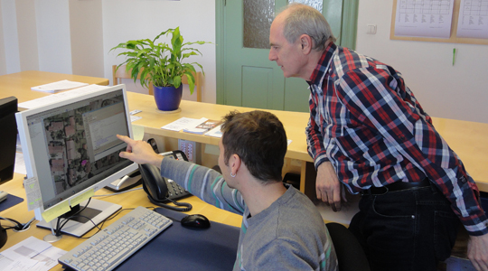
Processing and information systems (ALKIS, DGM, DLM)
- 03
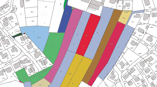
Cartographic presentation (digital and analogue)
- 04
Provision via GeodatenOnline, OpenData and BayernAtlas
- 05
IT services for the State Administration (IT-DLZ)
Products and Data Formats
Official Topographic Map 1:25 000
Digital and printed topographic maps in several scales up to 1:500 000.
Digital Terrain and Surface Model
Describes the Earth's surface as a point cloud with known position and elevation for planning and analysis.
3D Building Model
Building model of the real estate cadastre in vector form.
Real Estate Cadastre Information System
Official information system for parcels, buildings and ownership data.
Satellite Positioning Service Bavaria
Centimetre-accurate positioning via satellite reference points in the ETRS89 system.
Locations
Munich
DEHeadquarters / LDBV main site, IT-DLZ
Ingolstadt
DEADBV Ingolstadt (Customer Centre)
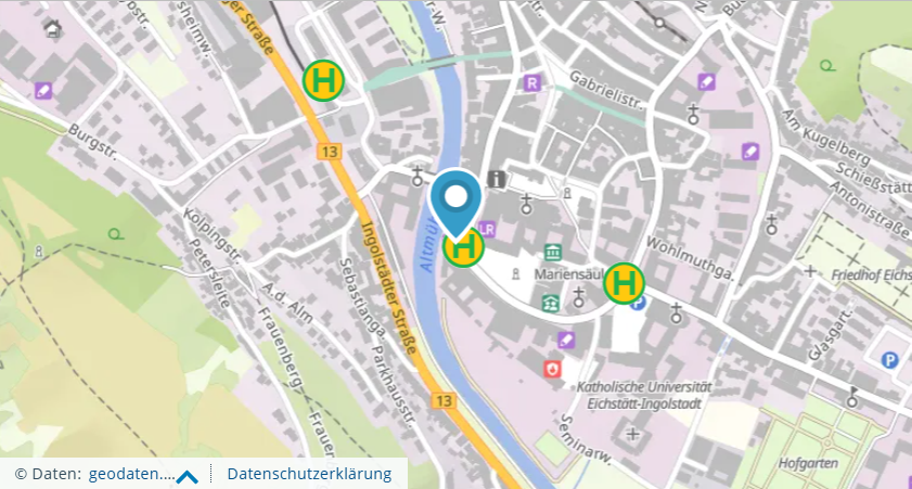
Eichstätt
DEADBV branch office with BayernLab Eichstätt
Products

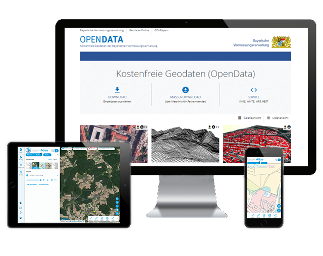


Inside the production

Industries
Additional services
History
- 1801
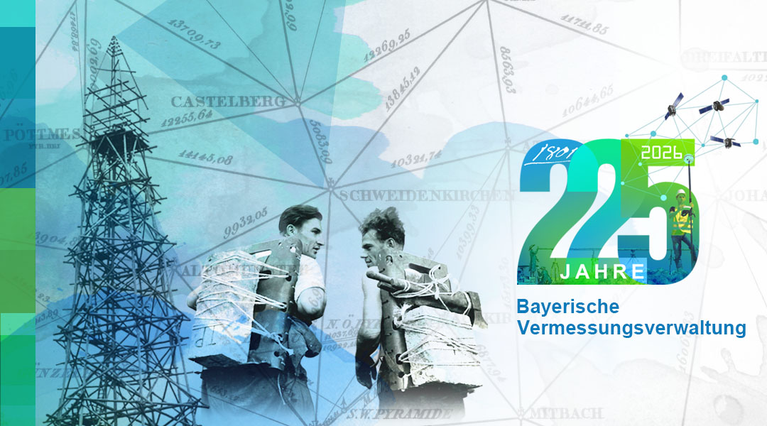
Foundation of the 'Topographisches Bureau' by Elector Max IV. Joseph
- 1817
First hand-drawn position sheets 1:25 000 (1817–1841)
- 1987
Start of the regular aerial photography flights of Bavaria
- 2012
BayernViewer replaced by the BayernAtlas
- 2014
IT-DLZ (formerly Data Centre South of the Bavarian State Office for Statistics) integrated into the LDBV