Manufacturer of surveying, laser and reality capture technology for construction, industry and infrastructure.

Leica Geosystems Holdings AG
Heerbrugg (CH)New on Amplifa
About Leica Geosystems
Leica Geosystems, headquartered in Heerbrugg, Switzerland, is a manufacturer of measurement and surveying technology and part of the Hexagon group. The company develops and produces total stations, GNSS systems, laser scanners, laser trackers, mobile mapping and airborne systems, machine control systems, detection systems, levels, rotating lasers, handheld laser distance meters (DISTO) and line lasers (Lino). In addition to hardware, the company offers software, cloud services such as Hexagon GeoCloud and Leica ConX, and technical services, including calibration services, repairs, warranty services, training and Certified Pre-owned Equipment. The solutions are used, among other things, in surveying, in building and heavy construction, in transportation, in energy and plant engineering, in monitoring, in mining, in agriculture and forestry, and in the oil and gas industry. The result of 3D laser scanning and surveying is highly accurate measurement and geodata for planning, construction and control.
- Site
- Heerbrugg
- Processes
- Surveying, Reality Capture / 3D Laser Scanning, Calibration of Measuring Instruments (Calibration Services), Technical Service / Repair, Machine Control, Utility Detection, Technical Service, Calibration Services
- Materials
- Total Stations (including Robotic Total Stations, MultiStation), GNSS Systems and Reference Networks, 3D Laser Scanners, Laser Tracker Systems, Mobile Mapping and Airborne Systems, Machine Control Systems, Detection Systems (Utility Detection), Lasers & Levels
- Certificates
- ISO 9001, ISO 14001
- Founded
- 1921
- Industries
- Surveying, Construction, Heavy Construction, Transport Infrastructure, Energy & Plants, Monitoring
- 01
Engineering & Product Development
- 02
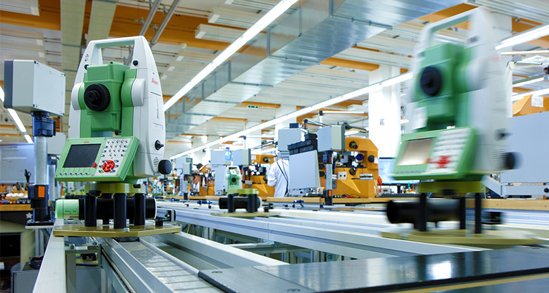
Manufacturing & Production
- 03
Software & Cloud Services
- 04
Technical Service
- 05
Calibration
- 06
Warranty Services
Technologies & Processes
Total Stations (including Robotic Total Stations, MultiStation)
Precision measurement devices for surveying and construction stakeout.
GNSS Systems and Reference Networks
Satellite-based positioning for surveying and machine control.
3D Laser Scanners
Reality capture for documentation and surveying of construction sites and objects.
Laser Tracker Systems
High-accuracy measurement in industrial applications.
Mobile Mapping and Airborne Systems
LiDAR and imaging sensors for dynamic mapping.
Machine Control Systems
3D machine control for excavators, dozers and other construction machinery.
Detection Systems (Utility Detection)
Detection and mapping of underground utility lines.
Lasers & Levels
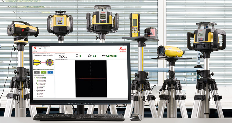
Rotating lasers (Rugby), line lasers (Lino) and levels for construction sites.
Locations
Heerbrugg
CHHeadquarters
Products
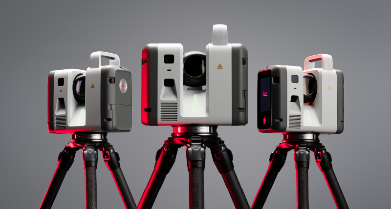
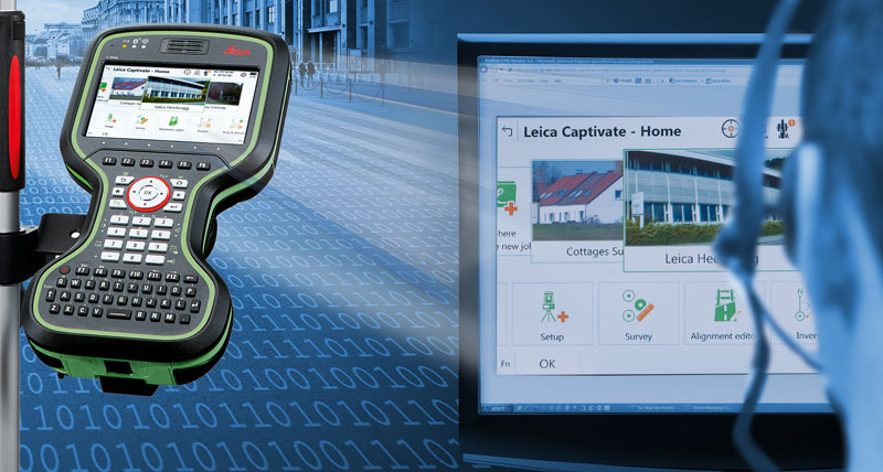
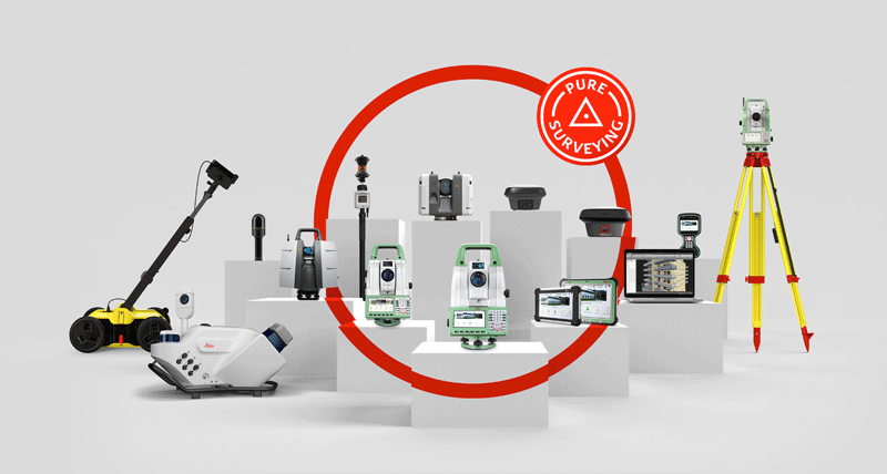

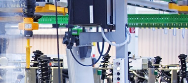
Inside the production
Industries
Processes & technical limits
| Processes | Tolerance | Max. part | Weight | Lot size | Materials |
|---|---|---|---|---|---|
| SurveyingTesting | – | – | – | – | – |
| Reality Capture / 3D Laser ScanningTesting | – | – | – | – | – |
| Calibration of Measuring Instruments (Calibration Services)Testing | – | – | – | – | – |
| Technical Service / RepairAssembly | – | – | – | – | – |
| Machine ControlEngineering | – | – | – | – | – |
| Utility DetectionTesting | – | – | – | – | – |
15 Anlagen & Maschinen
| Machine | Manufacturer / model | Quantity | Working area | Year built | Site |
|---|---|---|---|---|---|
| Total Stations | Leica Geosystems | – | – | – | – |
| Robotic Total Stations | Leica Geosystems | – | – | – | – |
| Laser Scanners | Leica Geosystems | – | – | – | – |
| Laser Tracker Systems | Leica Geosystems | – | – | – | – |
| Mobile Mapping Systems | Leica Geosystems | – | – | – | – |
| GNSS Systems | Leica Geosystems | – | – | – | – |
| Airborne Systems | Leica Geosystems | – | – | – | – |
| Machine Control Systems | Leica Geosystems | – | – | – | – |
| Detection Systems | Leica Geosystems | – | – | – | – |
| Rotating Lasers (Rugby) | Leica Geosystems Rugby | – | – | – | – |
| Levels | Leica Geosystems | – | – | – | – |
| Handheld Laser Distance Meter DISTO | Leica Geosystems DISTO | – | – | – | – |
| Line Laser Lino | Leica Geosystems Lino | – | – | – | – |
| GIS Collector | Leica Geosystems | – | – | – | – |
| MultiStation | Leica Geosystems MultiStation | – | – | – | – |
Additional services
Quality
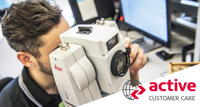
Leica Geosystems demonstrates ISO 9001 and ISO 14001 certified quality and environmental management. In-house calibration services and technical services support measurement accuracy throughout the product life cycle.
| Evidence | Heerbrugg |
|---|---|
| ISO 9001 | |
| ISO 14001 |
History
- 1921
Year of foundation according to company information (foundingDate)