Precise into the future
Lerch Weber AG
New on Amplifa
About us
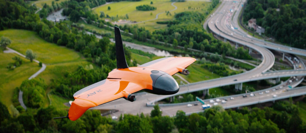
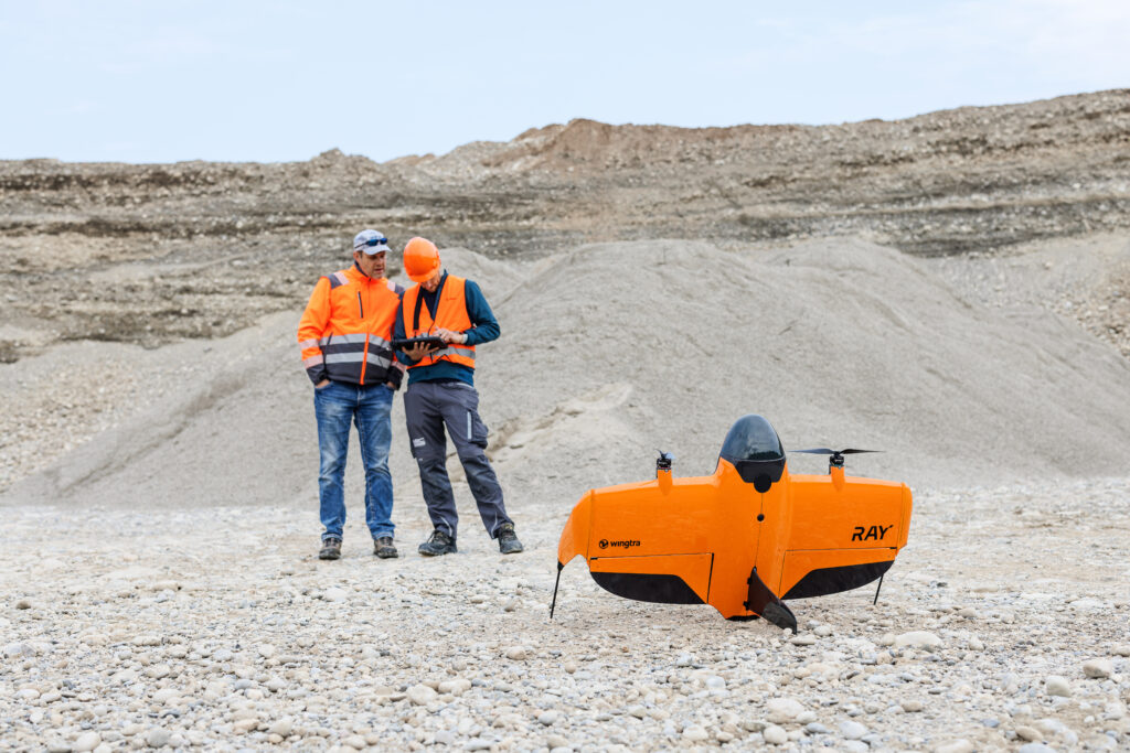
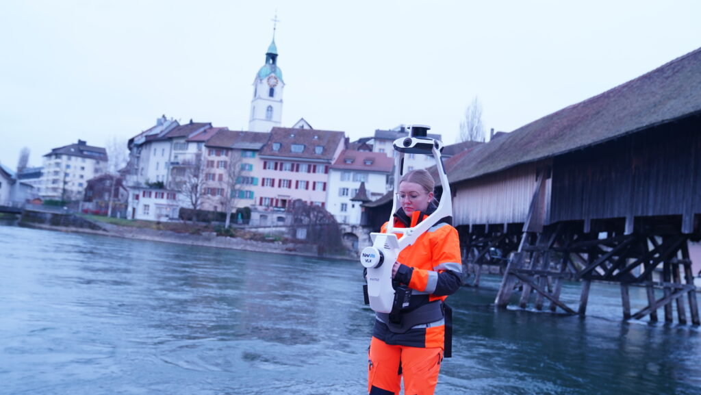
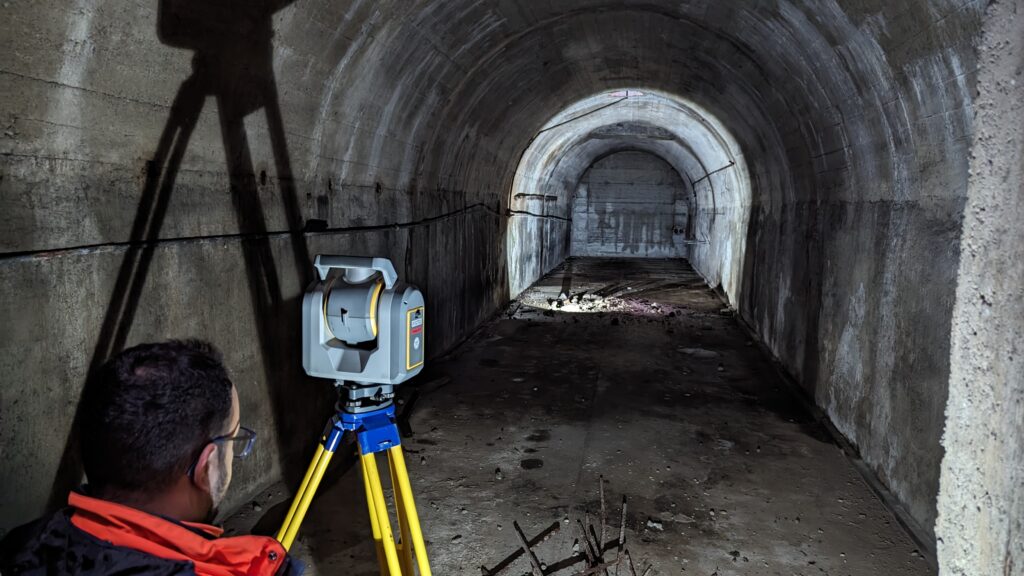
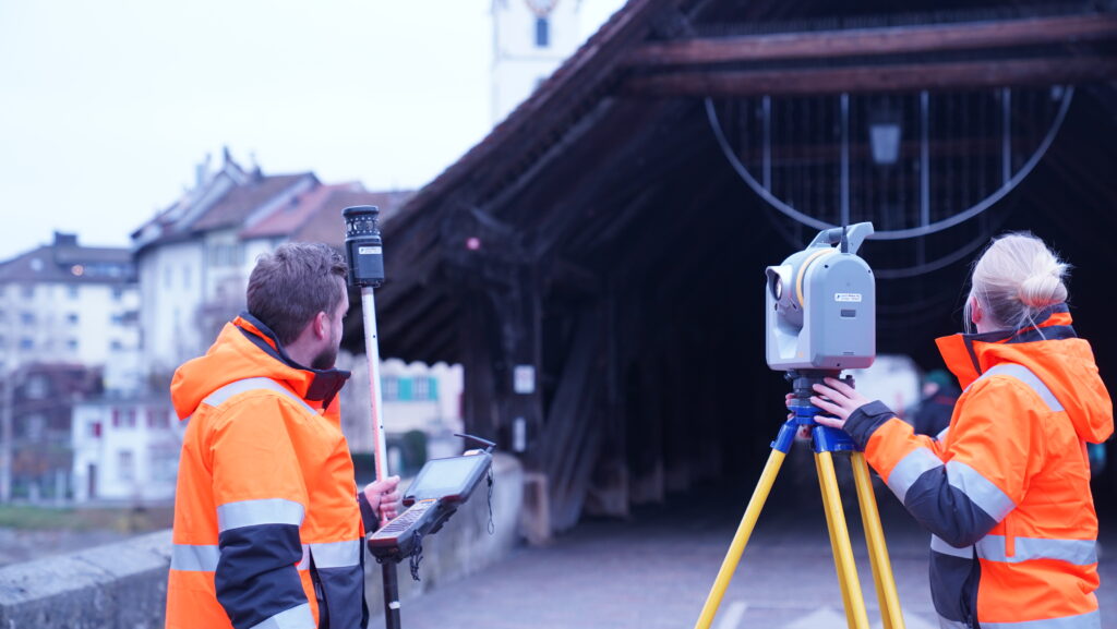
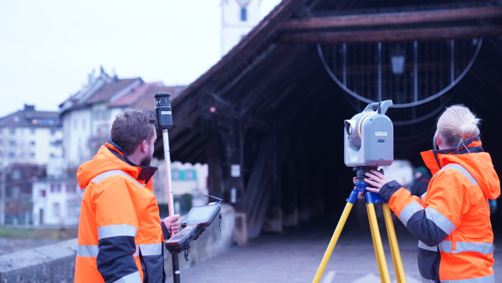
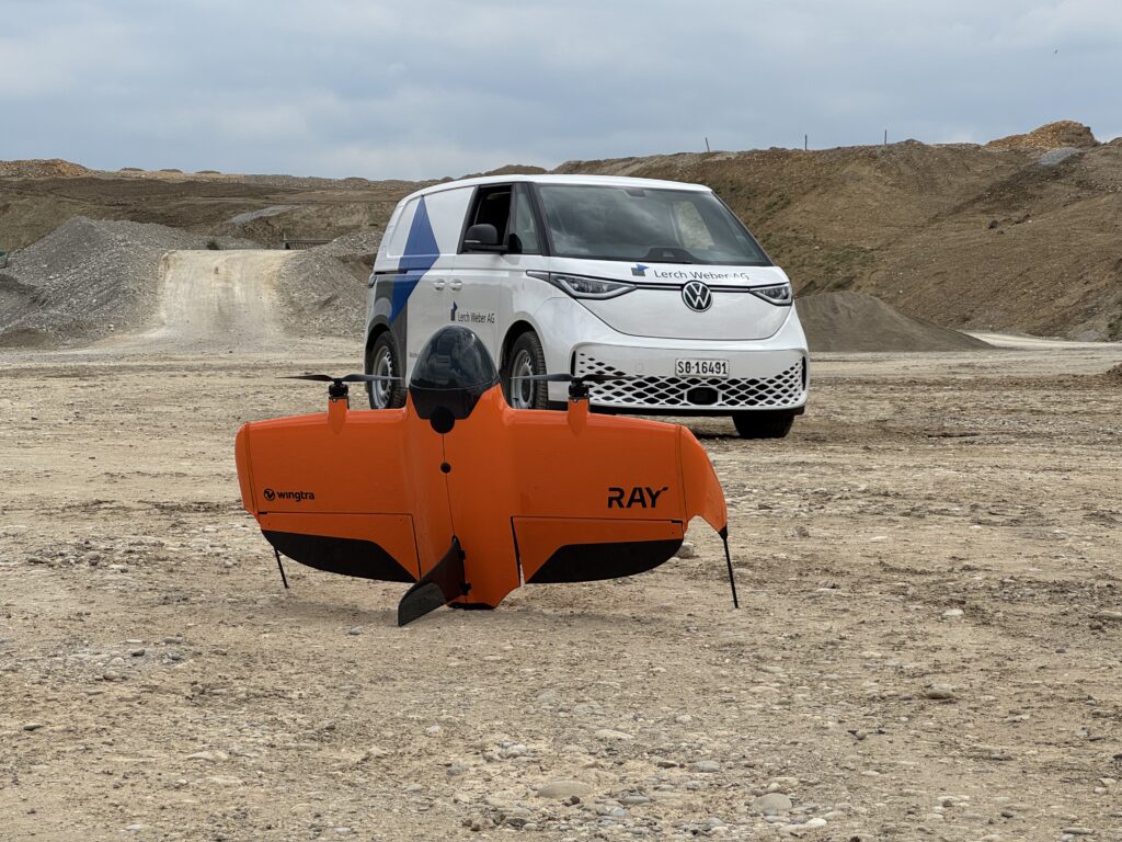
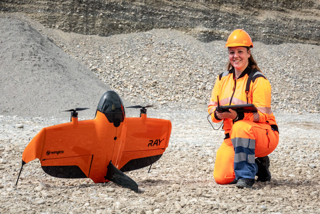
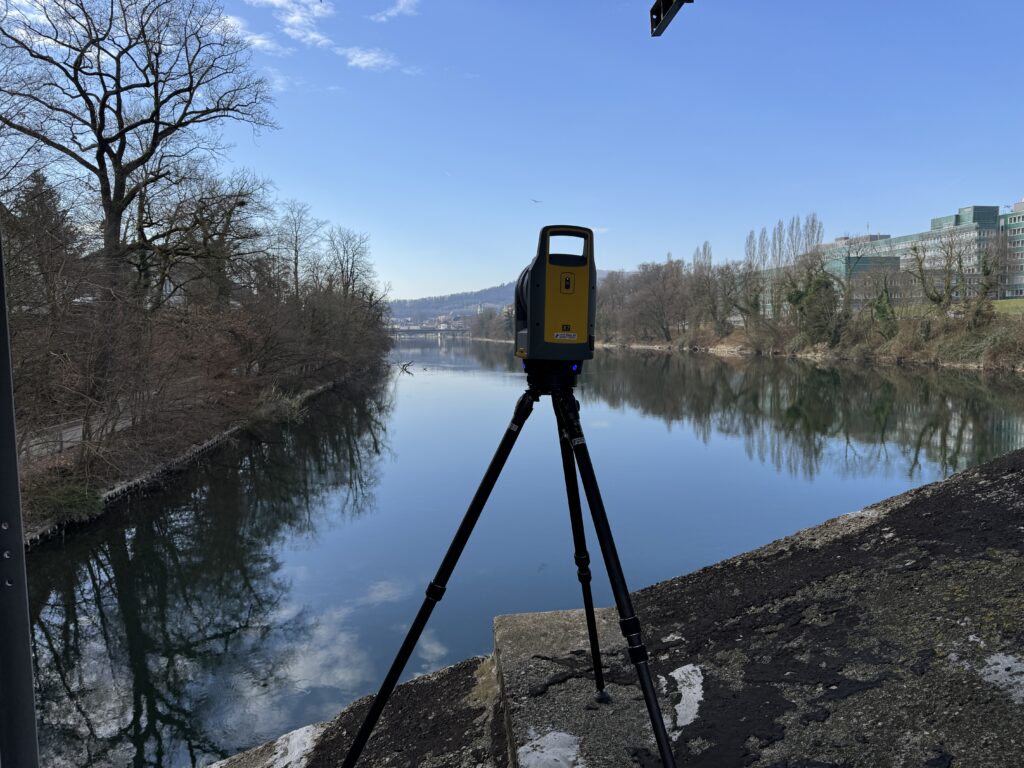
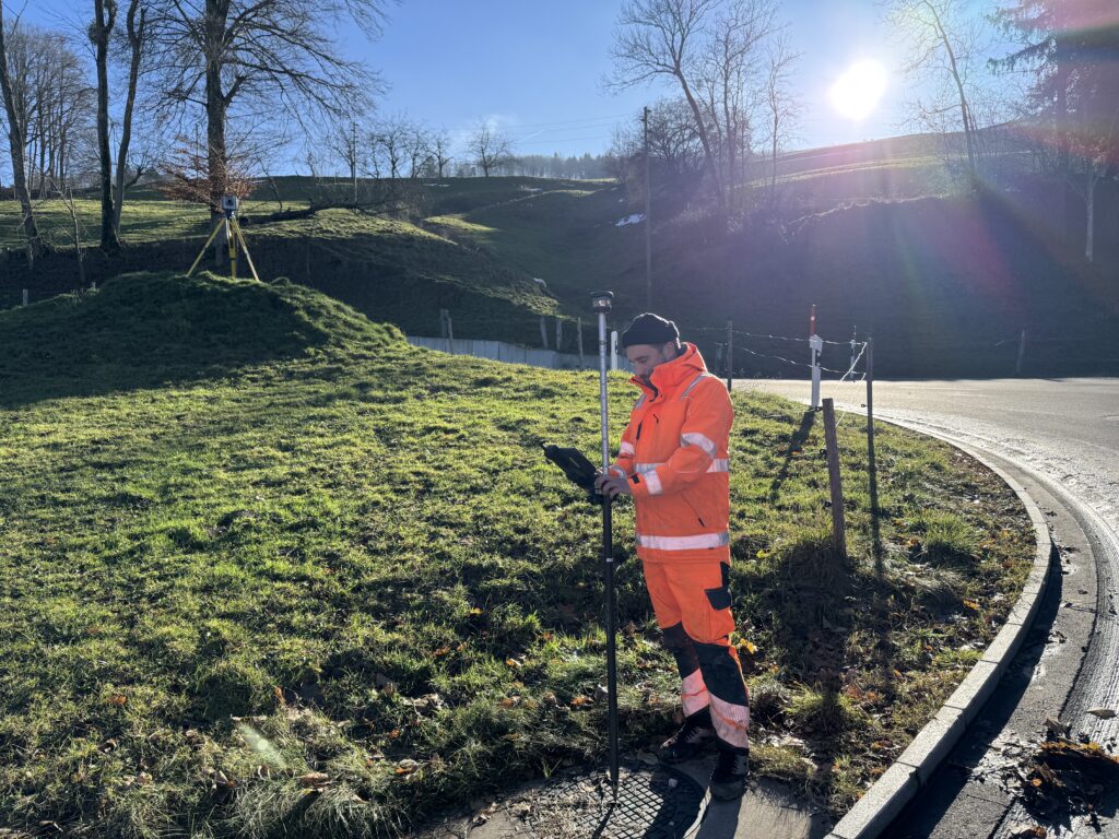
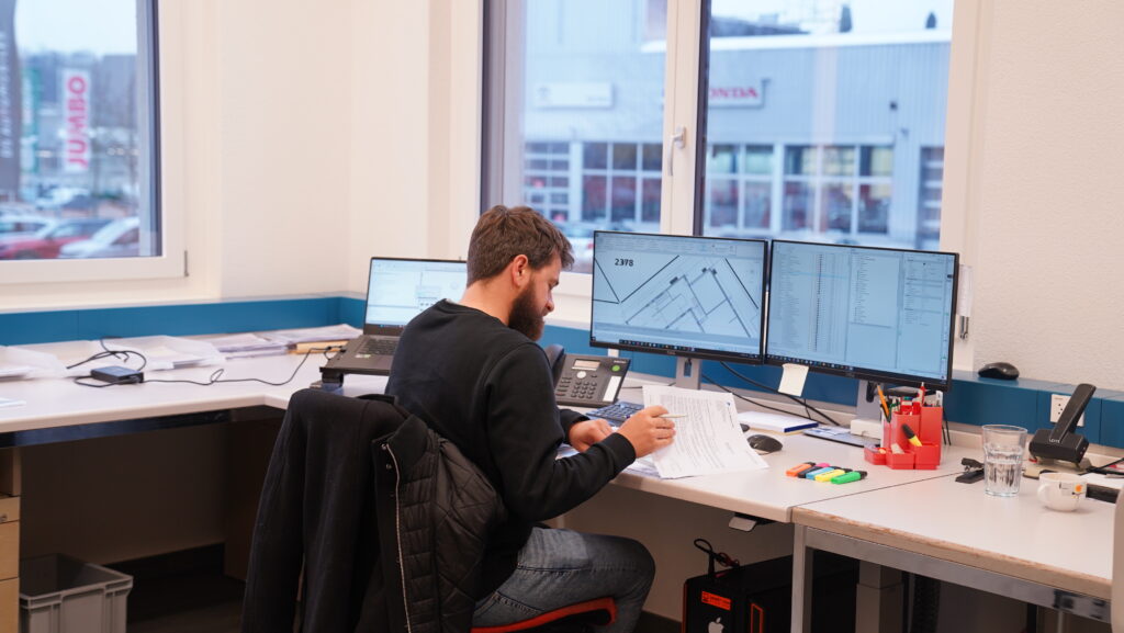
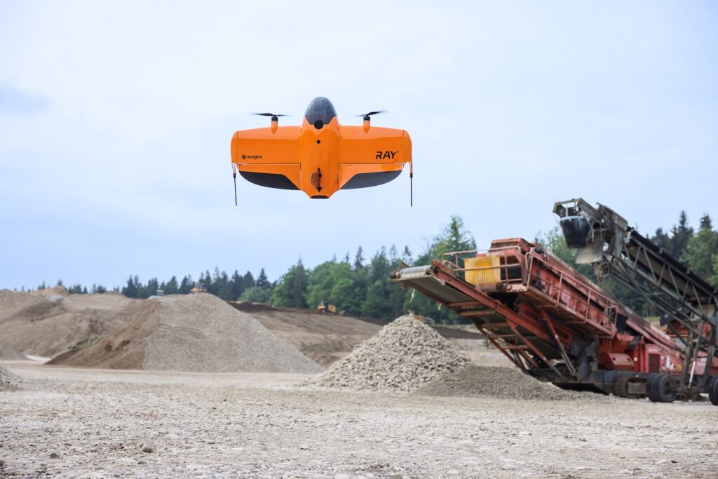
Lerch Weber AG is an independent surveying and engineering office in Olten and has been active as the district surveyor office Olten−Gösgen since 1905. The company captures precise base geodata for projects in official cadastral surveying, engineering and construction surveying, as well as in geoinformatics. Modern measurement methods are employed, such as aerial surveying with the vertically launching VTOL drone Wingtra RAY with flexible sensors and high-resolution imagery, as well as mobile mapping with the NaVis VLX system. With expertise and a modern range of instruments, a young, dynamic team develops targeted solutions for customers' needs – above and below the earth's surface.
- Site
- Olten
- Processes
- Official cadastral surveying, Engineering surveying, Construction surveying, Geoinformatics, Drone-based aerial surveying (Wingtra RAY VTOL), Mobile mapping (NaVis VLX), Drone surveying (Wingtra RAY VTOL)
- Founded
- 1905
- Industries
- Surveying, Geoinformatics
Inside the production

Industries
Processes & technical limits
| Processes | Tolerance | Max. part | Weight | Lot size | Materials |
|---|---|---|---|---|---|
| Official cadastral surveyingEngineering | – | – | – | – | – |
| Engineering surveyingEngineering | – | – | – | – | – |
| Construction surveyingEngineering | – | – | – | – | – |
| GeoinformaticsEngineering | – | – | – | – | – |
| Drone-based aerial surveying (Wingtra RAY VTOL)Engineering | – | – | – | – | – |
| Mobile mapping (NaVis VLX)Engineering | – | – | – | – | – |
2 Anlagen & Maschinen
| Machine | Manufacturer / model | Quantity | Working area | Year built | Site |
|---|---|---|---|---|---|
| VTOL drone | Wingtra RAY | – | – | – | – |
| Mobile mapping system | NaVis VLX | – | – | – | – |
Additional services
Company history
- 1905
Founded; independent surveying and engineering office for over a hundred years
- 2025
Introduction of the vertically launching VTOL drone Wingtra RAY for aerial surveying (since August 2025)