Develops cost-effective pulsed VAD-scanning Wind-LiDAR systems for wind measurement up to 2.5 km altitude.

LightEye
GenevaNew on Amplifa
About LightEye
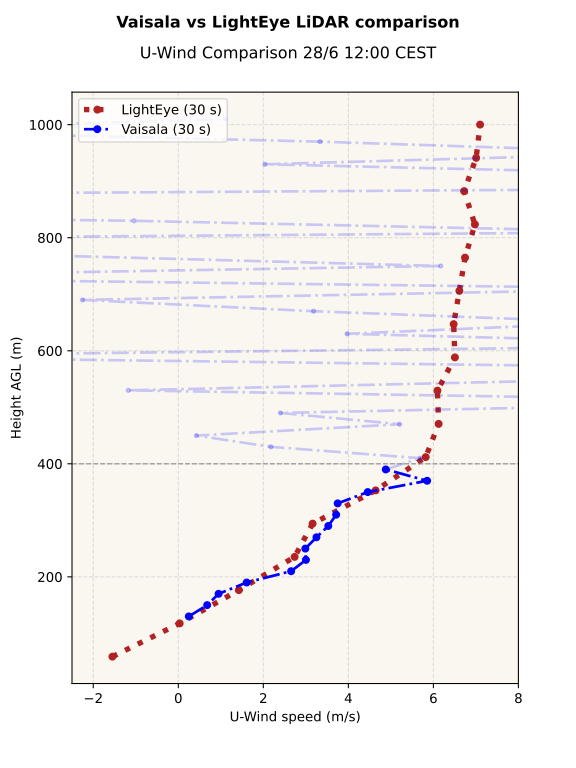
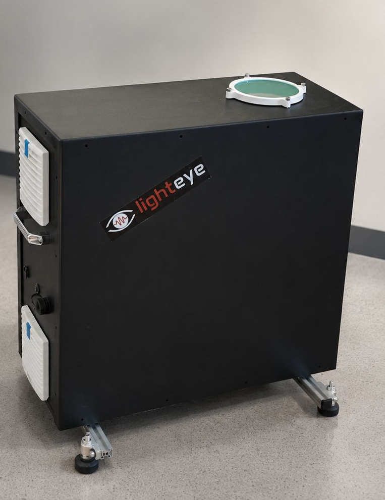
LightEye is a startup based in Geneva that develops Wind-LiDAR systems based on coherent Doppler measurement technology. The systems operate in pulsed mode with VAD scanning and capture boundary-layer wind data including gust, shear and turbulence measurements. The measurement range extends up to 2.5 km altitude (800 m at 1 second, 2.5 km at 10 minutes) with a selectable vertical resolution of 20–150 m and a minimum measurement height of 40 m. The laser operates at 1550 nm in Class 1M (eye-safe). The compact unit (20 kg, 50 x 50 x 25 cm³) is weatherproof to IP66, requires 40 W of power and offers an Ethernet interface with a Python API. Target applications include wind farms, airports, cities and remote terrain, as well as future distributed atmospheric sensor networks. LightEye is seeking customers and partners for field deployments, validation campaigns and new applications; pilot campaigns are quoted separately.
- Site
- Geneva, Switzerland
- Processes
- Wind measurement via Wind-LiDAR (pulsed, VAD-scanning, coherent Doppler), Boundary-layer wind data, Wind gust, shear and turbulence measurement, Python API / Ethernet interface, Pilot and validation campaigns
- Materials
- Fiber laser 1550 nm, Class 1M
- Industries
- Wind energy / Wind farms, Aviation / Airports, Meteorology / High-resolution weather forecasting, Atmospheric sensing networks, Cities / Urban monitoring, Research
- 01
System development
- 02
Laser and optics integration
- 03
Validation measurements
- 04
Pilot and field deployments
- 05
Data evaluation via Python API
Technical Data & Processes
Fiber laser 1550 nm, Class 1M
Eye-safe laser type for coherent Doppler wind measurement in the boundary-layer range.
Locations
Geneva
CHHeadquarters and development
Measurement Systems
Inside the production
Industries
Additional services