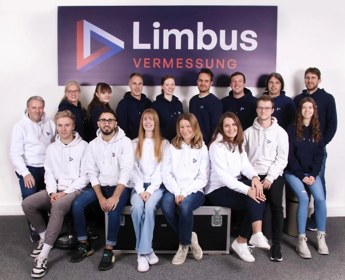
Surveying service provider for the digitalization of buildings and infrastructure using 3D laser scanning, mobile mapping and drone technology.

Limbus Vermessung GmbH
Traunstein · MunichNew on Amplifa
About Limbus Vermessung
Limbus Vermessung GmbH, headquartered in Traunstein, is a surveying service provider for the digitalization of buildings and infrastructure. Its range of services covers construction, building, engineering and industrial surveying as well as 3D laser scanning, mobile mapping, drone flights, expert appraisals and as-built documentation including monitoring. In addition, it offers 3D modeling (Autodesk Revit, Bentley MicroStation, OKSTRA), visualizations in virtual reality, and building and GIS management systems. Its customer base ranges from commercial enterprises such as Bosch and the European Patent Office to municipal clients, government authorities and building authorities. Emerging from the surveying division of ing Traunreut, the company traded as ing Geovision from 2016 and as Limbus Vermessung since 2021. In addition to its headquarters in Traunstein, the company maintains an office in Munich and carries out surveying work throughout Europe.
- Site
- Traunstein
- Processes
- 3D laser scanning, Mobile mapping, Drone flights, Construction surveying, Building surveying, Engineering surveying, Industrial surveying, Expert appraisals
- Materials
- 3D laser scanning, Mobile mapping, Drone flights, Total station / digital level, 3D modeling
- Founded
- 2016 (as
- Industries
- Process industry, Civil engineering, Infrastructure, Heritage conservation, Municipalities/authorities
- 01
Consulting and preliminary analysis
- 02
Data acquisition (laser scanning, mobile mapping, drone flights, total station)
- 03
Evaluation and 3D modeling
- 04
Documentation (plans, models, atlases, expert reports)
- 05
Transfer into GIS/building management systems
Technologies and Methods
3D laser scanning
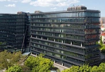
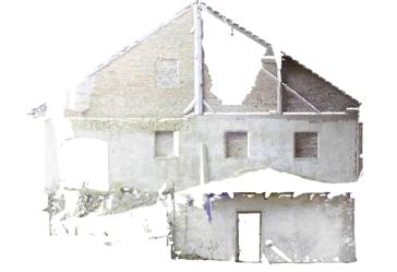
Capture of buildings, facades and installations for deformation-accurate measurement, flatness checks and evidence preservation.
Mobile mapping
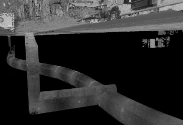
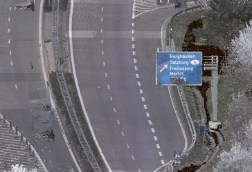
Mobile capture of roads, structures and infrastructure, e.g. road condition surveys.
Drone flights
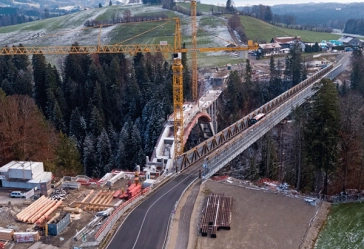
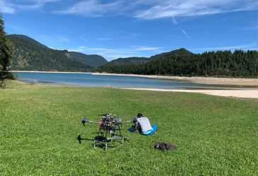
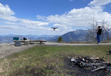
Aerial surveys of buildings, roof overviews, volume capture and bodies of water.
Total station / digital level
Precise construction, staking-out and control surveys as well as monitoring and settlement measurements.
3D modeling
Processing of measurement data into 3D models in Revit, MicroStation and OKSTRA.
Locations
Traunstein
DEHeadquarters
- Leica RTC360
- Leica BLK360
- Leica Pegasus Two Ultimate
- Leica digital level
- Leica TS16
- DJI Phantom 4
Munich
DEOffice
Service Areas
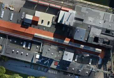
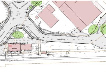
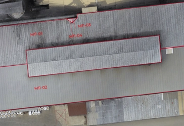

Inside the production
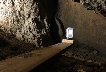
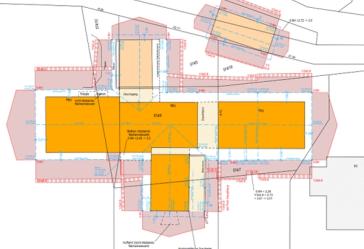
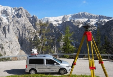
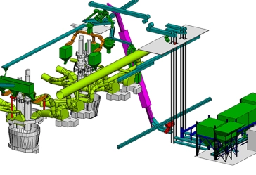
Industries
Processes & technical limits
| Processes | Tolerance | Max. part | Weight | Lot size | Materials |
|---|---|---|---|---|---|
| 3D laser scanningInspection | – | – | – | – | – |
| Mobile mappingInspection | – | – | – | – | – |
| Drone flightsInspection | – | – | – | – | – |
| Construction surveyingEngineering | – | – | – | – | – |
| Building surveyingEngineering | – | – | – | – | – |
| Engineering surveyingEngineering | – | – | – | – | – |
| Industrial surveyingEngineering | – | – | – | – | – |
| Expert appraisalsEngineering | – | – | – | – | – |
| As-built documentation, monitoringEngineering | – | – | – | – | – |
6 Anlagen & Maschinen
| Machine | Manufacturer / model | Quantity | Working area | Year built | Site |
|---|---|---|---|---|---|
| Terrestrial laser scanner | Leica RTC360 | – | – | 2018 | Traunstein |
| Terrestrial laser scanner | Leica BLK360 | – | – | 2018 | Traunstein |
| Mobile mapping system | Leica Pegasus Two Ultimate | – | – | 2020 | Traunstein |
| Digital level | Leica | – | – | – | Traunstein |
| Total station | Leica TS16 | – | – | – | Traunstein |
| Drone (UAV) | DJI Phantom 4 | – | – | – | Traunstein |
Additional services
Reference customers
History
- 2008–2015
Surveying as a specialist department within ing Traunreut
- 2016
Spin-off of the surveying department and founding of ing Geovision
- 2017
ing Geovision becomes a NavVis partner
- 2018
Entry into 3D modeling with Revit; first Leica BLK360 and RTC360 in operation
- 2019
Reintegration of the GIS department into ing Traunreut; focus on surveying and CAD
- 2020
Leica Pegasus Two Ultimate in operation; partnerships with Schubert Vermessung and Geosys-Eber Ingenieure; founding of Mobile Outdoor Mapping GmbH (MOM); Munich office opened
- 2021
Separation from ing Group/ing Traunreut, rebranding to Limbus Vermessung, relocation to Traunstein