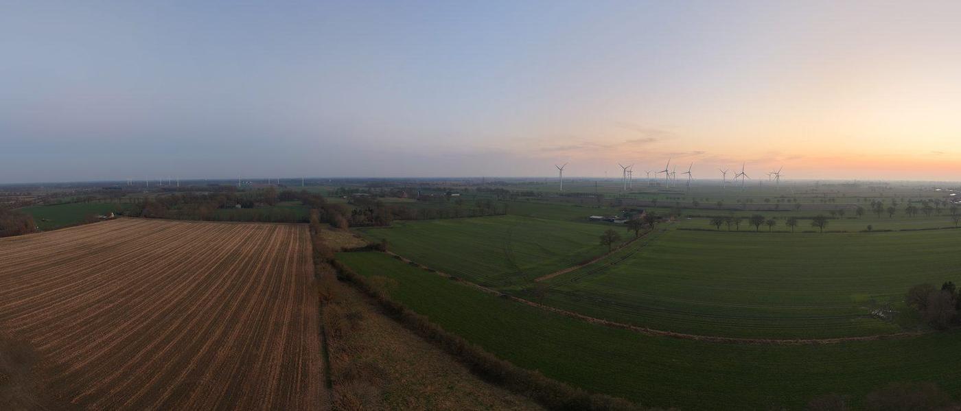
Drone-based surveying, construction documentation, thermography and inspection from Itzehoe

Lunero UG (haftungsbeschränkt)
Itzehoe · Schleswig-HolsteinNew on Amplifa
About Lunero Drone Service
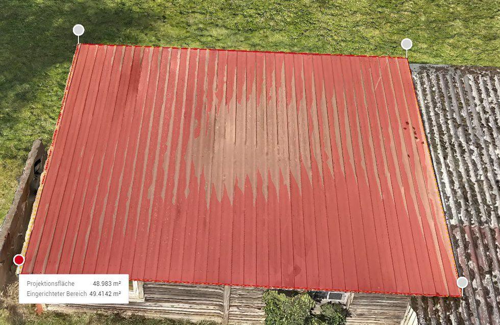
Lunero Drone Service is a drone service provider founded in 2024 in Itzehoe that captures buildings, areas and installations from the air and produces evaluable documents from them. The service portfolio includes drone-based surveying and as-built measurement (roof, facade, building, terrain models, point clouds, orthophotos, volumes, contour lines), recurring construction documentation with a reference route and web viewer, radiometric thermography for photovoltaic systems and building envelopes, as well as roof, facade and structural inspections including visual blade inspection of wind turbines and insurance damage documentation. The photogrammetric evaluation is carried out with satellite-based positioning (RTK) and achieves positional accuracies in the centimetre range; the accuracy achieved is reported per project in the evaluation report. Customers include construction, trades businesses, the energy sector, municipalities, the real estate industry and agriculture. The company originates from a construction office environment (quantity surveying, tender calculation, VOB billing) and operates a second business division, Nordkontor Siefke, for billing and calculation for trades businesses. Laser scanning and boundary determinations are brokered via a partner network.
- Site
- Itzehoe
- Processes
- Drone-based surveying (roof survey, facade survey, building survey, construction site survey), Photogrammetric evaluation (orthophoto/true orthophoto, dimensionally accurate), Digital surface model (unfiltered, including vegetation and buildings), Digital terrain model (filtered, open terrain), Textured 3D model (mesh with texture, web viewer), Point cloud creation (raw LAS/LAZ as well as filtered and classified), Volume calculation (piles, bulk material, excavation pits), Contour lines (DXF/SHP, freely selectable interval)
- Materials
- Satellite-based positioning (RTK), Photogrammetric evaluation, Radiometric thermography
- Founded
- 2024
- Industries
- Construction / Building industry, Trades businesses, Energy sector (photovoltaics, wind power), Municipalities, Real estate industry / brokers, Agriculture and forestry
- 01
Enquiry and consultation (response within 24 hours)
- 02
Fixed-price quotation per evaluation product
- 03
Aerial survey flight along the reference route
- 04
Photogrammetric evaluation (orthophoto, model, point cloud, report)
- 05
Delivery within 7 working days (express 3) or via web viewer
- 06
Follow-up questions about the result at no extra cost
Methods and Procedures
Satellite-based positioning (RTK)
Capture of the acquisition positions directly in the official reference system with positional accuracies in the centimetre range.
Photogrammetric evaluation
Produces dimensionally accurate orthophotos, terrain and 3D models as well as point clouds from overlapping aerial images.
Radiometric thermography
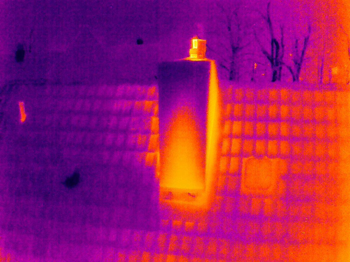
Thermal images with embedded temperature values for photovoltaic inspection and building envelopes.
Locations
Itzehoe
DEHead office
Services and Evaluation Products
Inside the production

Industries
Processes & technical limits
| Processes | Tolerance | Max. part | Weight | Lot size | Materials |
|---|---|---|---|---|---|
| Drone-based surveying (roof survey, facade survey, building survey, construction site survey)Engineering | Positional accuracies in the centimetre range | – | – | – | – |
| Photogrammetric evaluation (orthophoto/true orthophoto, dimensionally accurate)Engineering | Positional accuracies in the centimetre range | – | – | – | – |
| Digital surface model (unfiltered, including vegetation and buildings)Engineering | – | – | – | Fixed prices up to 2 ha of captured | – |
| Digital terrain model (filtered, open terrain)Engineering | – | – | – | Fixed prices up to 2 ha of captured | – |
| Textured 3D model (mesh with texture, web viewer)Engineering | – | – | – | – | – |
| Point cloud creation (raw LAS/LAZ as well as filtered and classified)Engineering | – | – | – | – | – |
| Volume calculation (piles, bulk material, excavation pits)Engineering | Heights are typically two to three times less accurate than | – | – | – | – |
| Contour lines (DXF/SHP, freely selectable interval)Engineering | – | – | – | – | – |
| Laser scanning (procured via network, for terrain model beneath vegetation)Testing | – | – | – | – | – |
| Construction documentation (recurring aerial survey at fixed intervals, reference route, imageTesting | – | – | – | Initial survey up to 1 ha, each | – |
| 360° interior documentation (walk-through documentation along an agreed route)Testing | – | – | – | – | – |
| Thermography photovoltaic inspection (radiometrically captured thermal images, defective bypassTesting | – | – | – | Systems up to over 1,000 kWp (beyond | – |
| Building thermography (thermal images of building envelopes, thermal bridges, leaky joints,Testing | – | – | – | – | – |
| Roof inspection as visual inspectionTesting | – | – | – | – | – |
| Commercial roof and facade inspectionTesting | – | – | – | – | – |
| Structural and object inspection (towers, bridges, silos, chimneys, masts, attic parapets, valleyTesting | – | – | – | – | – |
| Insurance damage documentation (storm and hail damage)Testing | – | – | – | – | – |
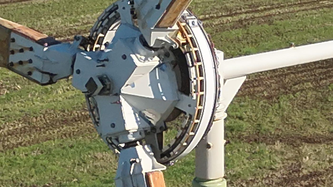
| Visual wind turbine blade inspection (turbine shut down, blade positioned)Testing | – | – | – | – | – |
| Aerial photography photo and video (real estate, construction progress, marketing, events)Engineering | – | – | – | – | – |
| 360° aerial panoramaEngineering | – | – | – | – | – |
| Marketing and image film (concept, shooting schedule, editing, sound design)Engineering | – | – | – | – | – |
| Fawn rescue with thermal imaging drone (voluntary before mowing, May–June)Testing | – | – | – | – | – |
| Animal search with thermal imaging drone (not a standard service, on request)Testing | – | – | – | – | – |
| Billing and tender calculation for trades businesses (business division Nordkontor Siefke)Engineering | – | – | – | – | – |
Additional services
History
- 2024
Foundation of Lunero UG (haftungsbeschränkt) in Itzehoe; origins in the construction/construction office environment (quantity surveying, tender calculation, VOB billing); second business division Nordkontor Siefke for billing and calculation for trades businesses