Engineering surveying, hydrography, mining survey plans, GIS and graphical-technical data processing from Herzberg (Elster) and Berlin
m-e-g GIS GmbH Vermessung und Datenverarbeitung
Herzberg (Elster) · BerlinNew on Amplifa
About m-e-g GIS GmbH
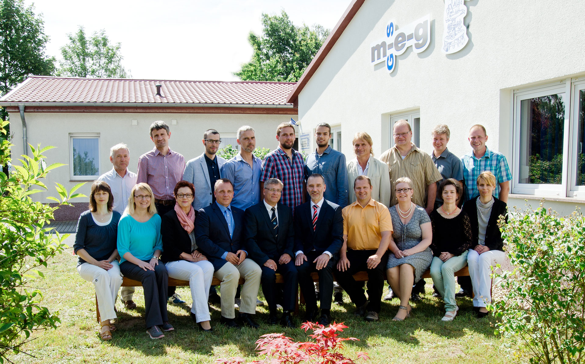
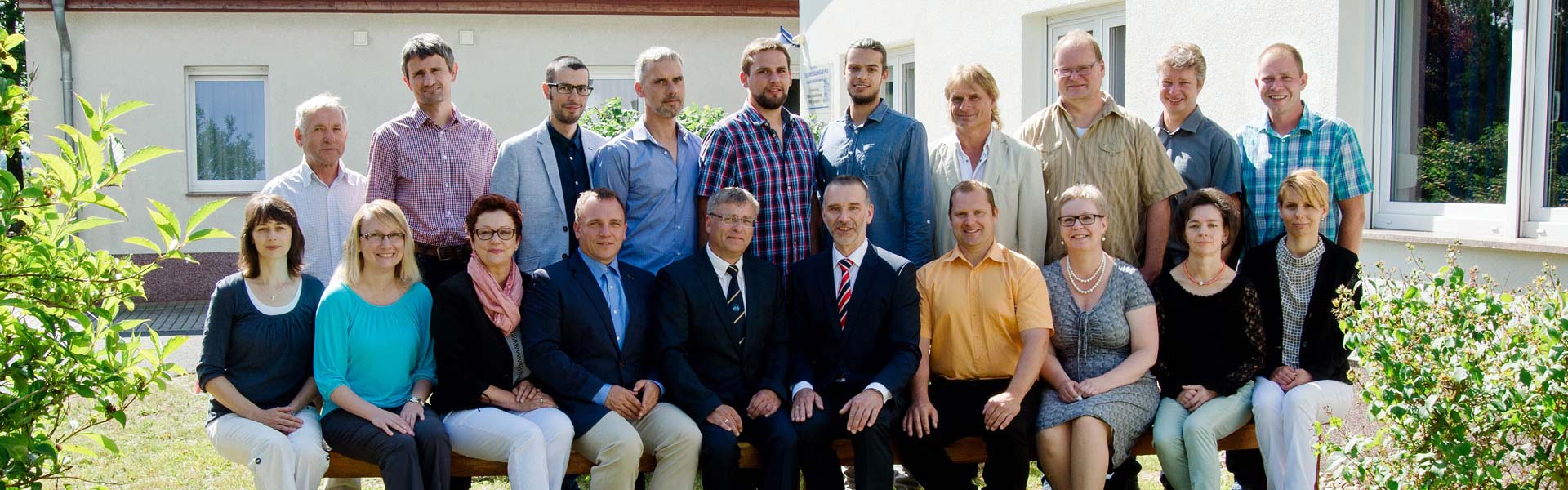
m-e-g GIS GmbH Vermessung und Datenverarbeitung is an engineering surveying office with its headquarters in Herzberg (Elster) and a branch office in Berlin. The company was founded in 1991 as the Ingenieur-Vermessungsbüro Münster-Erler-Graf GbR and was spun off in 2000 as m-e-g GIS GmbH; since 01.04.2022 the Vermessungsbüro Münster und Graf GbR has been fully integrated into the GmbH. The range of services includes engineering surveying, hydrographic surveying (bathymetry) including the recording of water bed morphology, mining survey plans for the non-metallic minerals industry, graphical-technical data processing, geographical information systems (GIS), software development, consulting and sales as well as copying, scanning and reproduction services. Customers include municipalities, utility and waste management companies and clients for watercourse surveys throughout Germany. Since 1999 the company has had a quality management system certified to DIN EN ISO 9001 and is a recognized training company of the IHK Cottbus. Around 25 employees plus trainees work at the two locations.
- Site
- Herzberg (Elster)
- Processes
- Engineering surveying, Hydrographic surveying (bathymetry), Mining survey plans, Geographical information systems (GIS), Graphical-technical data processing, Software development, consulting, sales, Copying and scanning service, Hydrography / hydrographic surveying (bathymetry)
- Materials
- Engineering Surveying, Hydrographic Surveying (Bathymetry), Mining Survey Plans, Geographical Information Systems (GIS), Graphical-Technical Data Processing, Software Development, Consulting, Sales
- Certificates
- DIN EN ISO 9001:1994 (quality management system, since 1999), ISO 9001
- Founded
- 1991 (pred
- Employees
- 25 + 1 trainees
- Industries
- Municipalities / public administration, Utility and waste management companies, Non-metallic minerals industry, Public road space maintenance, Watercourse surveying
- 01
Clarification of assignments and project intake
- 02
Field surveying (engineering surveying, bathymetry)
- 03
CAD-based evaluation and modeling
- 04
Processing in GIS and graphical-technical data processing
- 05
Handover of results (plans, digital terrain models, survey plans)
- 06
Software consulting and sales, scanning and copying service
Services and Methods
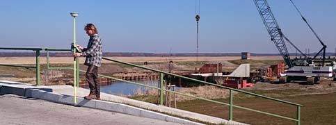
Engineering Surveying
Technical surveying as a discipline of geodesy, including evaluation, modeling and interpretation of measurement data.
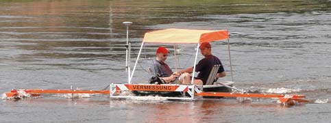
Hydrographic Surveying (Bathymetry)
Recording of water bed morphology by means of depth measurement, processed as nautical charts, digital terrain models and profiles.
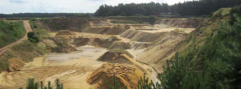
Mining Survey Plans
Data records for the safe and proper execution of mining activities in the non-metallic minerals industry.
Geographical Information Systems (GIS)
Administration and operation of GIS for municipalities, associations and utility and waste management networks in cities and municipalities.
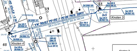
Graphical-Technical Data Processing
Graphical-technical processing of survey data including reproduction as well as scanning and copying services.
Software Development, Consulting, Sales
Development, consulting and sales of software in the field of surveying and information systems.
Locations
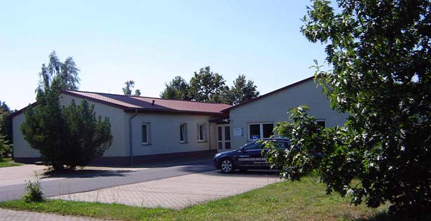
Herzberg (Elster)
DEHeadquarters, office building (since May 2001)
- Materials
- Engineering surveying, hydrography, GIS, data processing
- Hydroacoustic depth measurement system
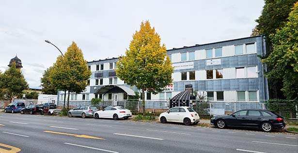
Berlin
DEOffice / branch office
- Materials
- Engineering surveying
- CAD-based survey data evaluation
Service Profiles
Inside the production
Industries
Processes & technical limits
| Processes | Tolerance | Max. part | Weight | Lot size | Materials |
|---|---|---|---|---|---|
| Engineering surveyingEngineering | – | – | – | – | – |
| Hydrographic surveying (bathymetry)Engineering | – | – | – | – | – |
| Mining survey plansEngineering | – | – | – | – | – |
| Geographical information systems (GIS)Engineering | – | – | – | – | – |
| Graphical-technical data processingEngineering | – | – | – | – | – |
| Software development, consulting, salesEngineering | – | – | – | – | – |
| Copying and scanning serviceEngineering | – | – | – | – | – |
1 Anlagen & Maschinen
| Machine | Manufacturer / model | Quantity | Working area | Year built | Site |
|---|---|---|---|---|---|
| Hydroacoustic depth measurement system | – | – | – | 1994 | Herzberg (Elster) |
Additional services
Reference customers
Quality
m-e-g GIS GmbH has been working with a certified quality management system according to DIN EN ISO 9001 since 1999 and trains surveying technicians with the IHK Cottbus.
| Evidence | Herzberg (Elster) |
|---|---|
| ISO 9001 |
History
- 1991
Founding of the Ingenieur-Vermessungsbüro Münster-Erler-Graf GbR by Ulrich Münster, Dietmar Erler and Jürgen Graf on 01.01.1991
- 1992
More than 10 employees; recognition as a training company of the IHK Cottbus
- 1994
Development of an in-house hydroacoustic depth measurement system; start of nationwide activities in watercourse surveying
- 1999
Introduction of a quality management system, certification according to DIN EN ISO 9001:1994
- 2000
Founding of m-e-g GIS Datenverarbeitungsgesellschaft mbH (today m-e-g GIS GmbH) as a spin-off
- 2001
Occupancy of the new office building at Osterodaer Straße 5a, Herzberg (Elster), in May 2001
- 2011
Lars Senftleben becomes a partner and authorized signatory and heads the Berlin office
- 2019
Sandra Tallowitz becomes a partner and authorized signatory
- 2022
Full integration of the Vermessungsbüro Münster und Graf GbR into m-e-g GIS GmbH as of 01.04.2022; Sandra Tallowitz and Lars Senftleben appointed managing directors; new website in October 2022