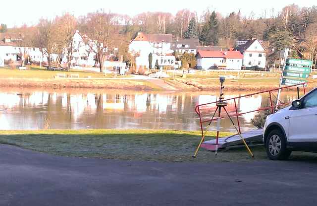
Engineering office for surveying and geodata: engineering, GNSS and railway track surveying as well as deformation and industrial surveys.
MärkSat Ingenieurbüro für Vermessung und Geodaten
58091 Hagen · GermanyNew on Amplifa
Engineering Office for Surveying and Geodata
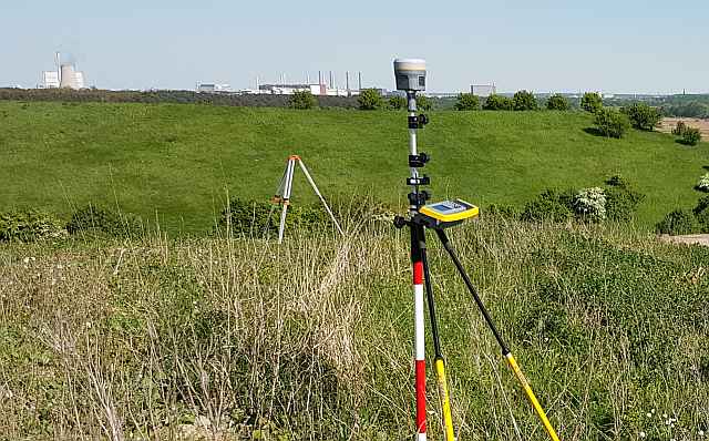
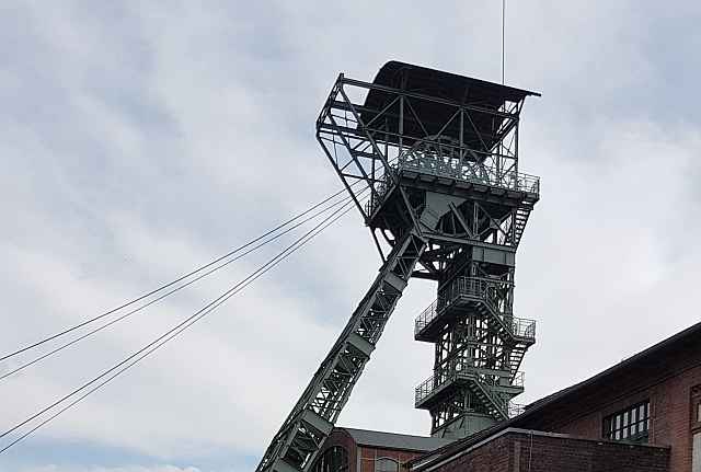
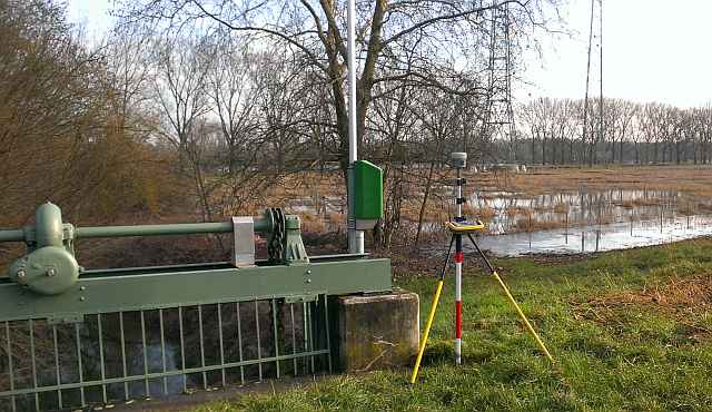
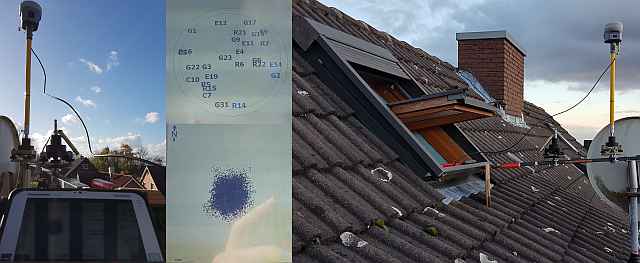
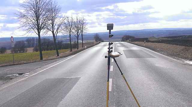
MärkSat Ingenieurbüro für Vermessung und Geodaten is an engineering office based in Hagen specializing in surveying services. Its service profile covers engineering surveying, GNSS surveying (SAPOS), surveying for aerial photo flights (LFP) and for Airborne Laser Scanning (ALS), railway track surveying, deformation measurements (monitoring), GWMS and gauge surveying, pipeline surveying, design surveys and industrial surveying. In addition, the office offers consulting and training as well as the use of UAV drones. Reference clients include DB Netze, DB Energy, Hansa Luftbild AG, the Federal Institute of Hydrology as well as waterway and shipping authorities. The project list ranges from rail infrastructure and waterways to landfills and mines and on to aerospace facilities such as the Effelsberg Radio Telescope. The contact person is Dipl.-Ing. Torsten Thielisch.
- Site
- Hagen
- Processes
- Engineering surveying, GNSS surveying (SAPOS), Consulting and training (surveying), Surveying for aerial photo flights (LFP), Surveying for ALS (Airborne Laser Scanning), Railway track surveying, Deformation measurements (monitoring), GWMS surveying
- Industries
- Rail infrastructure, Waterways and shipping, Aerial survey flights / Geodata, Energy supply, Mining / Landfills
- 01
Clarification of the order and consulting
- 02
Planning and setup of the survey projects
- 03
GNSS / terrestrial field surveying
- 04
Evaluation of the measurement data
- 05
Provision of the geodata and documentation
- 06
Consulting and training of the client
Locations
Hagen
DEOffice / Company headquarters
Service Areas
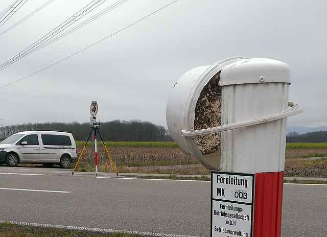
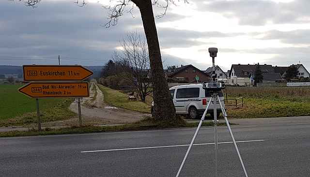
Inside the production

Industries
Processes & technical limits
| Processes | Tolerance | Max. part | Weight | Lot size | Materials |
|---|---|---|---|---|---|
| Engineering surveyingEngineering | – | – | – | – | – |
| GNSS surveying (SAPOS)Engineering | – | – | – | – | – |
| Consulting and training (surveying)Engineering | – | – | – | – | – |
| Surveying for aerial photo flights (LFP)Engineering | – | – | – | – | – |
| Surveying for ALS (Airborne Laser Scanning)Engineering | – | – | – | – | – |
| Railway track surveyingEngineering | – | – | – | – | – |
| Deformation measurements (monitoring)Testing | – | – | – | – | – |
| GWMS surveyingEngineering | – | – | – | – | – |
| Gauge surveyingEngineering | – | – | – | – | – |
| Pipeline surveyingEngineering | – | – | – | – | – |
| Design surveysEngineering | – | – | – | – | – |
| Industrial surveyingEngineering | – | – | – | – | – |
Additional services
Reference customers
Project History
- 2003
Earliest documented projects (SNRef 4350 Baumannsberg, Fichtelberg in the Ore Mountains)
- 2004
Year listed in the footer of the homepage (possibly the founding, not explicitly documented)
- 2007
First GPS / track measurement car deployments, projects including the Effelsberg Radio Telescope, St. Petersburg
- 2012
First GPS antenna, UAV deployments, projects including Stuttgart 21, Innotrans
- 2017
Galileo RTK initialization with AxioNET
- 2023
Last documented website update (01.01.2023)