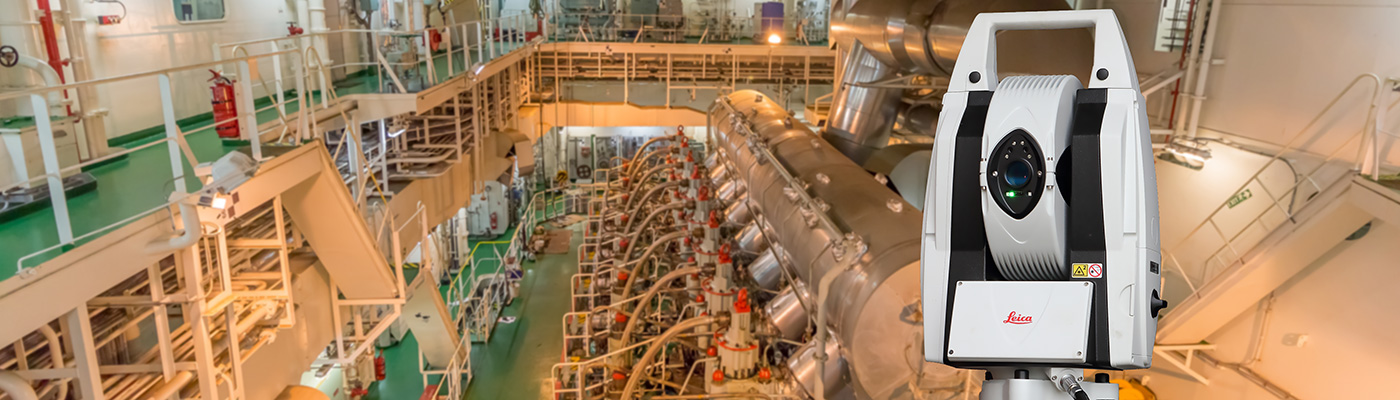
Service provider for 3D laser scanning, laser tracking, drone surveying and industrial measurement of components, plants, buildings and ships.

Tietgen & Ehm 3d Solutions GmbH
Hamburg (business office) · Winsen (Luhe) (operating facility)New on Amplifa
About us
Tietgen & Ehm 3d Solutions GmbH has been active in the field of 3D laser metrology since 2016. The company captures objects ranging from small components and free-form surfaces to large buildings, industrial plants, churches and ships. Depending on the task, 3D laser scanners, laser trackers, measuring arms with handheld probes and drones for aerial surveys are used; the measuring technology is fully mobile. From the measurement data, processed point clouds, 2D plans, 3D CAD models, nominal-actual comparisons and inspection reports are generated; via measuring arm and reverse engineering, CAD models are also derived from component measurement data. Fields of application include industry and plant construction, mechanical and plant engineering, construction and existing structures, architecture, heritage conservation and shipbuilding, including the surveying of hulls, superstructures and engine rooms. Projects are carried out on-site at the customer's premises and, where required, internationally; locations are Hamburg (business office) and Winsen (Luhe) (operating facility).
- Site
- Hamburg
- Processes
- 3D laser scanning, Laser tracking, Drone surveying (UAV), Industrial measurement (nominal-actual comparison), Measuring arm & reverse engineering, 3D ship surveying (hulls, superstructures, engine rooms), Crane runway measurement and geometric inspection, Network measurements on large objects
- Materials
- 3D Laser Scanning, Laser Tracking, Measuring Arm & Reverse Engineering, Drone Surveying, Industrial Measurement, 3D Ship Surveying
- Founded
- 2016
- Industries
- Industry & Plant Construction, Mechanical and Plant Engineering, Construction & Existing Structures, Architecture, Heritage Conservation, Shipbuilding
- 01
Clarify requirements and desired output formats
- 02
Plan measuring method, accuracy and scope
- 03
Mobile on-site capture (scanner, tracker, measuring arm, UAV)
- 04
Registration and evaluation of the data
- 05
Delivery of point clouds, CAD models, plans and inspection reports
Processes and Measuring Technology
3D Laser Scanning
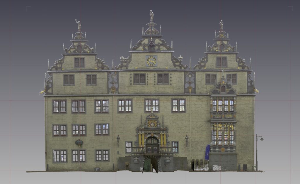
Areal as-built capture of buildings, plants, ships and components as a basis for conversion, BIM and planning.
Laser Tracking
High-precision inspection, alignment and positioning of large components, machines and plants, including network measurements and hidden points.
Measuring Arm & Reverse Engineering
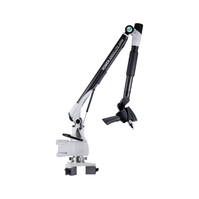
Digitization of components and free-form surfaces with handheld probes and derivation of new CAD models.
Drone Surveying
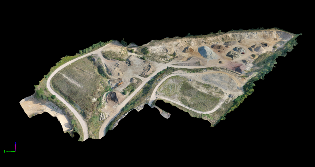
Efficient capture of large or hard-to-access areas with aerial images, orthophotos and digital terrain models.
Industrial Measurement
Nominal-actual comparisons for assembly, quality assurance and production, including crane runway measurement and geometric inspection.
3D Ship Surveying
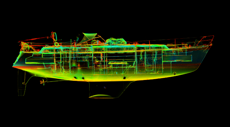
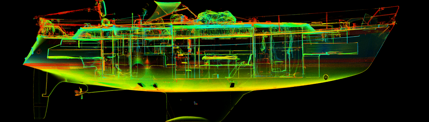
CAD-ready captures of hulls, superstructures, engine rooms and interiors for design, conversion and retrofit.
Locations
Hamburg
DEBusiness office
Winsen (Luhe)
DEOperating facility
Measured Objects
Inside the production
Industries
Processes & technical limits
| Processes | Tolerance | Max. part | Weight | Lot size | Materials |
|---|---|---|---|---|---|
| 3D laser scanningInspection | – | – | – | – | – |
| Laser trackingInspection | – | – | – | – | – |
| Drone surveying (UAV)Inspection | – | – | – | – | – |
| Industrial measurement (nominal-actual comparison)Inspection | – | – | – | – | – |
| Measuring arm & reverse engineeringEngineering | – | – | – | – | – |
| 3D ship surveying (hulls, superstructures, engine rooms)Engineering | – | – | – | – | – |
| Crane runway measurement and geometric inspectionInspection | – | – | – | – | – |
| Network measurements on large objectsInspection | – | – | – | – | – |
| Measurement of hidden points with handheld probesInspection | – | – | – | – | – |
| Aerial images, orthophotos and digital terrain modelsInspection | – | – | – | – | – |
4 Anlagen & Maschinen
| Machine | Manufacturer / model | Quantity | Working area | Year built | Site |
|---|---|---|---|---|---|
| 3D laser scanner | – | – | – | – | Hamburg / Winsen (Luhe), mobile on-site at the customer |
| Laser tracker | – | – | – | – | Hamburg / Winsen (Luhe), mobile on-site at the customer |
| Measuring arm (measuring arm with handheld probes) | – | – | – | – | Hamburg / Winsen (Luhe), mobile on-site at the customer |
| Drone (Microkopter) for UAV aerial surveys | Microkopter | – | – | – | Hamburg / Winsen (Luhe) |
Additional services
History
- 2016
Founding and start of business operations as Tietgen & Ehm 3d Solutions GmbH with a focus on 3D laser metrology.
- 2016
02.06.2016: Expansion of the service portfolio to include drone flights with a Microkopter – aerial images, orthophotos and digital terrain models.
- 2016
26.08.2016: Revised homepage with new content on laser tracking, laser scanning and UAV aerial surveys.