Ist das Ihr Unternehmen? Profil übernehmen
Entwicklung und Integration von Sensorsystemen für kinematische und luftgestützte Vermessung

IGI mbH - Integrated Geospatial Innovations
Kreuztal (Langenauer Str. 46, Hauptsitz)Neu auf Amplifa
Über IGI
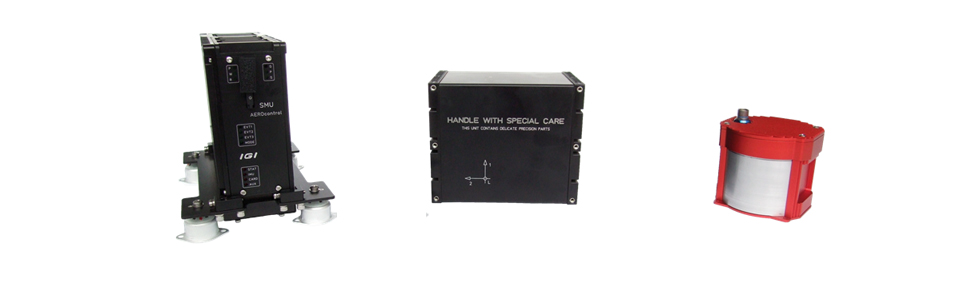
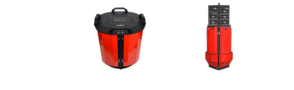
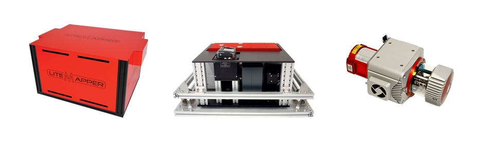
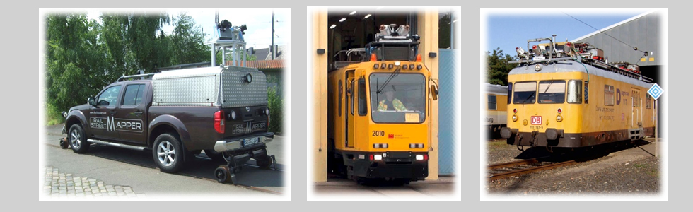
IGI mbH mit Sitz in Kreuztal ist auf die Systemintegration von Sensoren in eigenentwickelte Positionierungssysteme sowie auf den Vertrieb von All-in-One-Lösungen für kinematische und luftgestützte Vermessungsmissionen spezialisiert. Das Produktportfolio umfasst GNSS/IMU-Navigationssysteme (AEROcontrol/TERRAcontrol), modulare Luftbildkameras (DigiCAM), luftgestützte LiDAR-Systeme (LiteMapper) für Flugzeuge, Hubschrauber, Gyrocopter und UAVs, Mobile Mapping Systeme für Schiene (RailMapper) und Straße (StreetMapper-V, SAM) sowie das Sensormanagement-System CCNS-5. Mit Cavalon Aerial Survey bietet IGI eine Turn-key-Lösung für Photogrammetrie, Airborne LiDAR und 3D-Stadtmodellierung; die Software IGIplan unterstützt die Missionsplanung. Das Unternehmen ist weltweit tätig und bietet gemeinsam mit Partnern First-Level-Support sowie Remote-Dienstleistungen per Desktop-Sharing an.
- Standort
- Kreuztal
- Verfahren
- Systemintegration von Sensoren in eigenentwickelte Positionierungssysteme, Vertrieb von All-in-One-Lösungen für kinematische und luftgestützte Vermessung, Mission Planning & Flight Guidance, GNSS/IMU-Navigationssysteme (AEROcontrol/TERRAcontrol), Modulare Luftbildkameras (DigiCAM), Luftgestützte LiDAR-Systeme (LiteMapper), Mobile Mapping Systeme (RailMapper, StreetMapper), Turn-key-Lösungen (Cavalon Aerial Survey)
- Branchen
- Geodäsie/Vermessung, Luftbildphotogrammetrie, Airborne LiDAR, 3D-Stadtmodellierung, Mobile Mapping (Schiene/Straße), Geospatial/Vermessung
- 01
Engineering und Entwicklung der Positionierungssysteme
- 02
Systemintegration von Sensoren
- 03
Montage und Konfiguration der Vermessungssysteme
- 04
Software-Lösungen (IGIplan) und Missionsplanung
- 05
Vertrieb und weltweiter Support
Standorte
Kreuztal
DEHauptsitz, Entwicklung und Systemintegration
- Werkstoffe
- GNSS/IMU, Kameras, LiDAR
- AEROcontrol / TERRAcontrol
- DigiCAM
- LiteMapper
- RailMapper
- CCNS-5
- SAM
- Cavalon Aerial Survey
Systeme & Produkte
Branchen
8 Anlagen & Maschinen
| Maschine | Hersteller / Modell | Anzahl | Arbeitsraum | Baujahr | Standort |
|---|---|---|---|---|---|
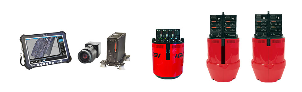
| GNSS/IMU Navigation System | IGI AEROcontrol / TERRAcontrol | – | – | – | Kreuztal |
| Modular Aerial Camera System | IGI DigiCAM | – | – | – | Kreuztal |
| Modular Airborne LiDAR System (fixed-wing, helicopter, gyrocopter, UAV/RPAS) | IGI LiteMapper | – | – | – | Kreuztal |
| Mobile Mapping System für Hi-Rail Cars und Züge | IGI RailMapper | – | – | – | Kreuztal |
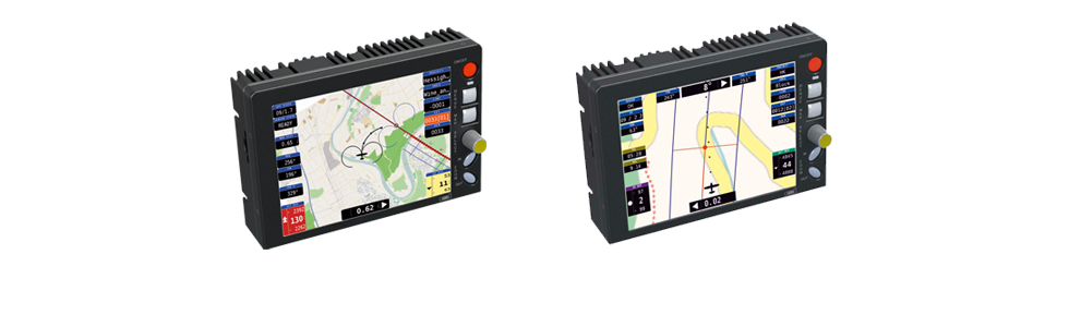
| Guidance, Positioning und Sensormanagement-System für Luftvermessung | IGI CCNS-5 | – | – | – | Kreuztal |
| Mobile Mapping System (terrestrische Laser-Scanner auf Fahrzeugen) | IGI SAM | – | – | – | Kreuztal |
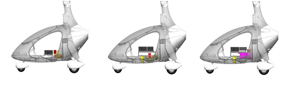
| Turn-key Lösung für Photogrammetrie, Airborne LiDAR und 3D City Modelling | IGI Cavalon Aerial Survey | – | – | – | Kreuztal |
| StreetMapper-V Integration mit Mosaic X (Mobile Mapping) | IGI StreetMapper-V / Mosaic X | – | – | – | Kreuztal |
Zusatzleistungen
Referenzkunden